Day 23 Monday, September 22, 2025
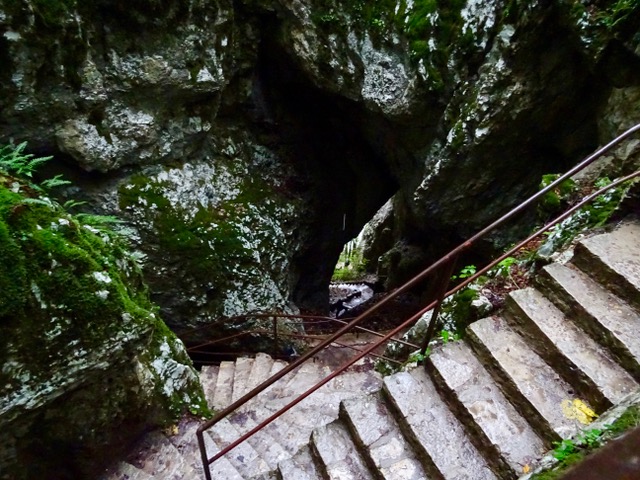
We are driving to Fontoy, France but we have a couple of stops planned on the way. The first stop is Dinant where we visit a cave called La Grotte la Marveilleuse, or The Wonderful Cave. We are given a brief description of the route we will be taking inside the cave as it is self-guided.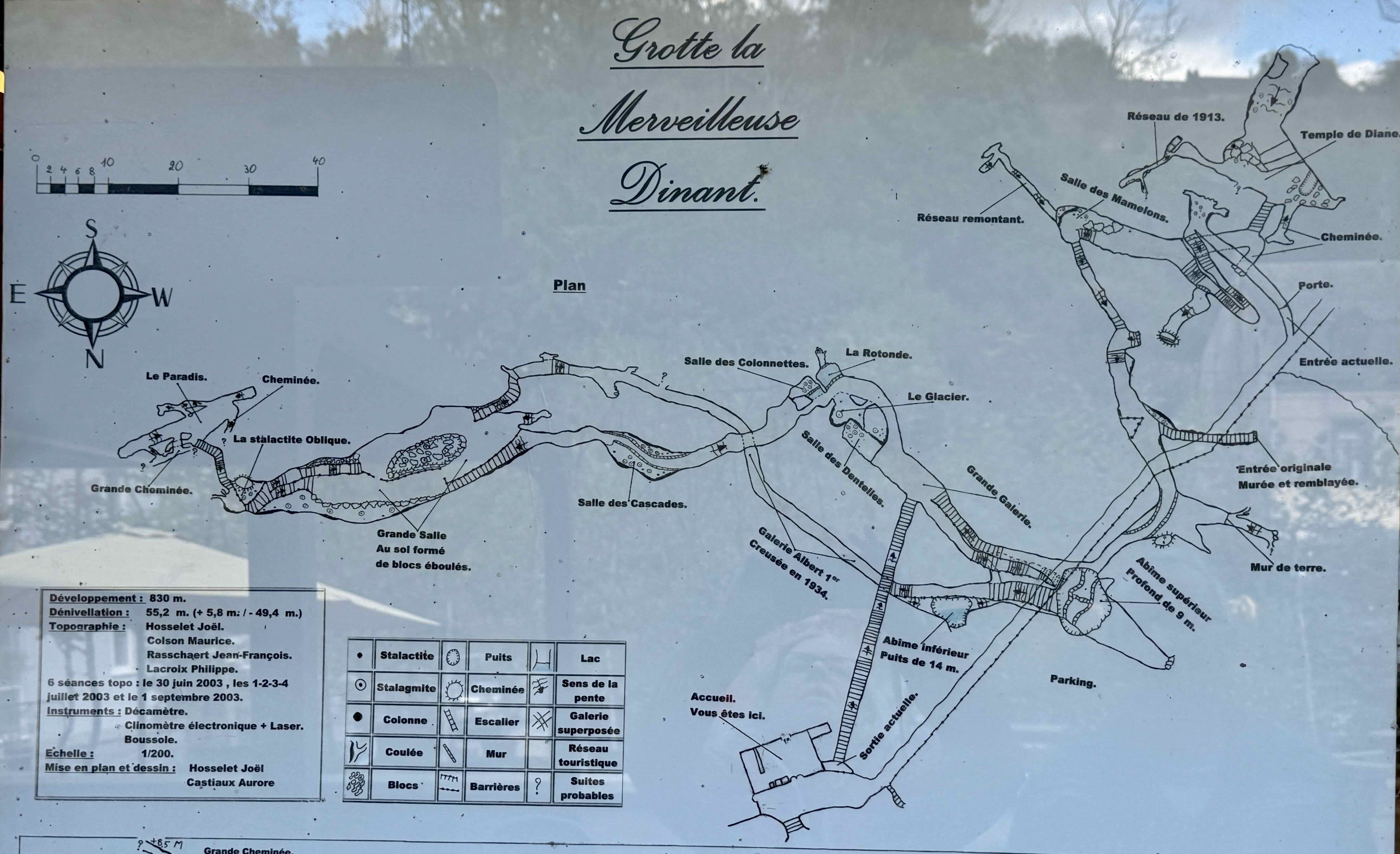 We walk down several flights of stairs and are surprised how big the cave is and the variety of formations we see.
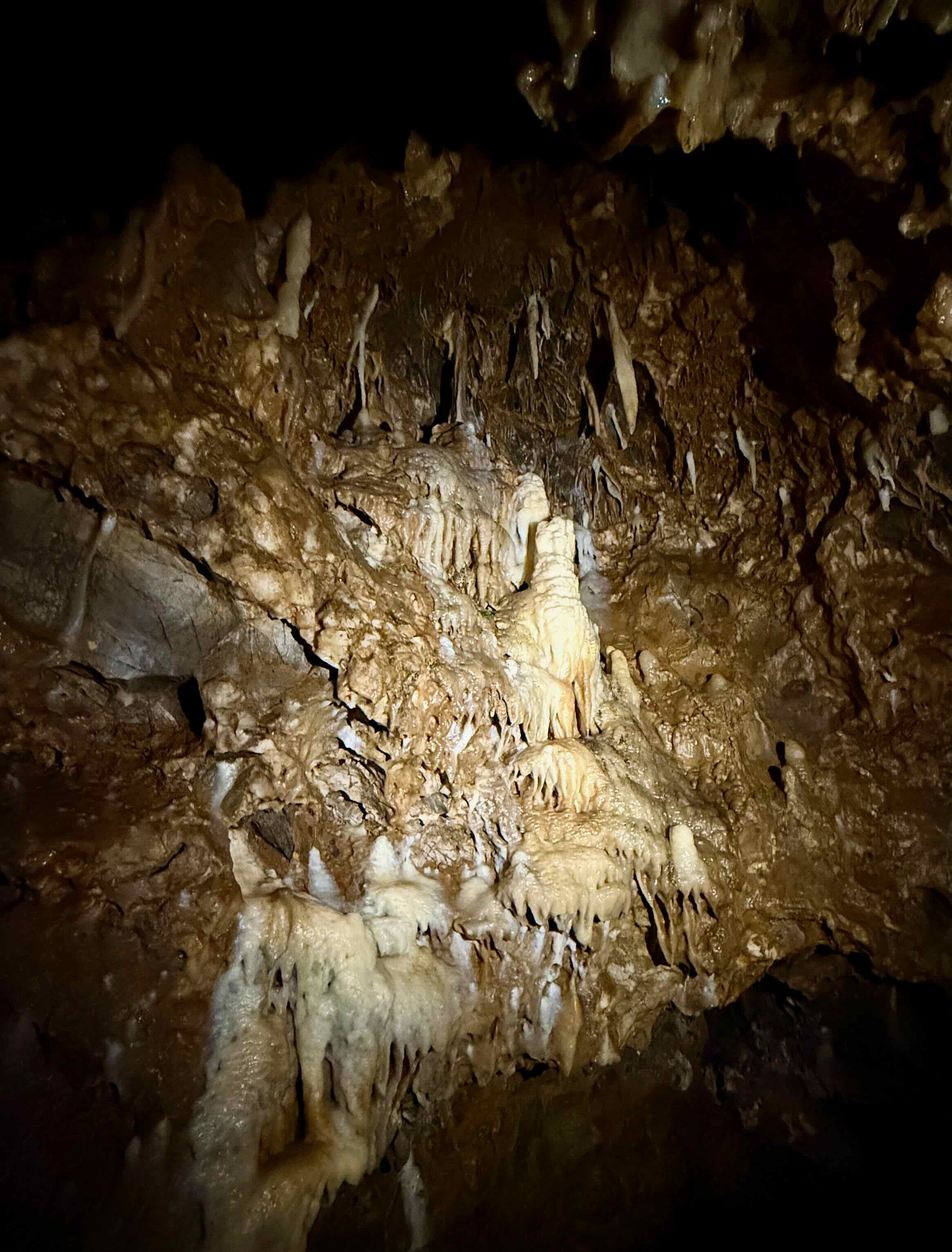
Some of them are very impressive.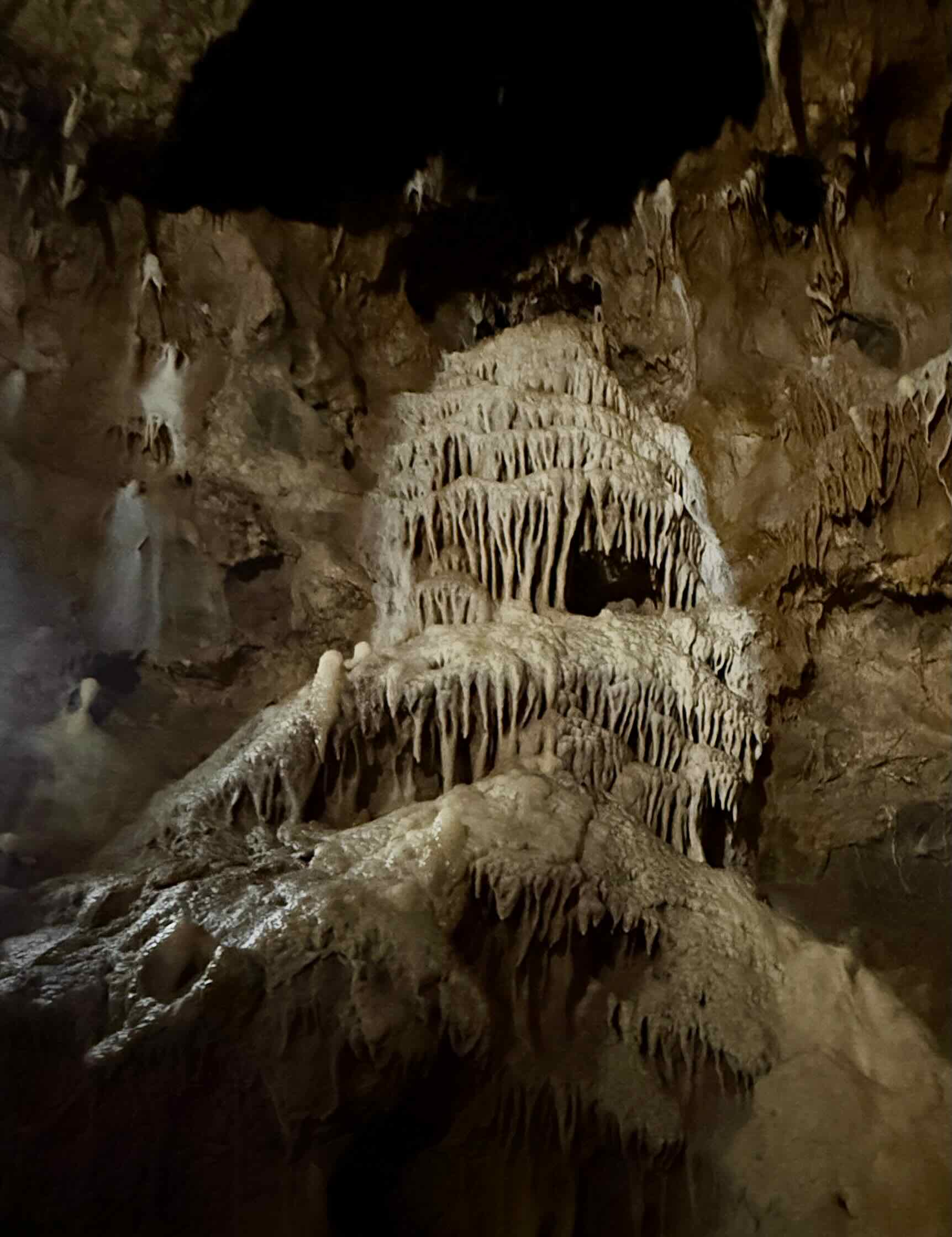 There are some rather large stalagmites
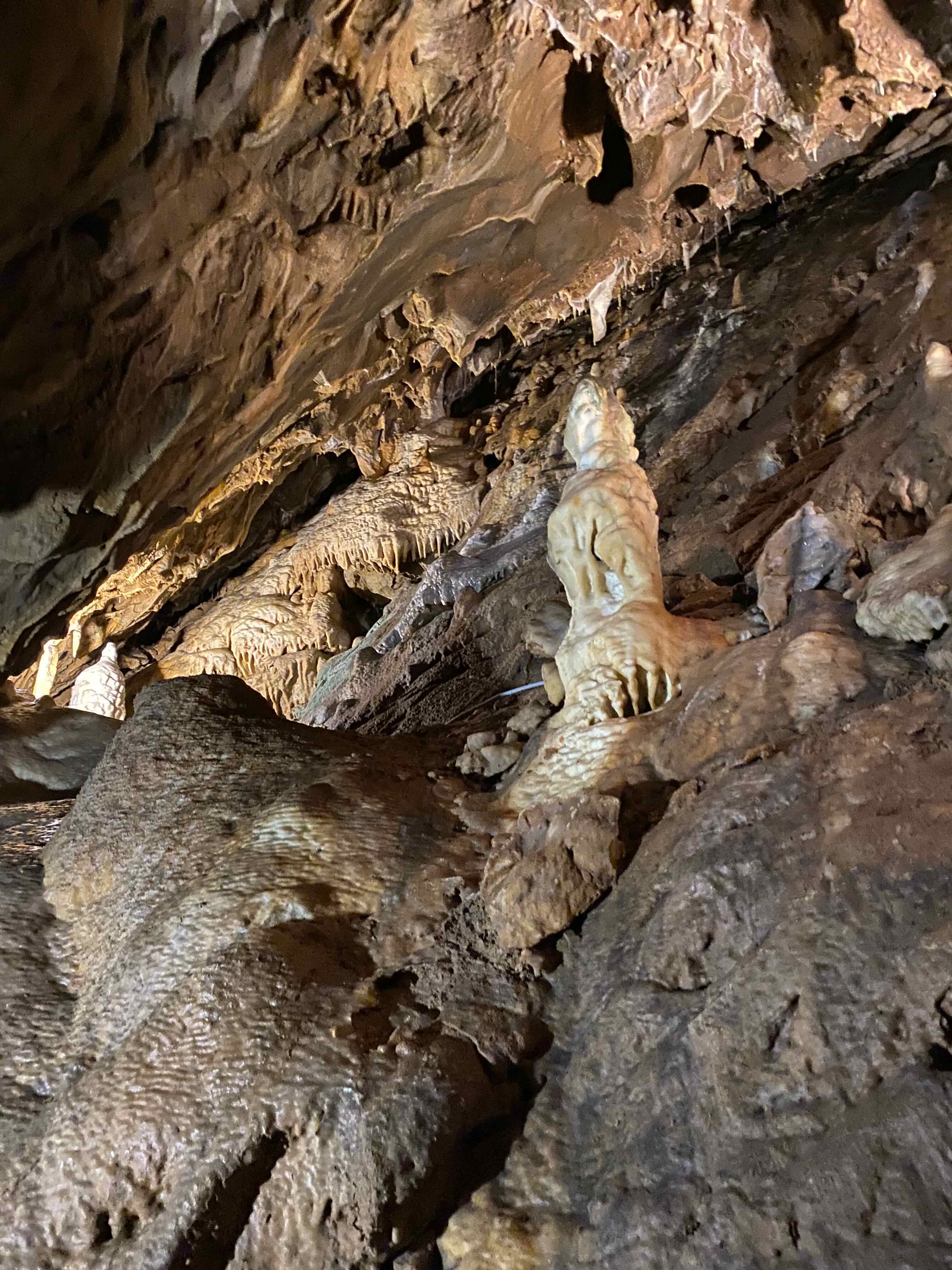
This white limestone formation is called The Glacier.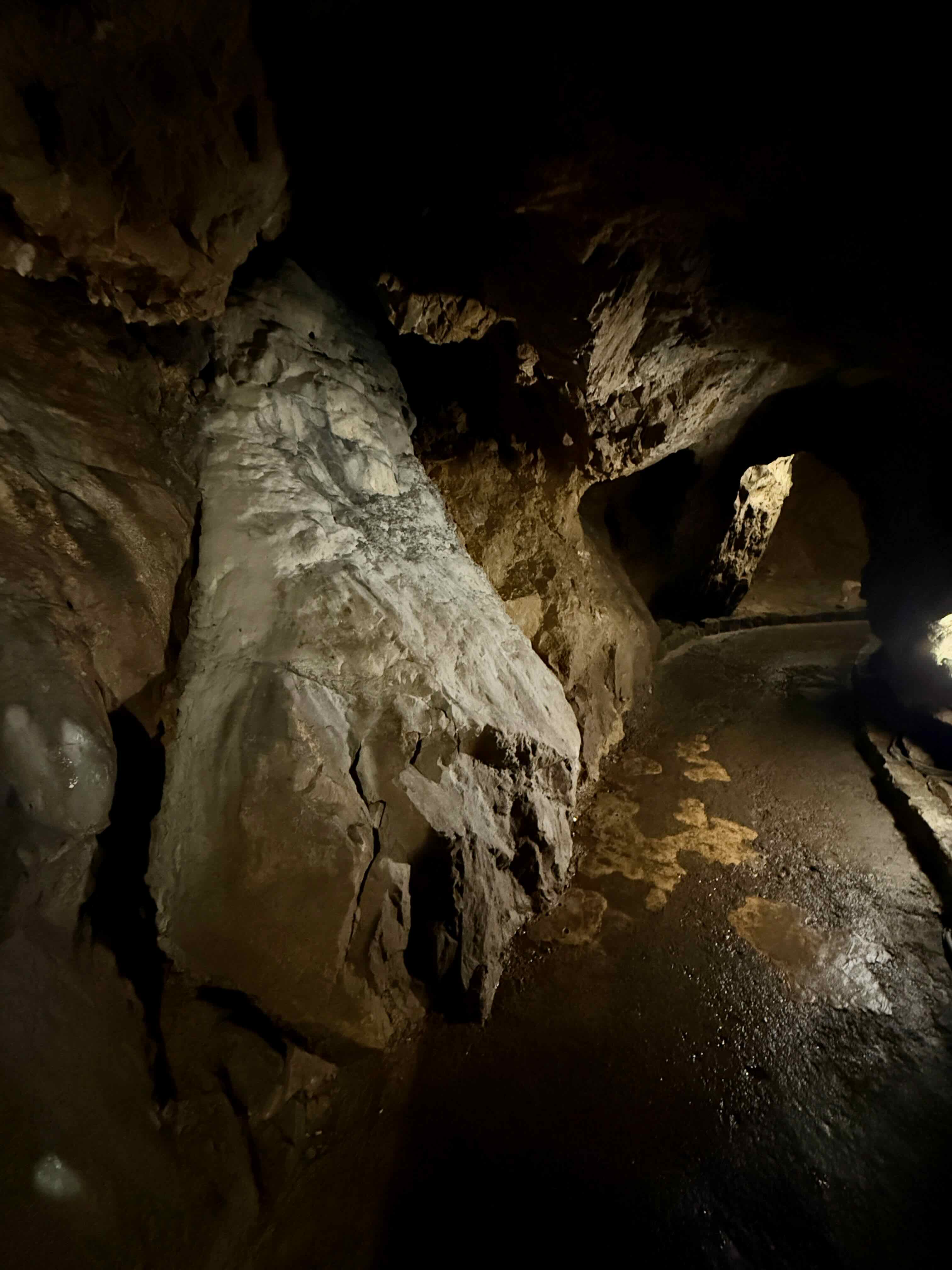 There are stalactites of all sizes hanging from the roof and walls of the cave.
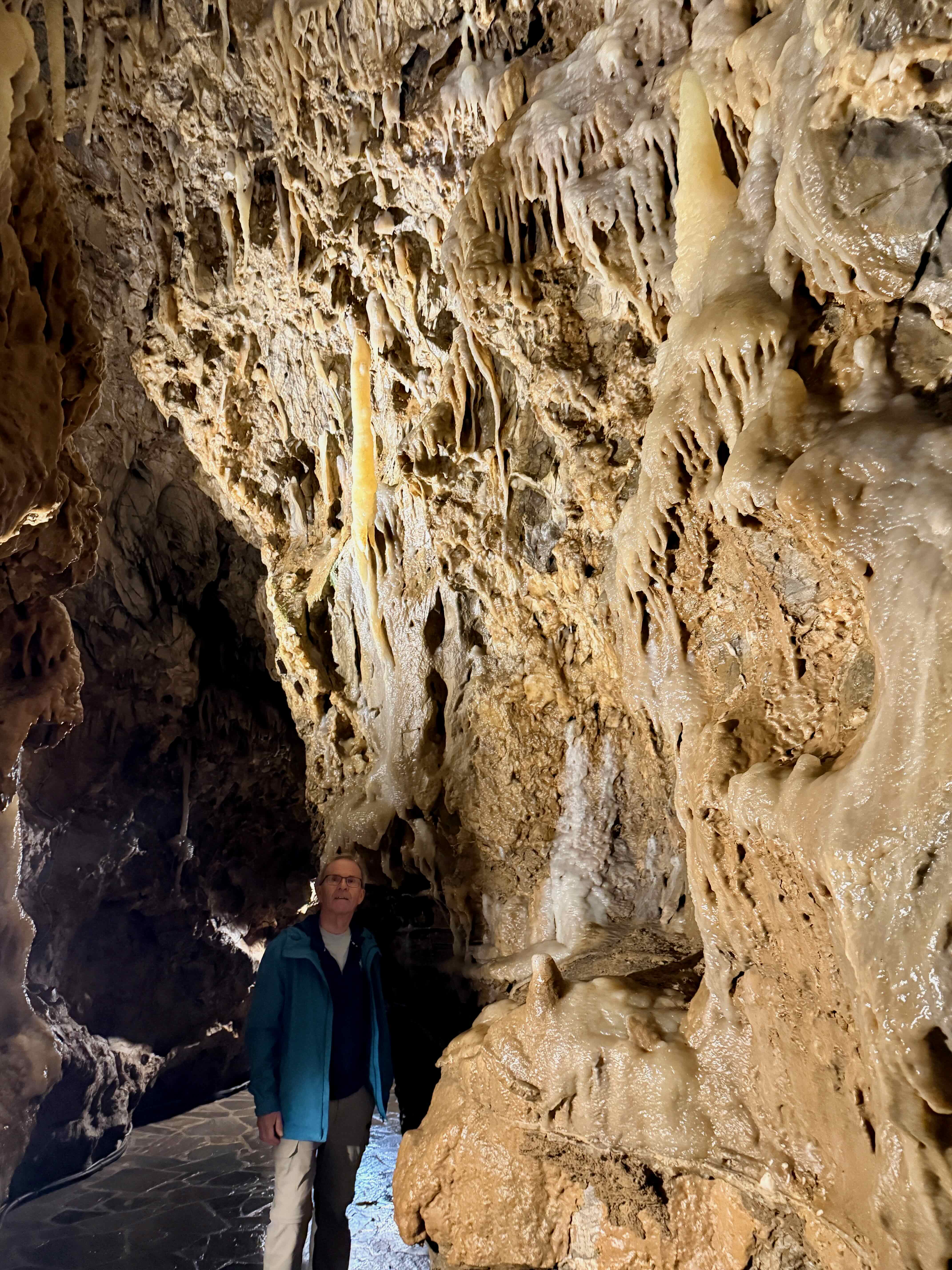 The interesting thing is that this is actually a living cave. There is water dripping from stalactites and landing on stalagmites. It takes centuries for these formations to show appreciable growth…only about 10 centimetres over a thousand years!
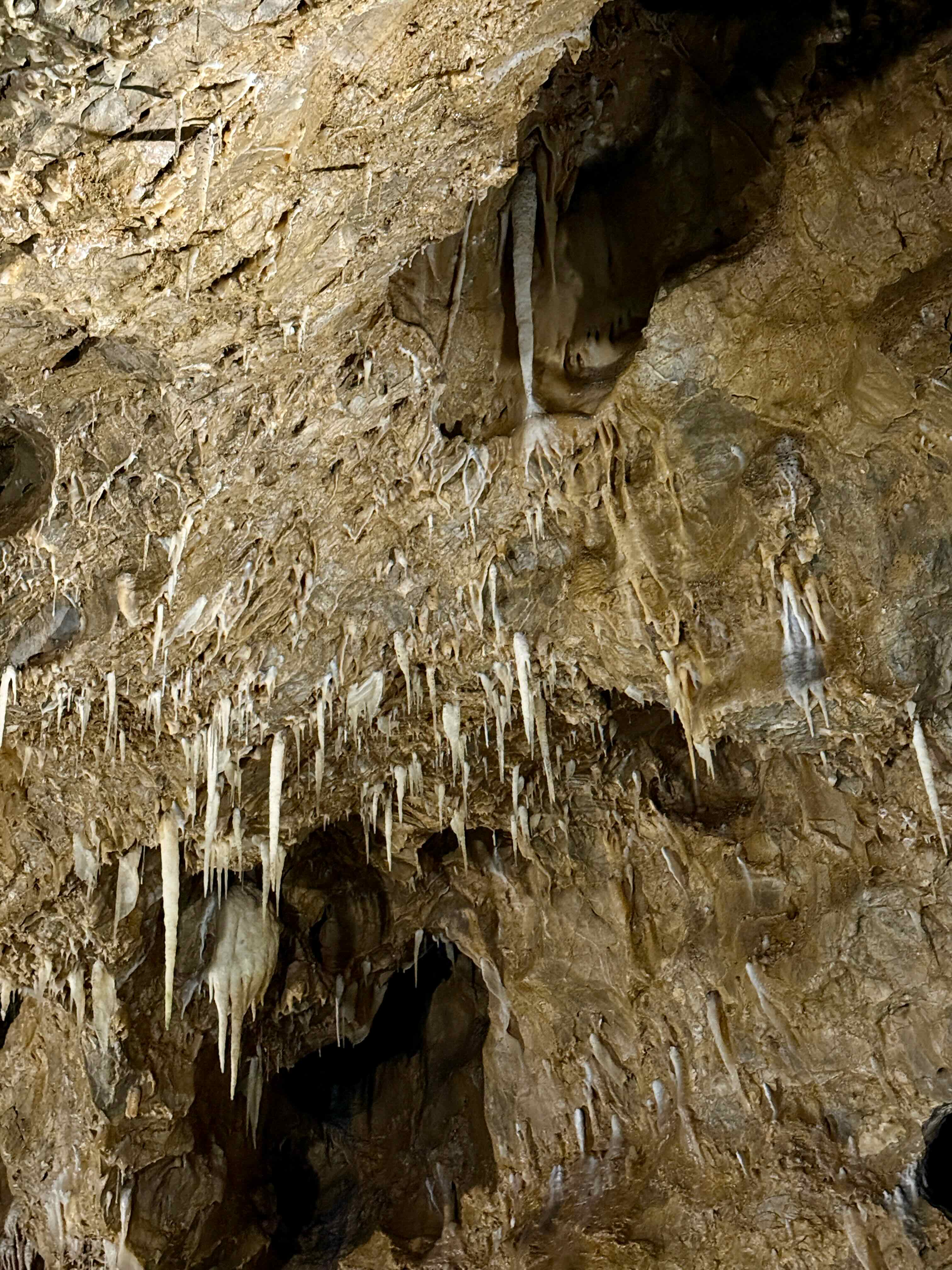 This is the biggest cavern, called the Grande Salle. The railings look like wood but they are actually made of reinforced concrete made to like tree branches.
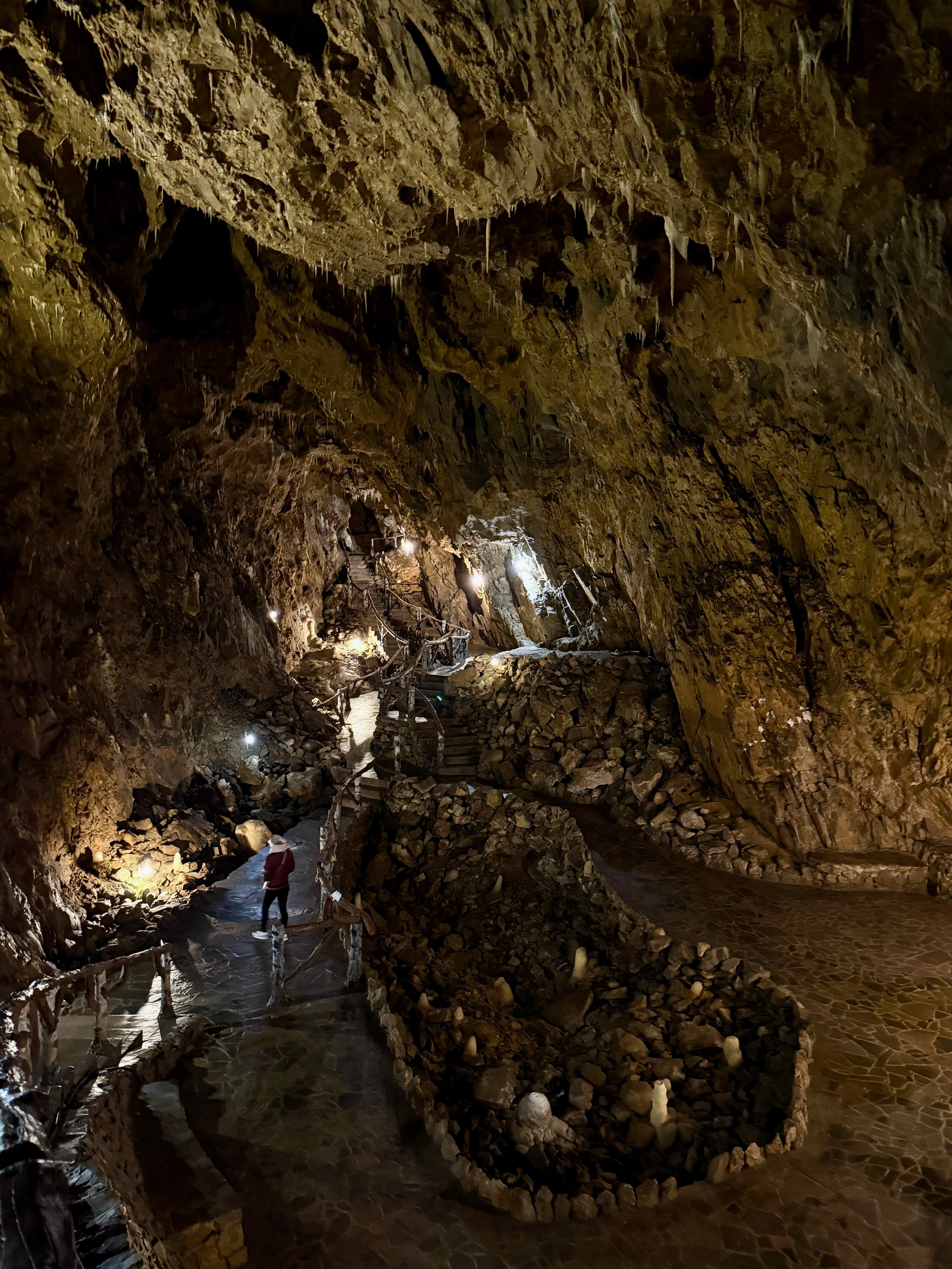
Even with the little bit of light from this small bulb moss starts to grow.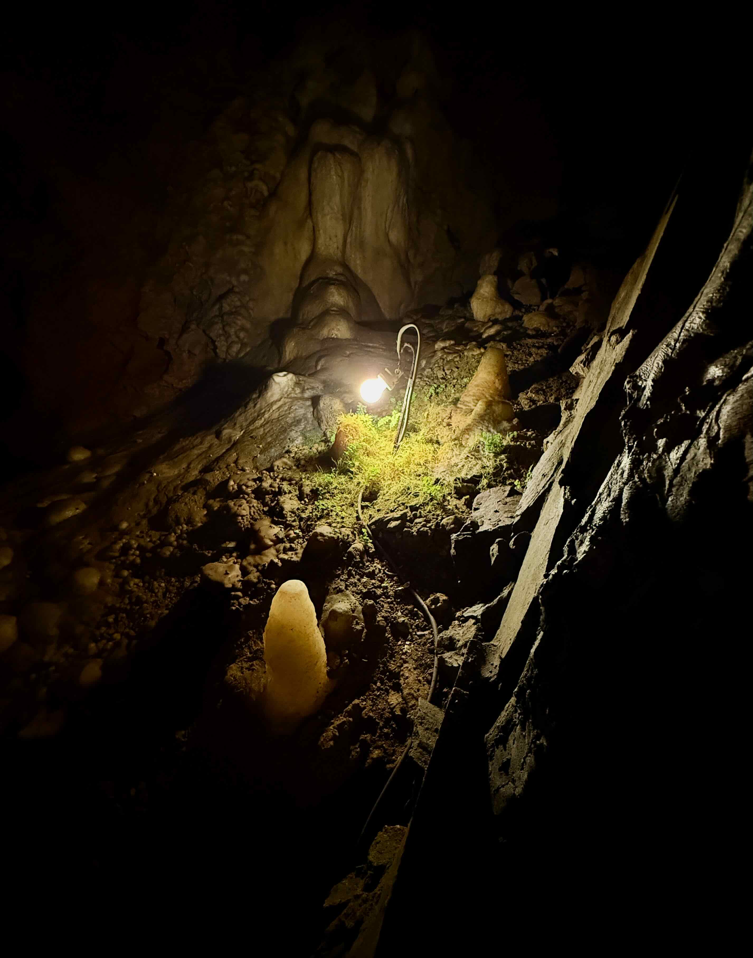
More stalagmites and stalactites.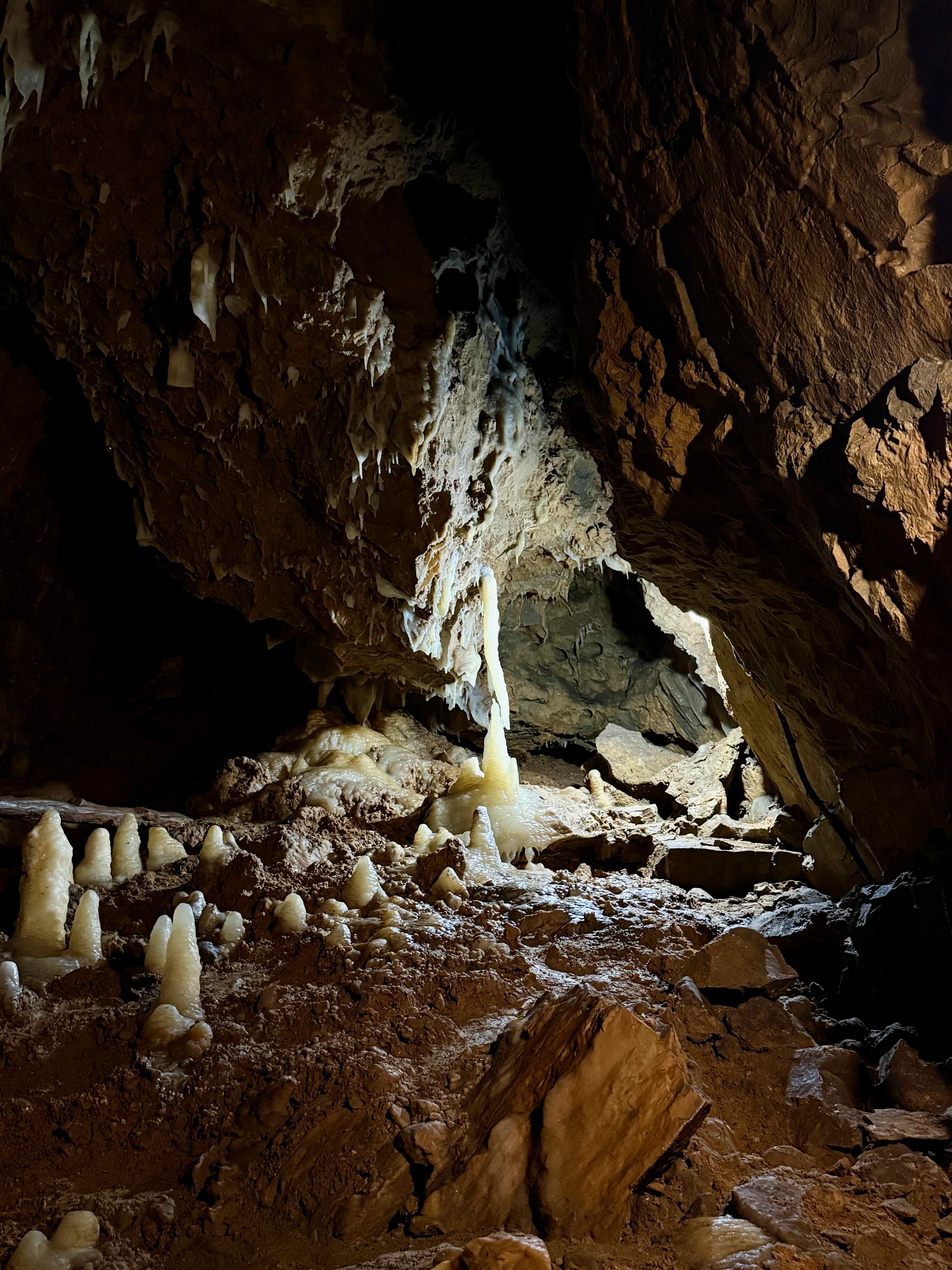
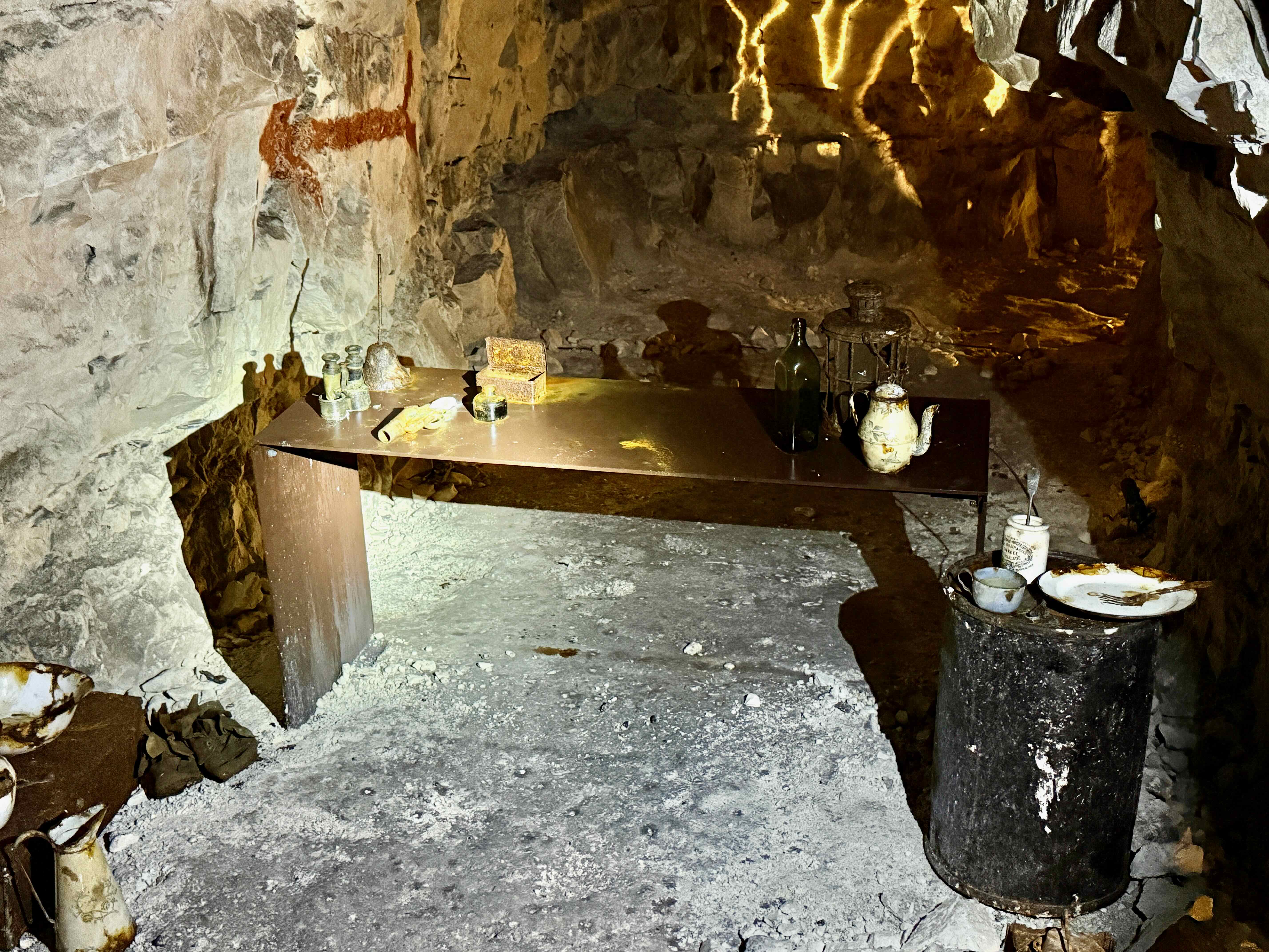
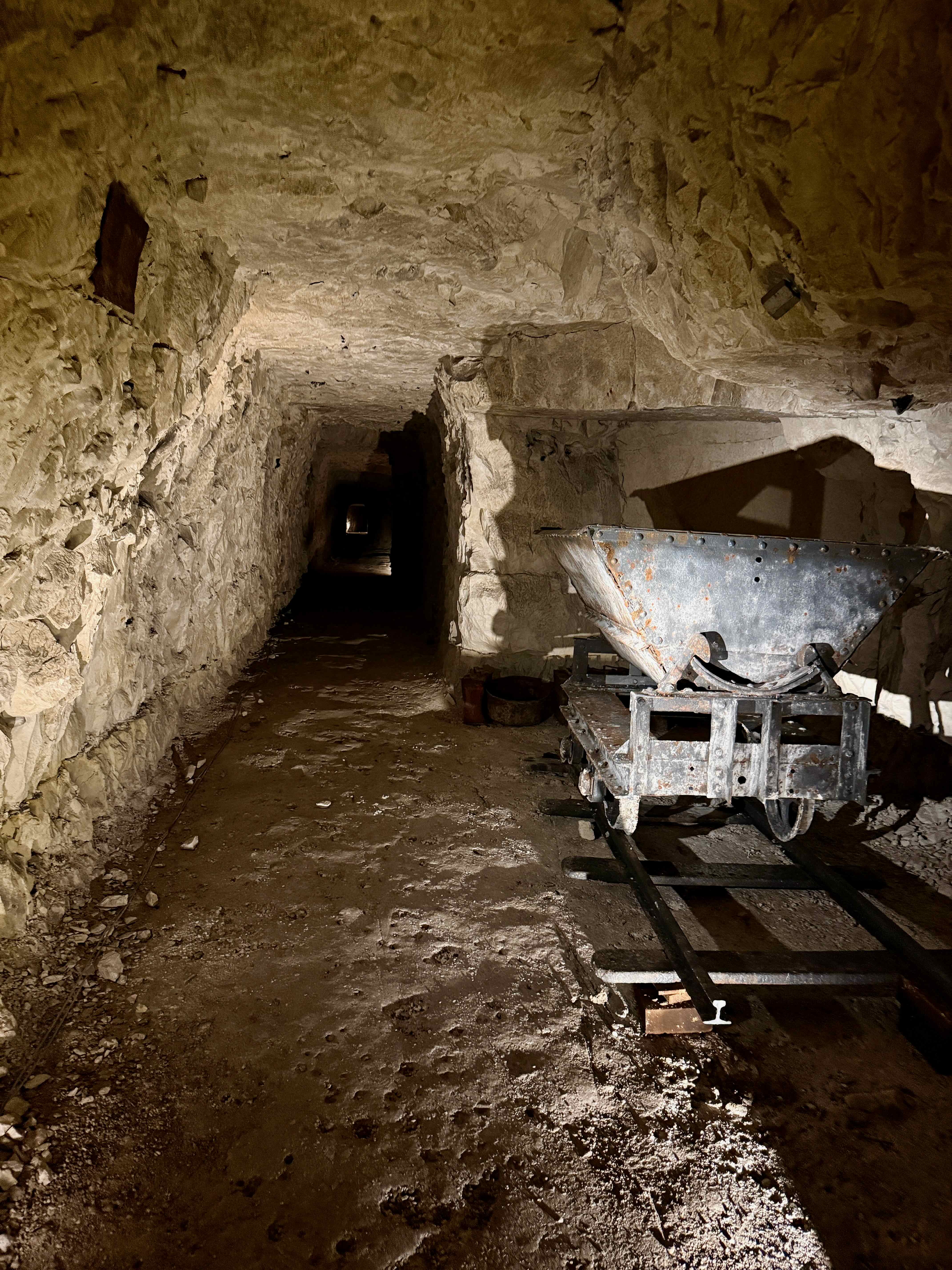
This cave was discovered in 1904 by workmen making a road. They uncovered a small cavern, and reported their find to the land owners. Realizing the tourist potential of this discovery, the owners added electricity and gradually the railings and stairs. In 1934 a long tunnel was constructed that connected the cave to another exit so that visitors did not have to retrace their steps to leave the cave. During the Second World War 300 townspeople hid in this tunnel to escape the Germans. 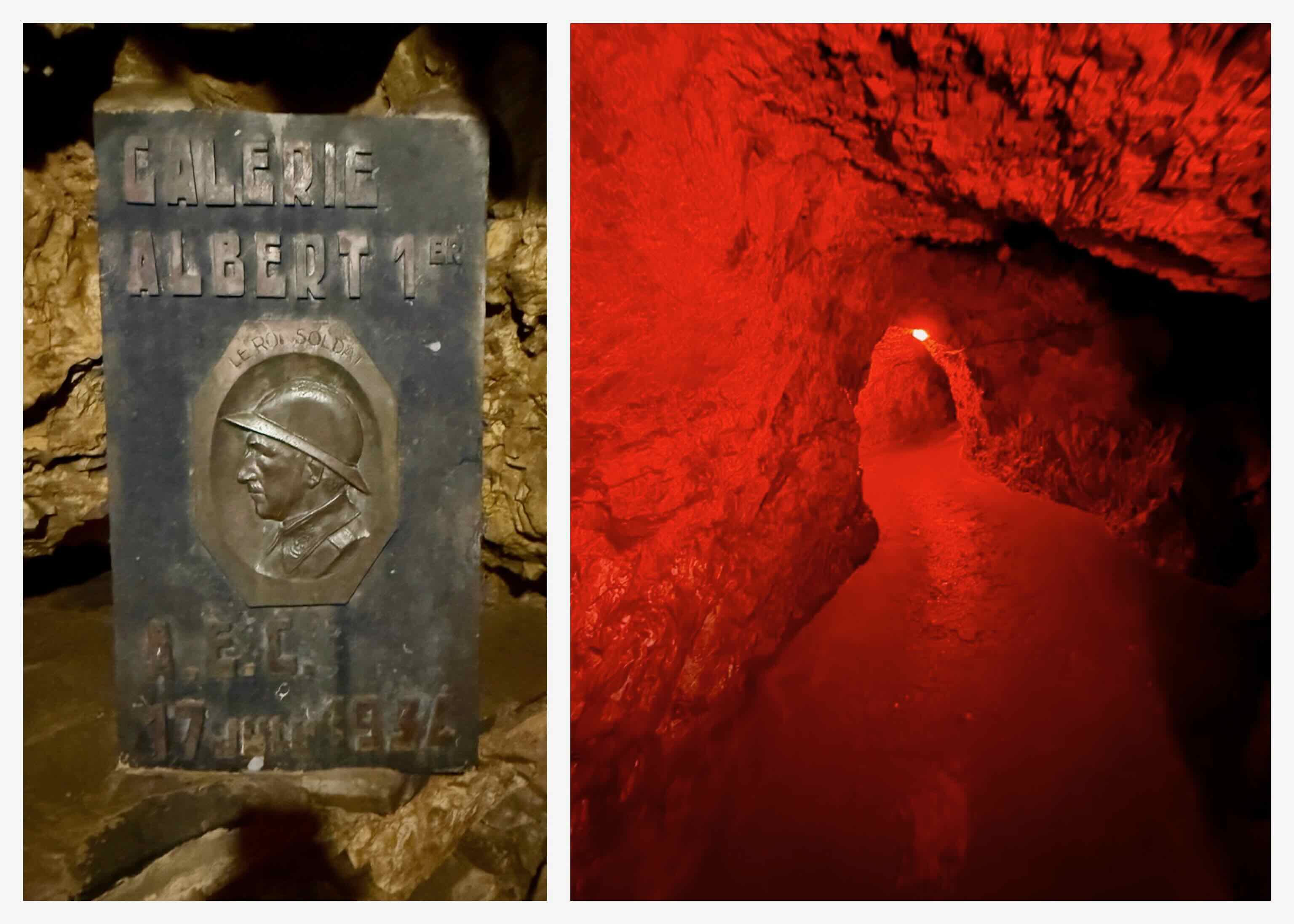 We are 95 meters below the surface!
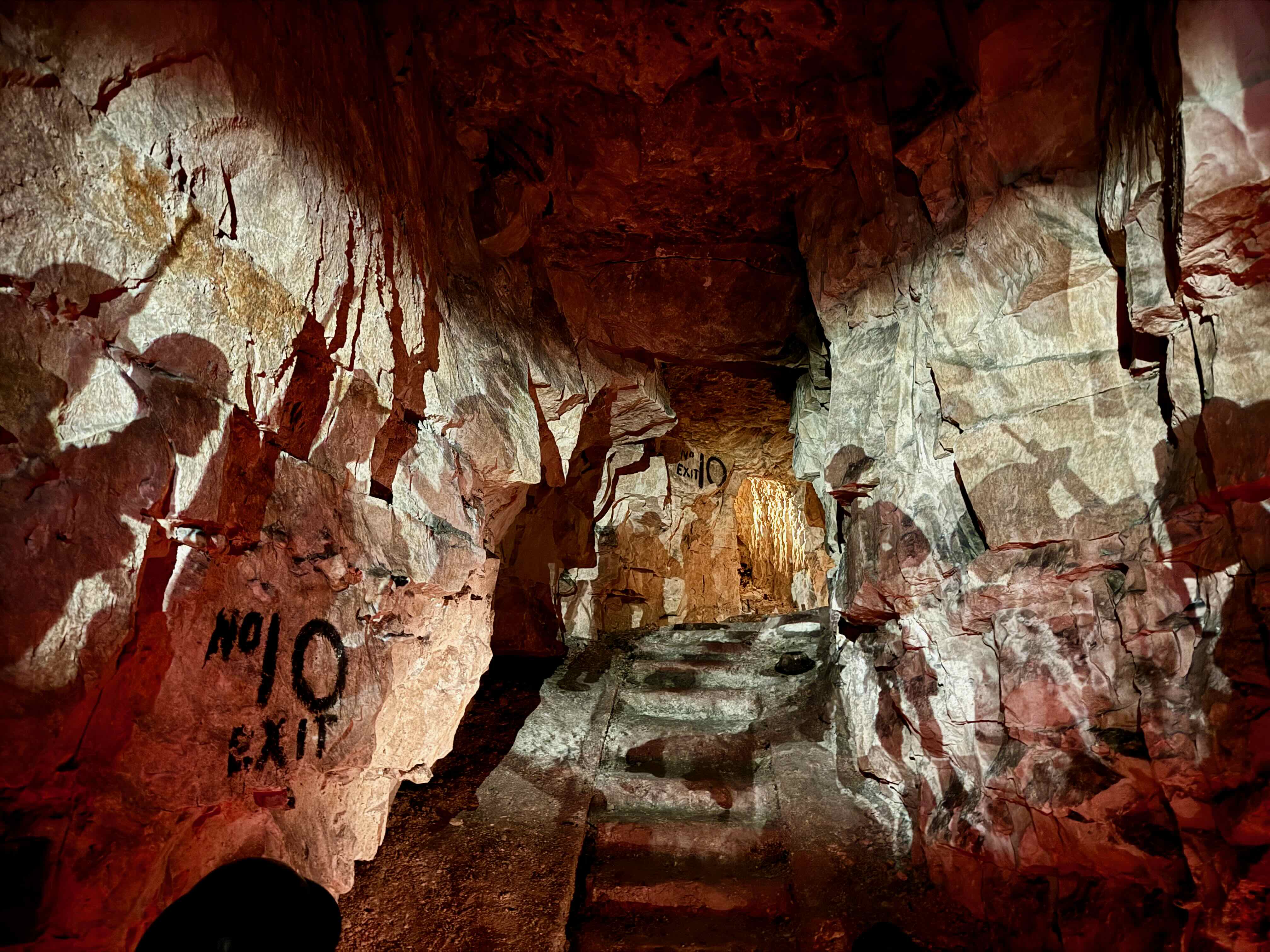
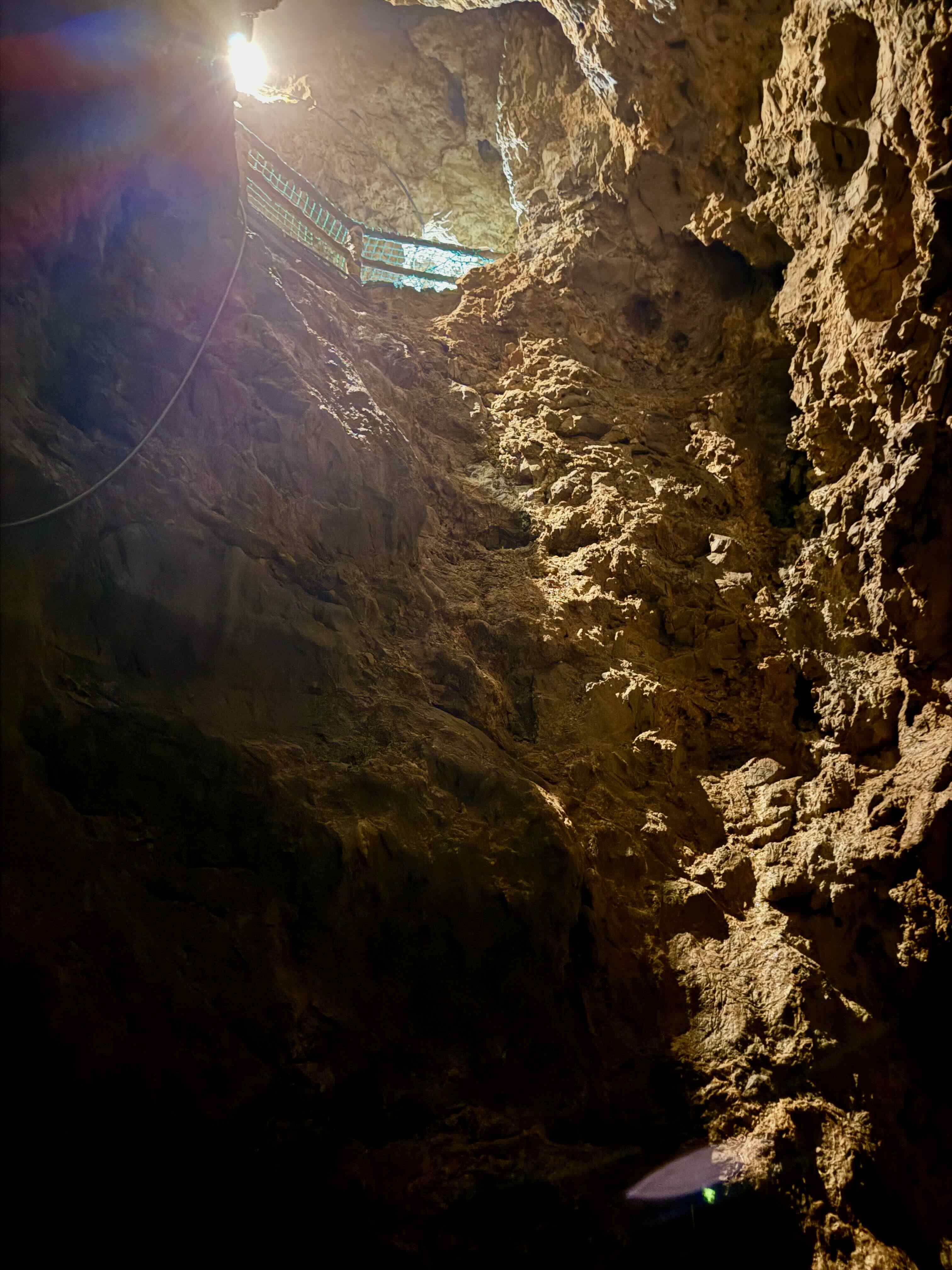 At the end of the tunnel we climbed this long stairway with 120 steps to the exit. There are about 350 stairs to climb on the whole tour along with many long downward sloping walkways. We enjoyed our tour of this cave. It is strange to think that we were so far underground and neither of us felt at all claustrophobic.
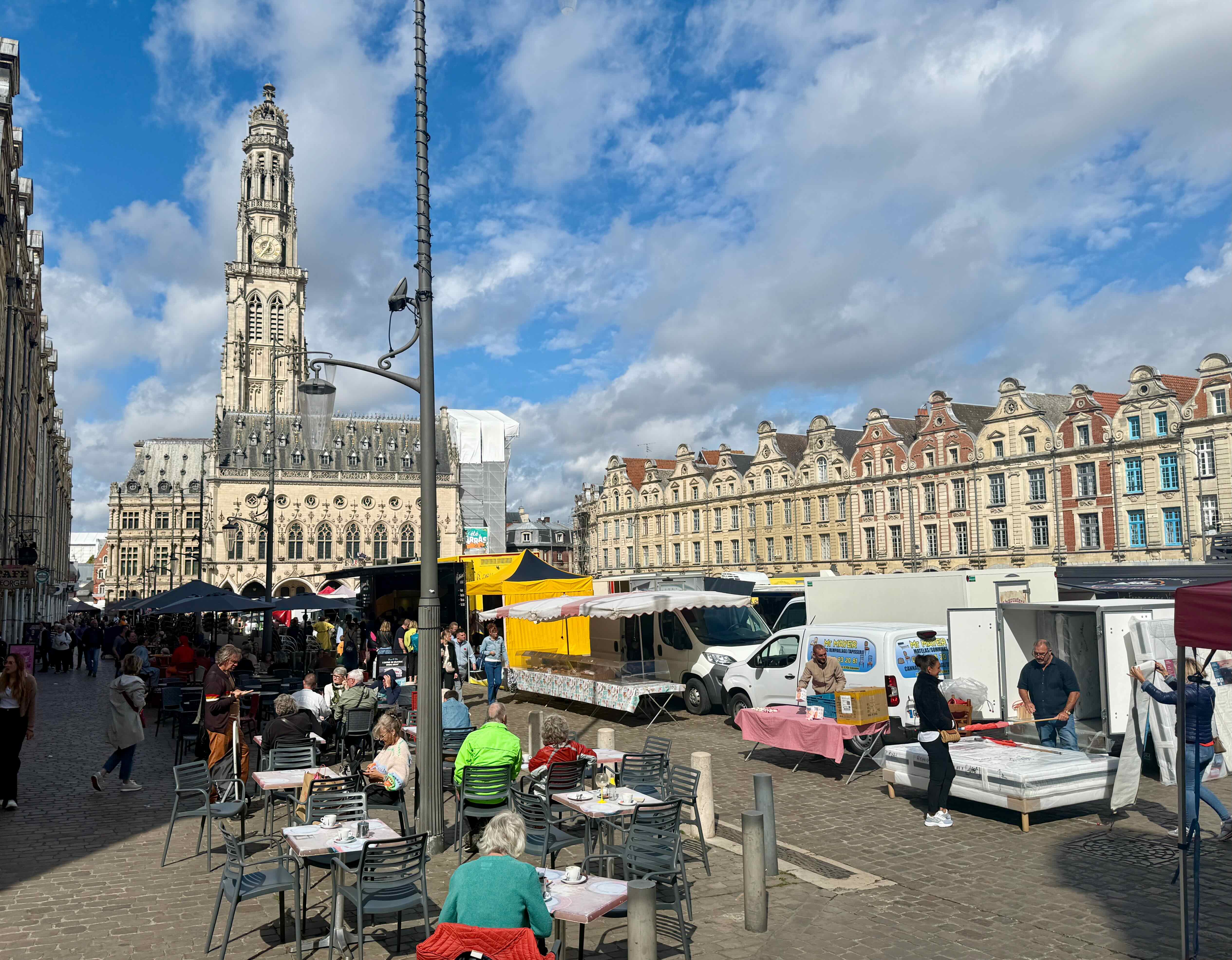
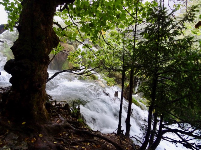
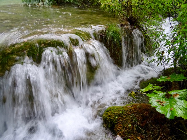
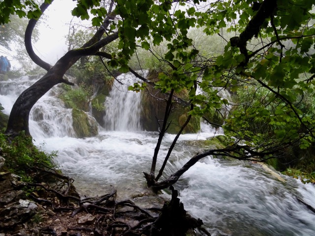
Dinant is an interesting little town, situated along both banks of this river. It is also where Alphonso Sax invented the saxophone in 1840.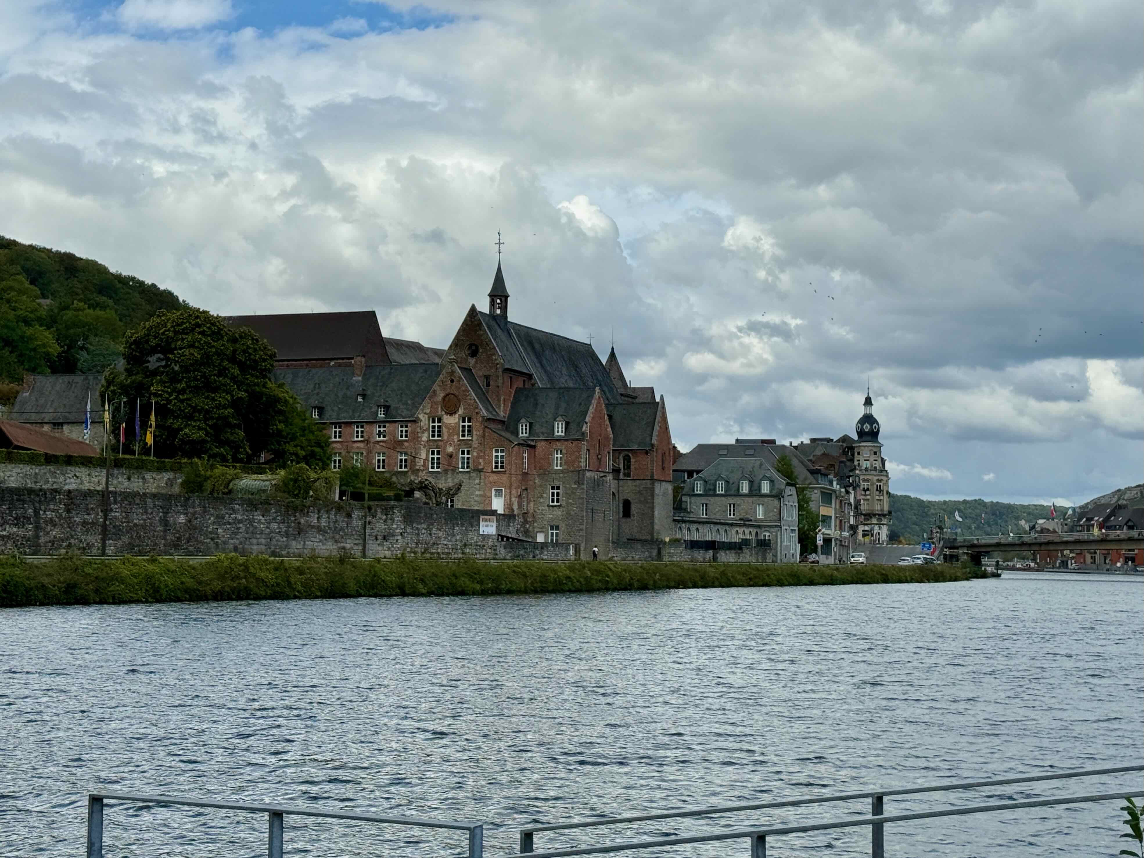
The Citadel high above the town looks interesting but we don’t have time for a visit.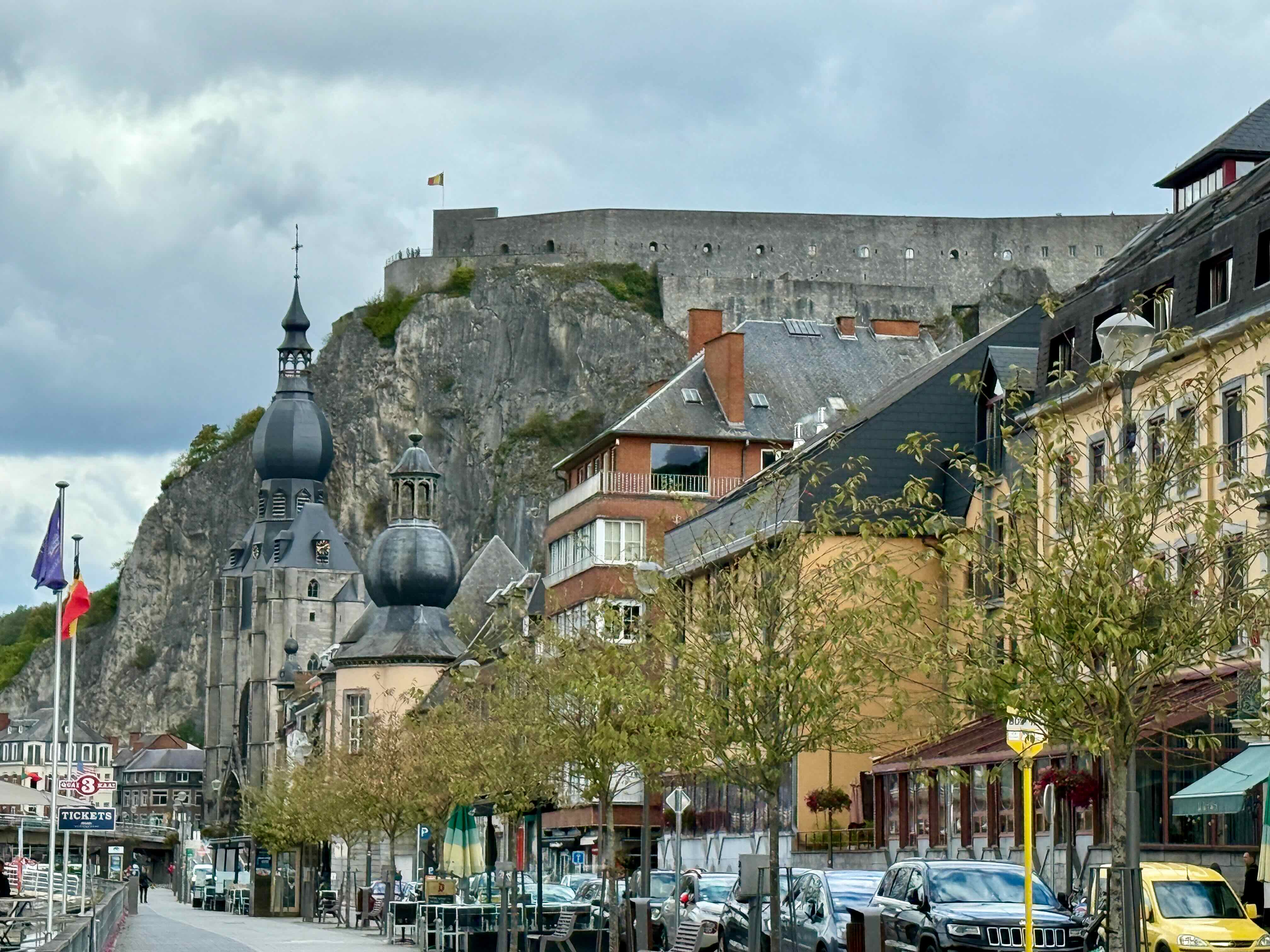 Back on the road headed towards Rocheport.
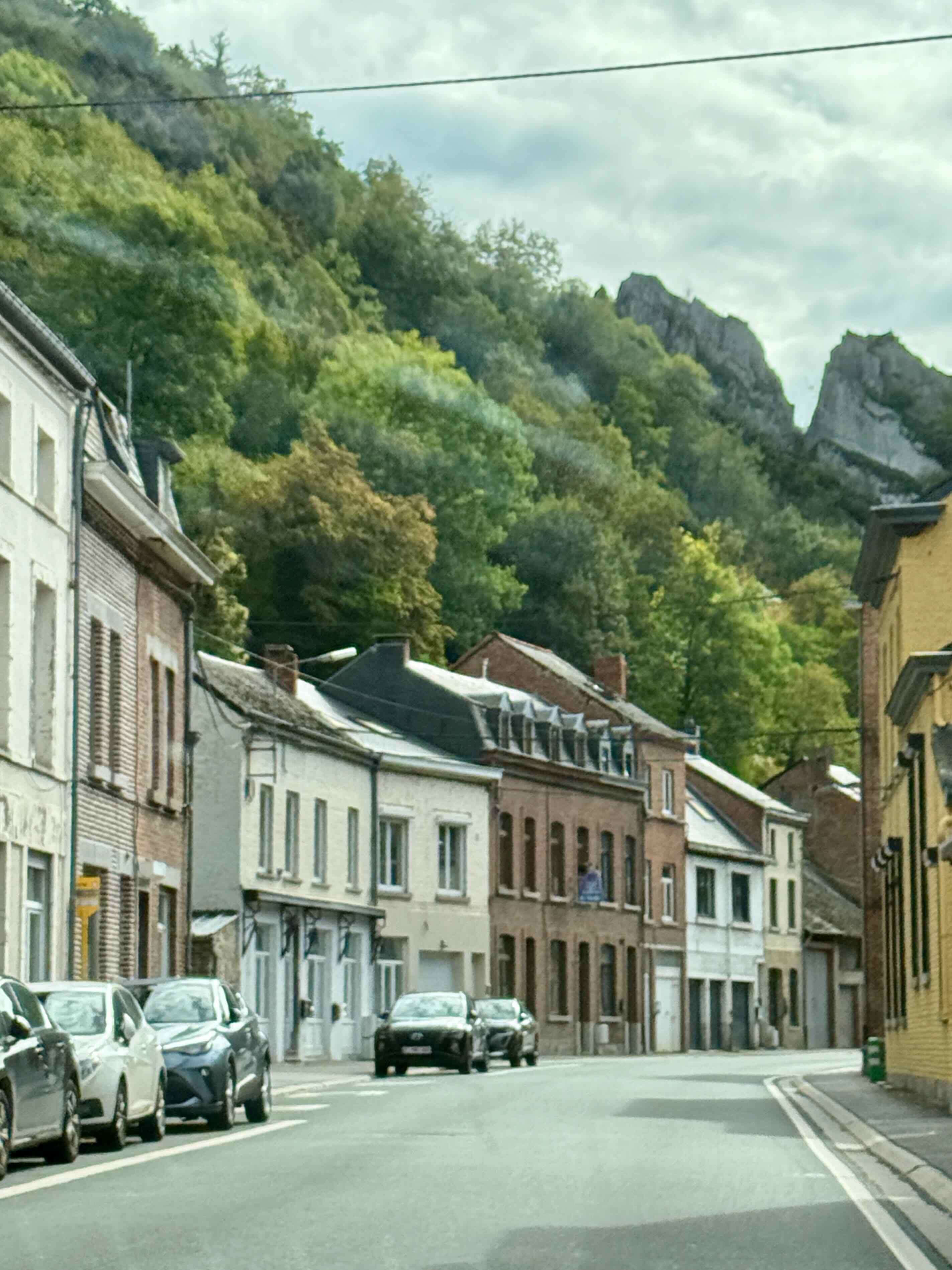
We drive over this pretty bridge and find a spot to park for tea and cookies in Rocheport and then we go for a little walk before heading towards our next Airbnb at Fontoy, France.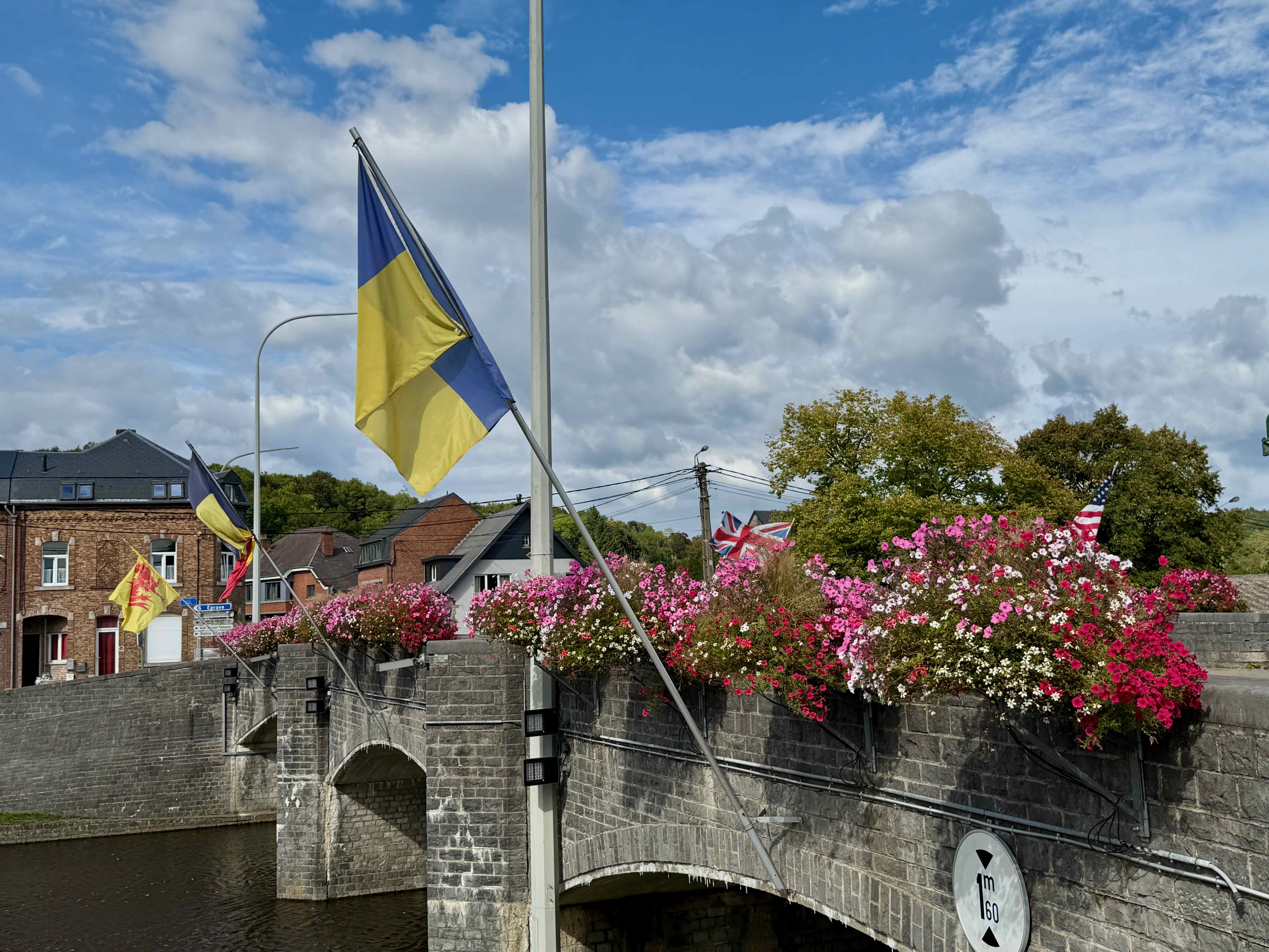
Every town, no matter how small, has a church, but this is the first church I remember seeing that has flower baskets by the entrance door. 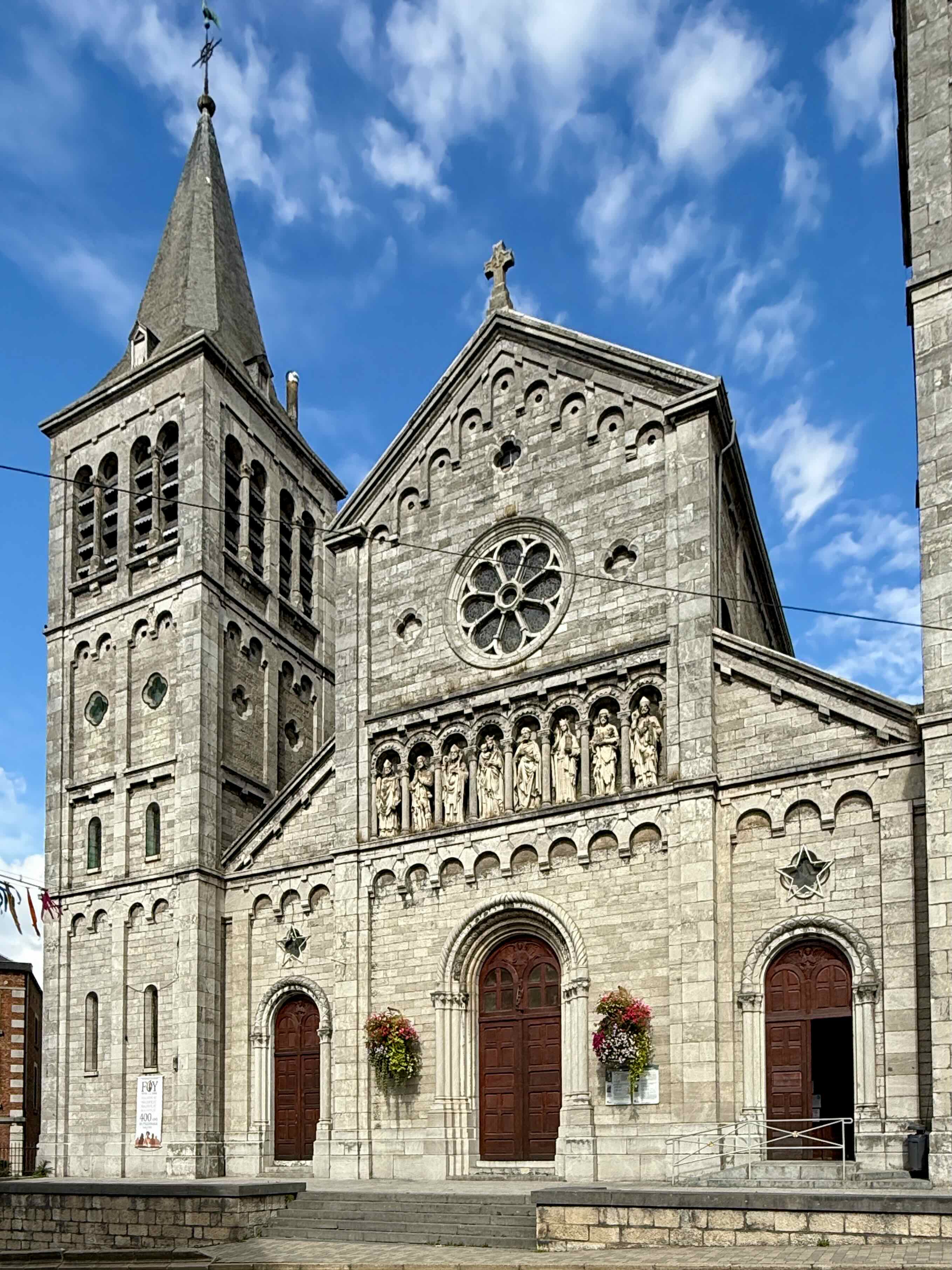
This is a an interesting building. We think it might be a single family dwelling as there is only one house number on the building.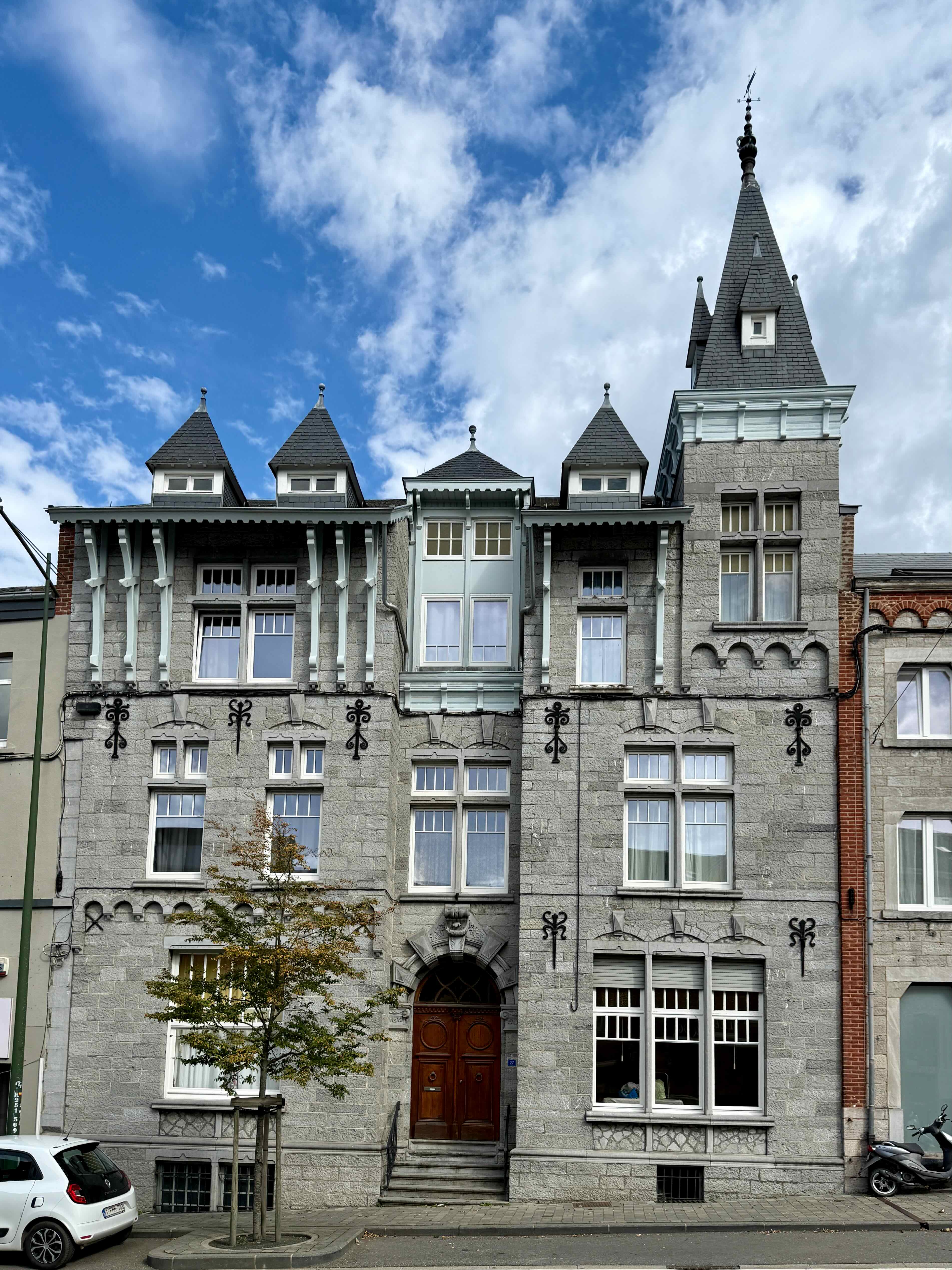
This strange statue is of a popular Belgium comedian, Raymond Devos (1922 – 2006) who is supposed to be popping out of a box, like a Jack in the box. I thought that he had his feet in a cement block, like gansters used!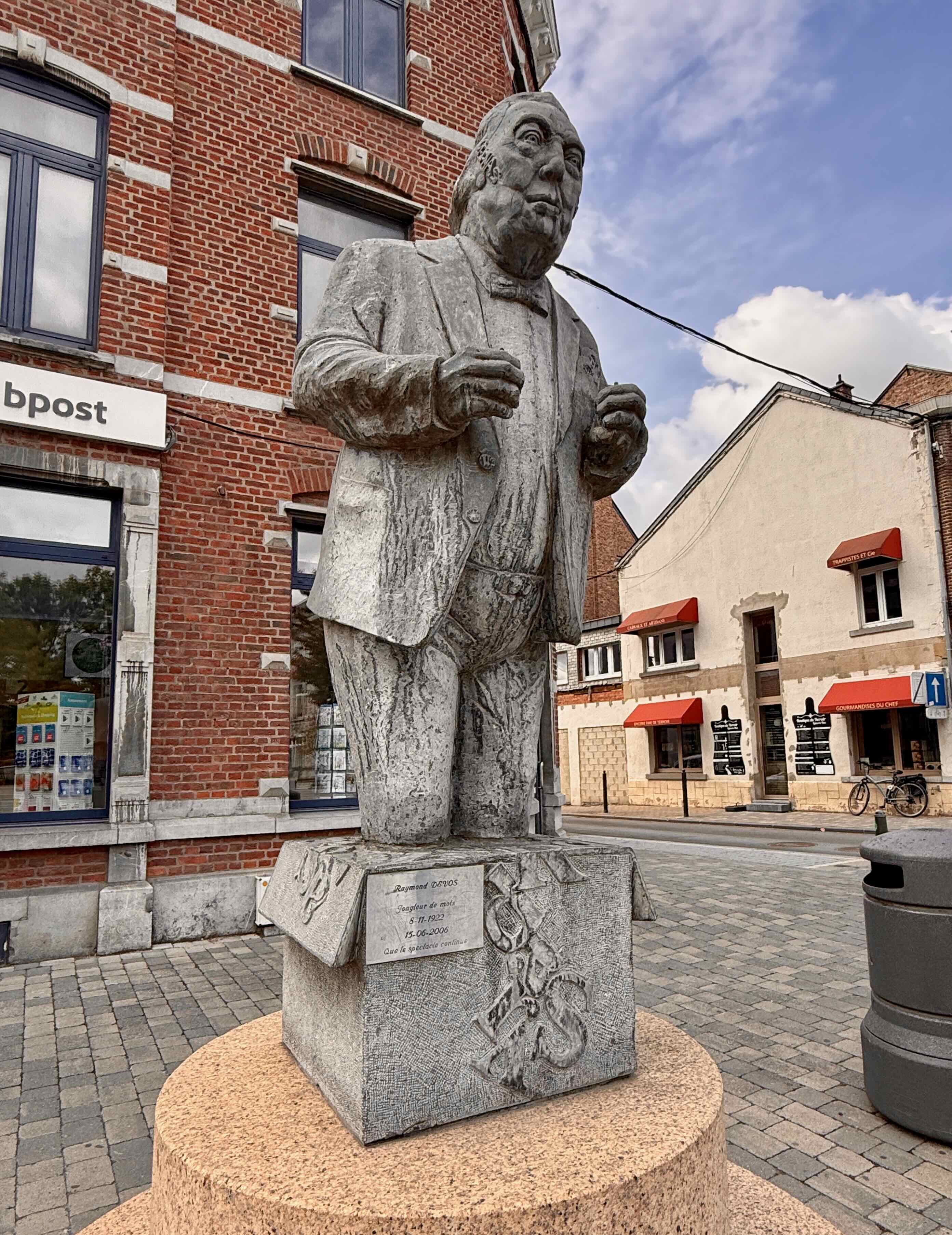
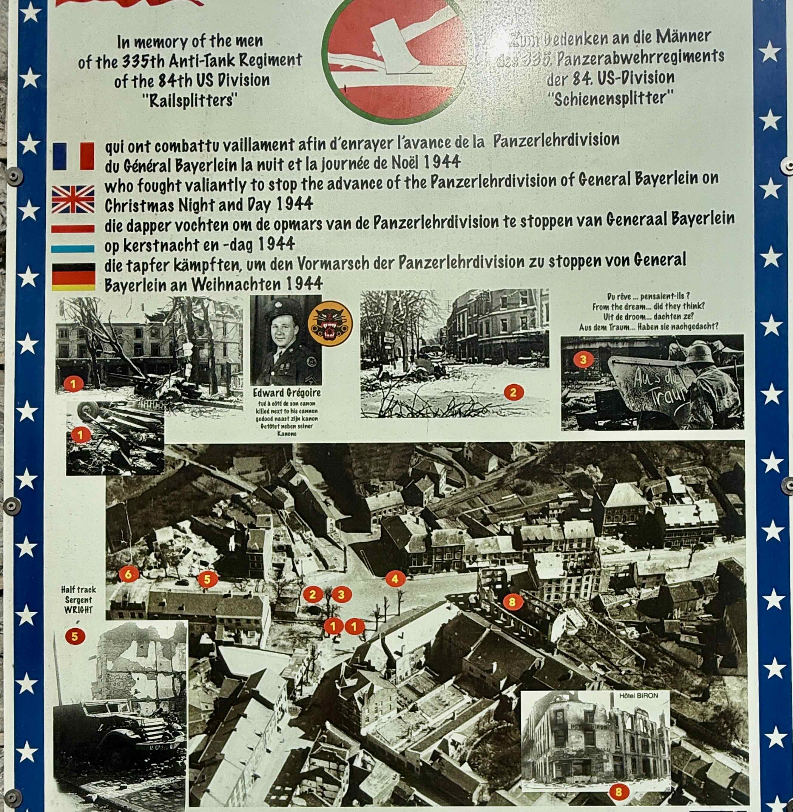
I liked the flowers at this intersection but then we see the poster below showing the damage to this area on Christmas Day 1944.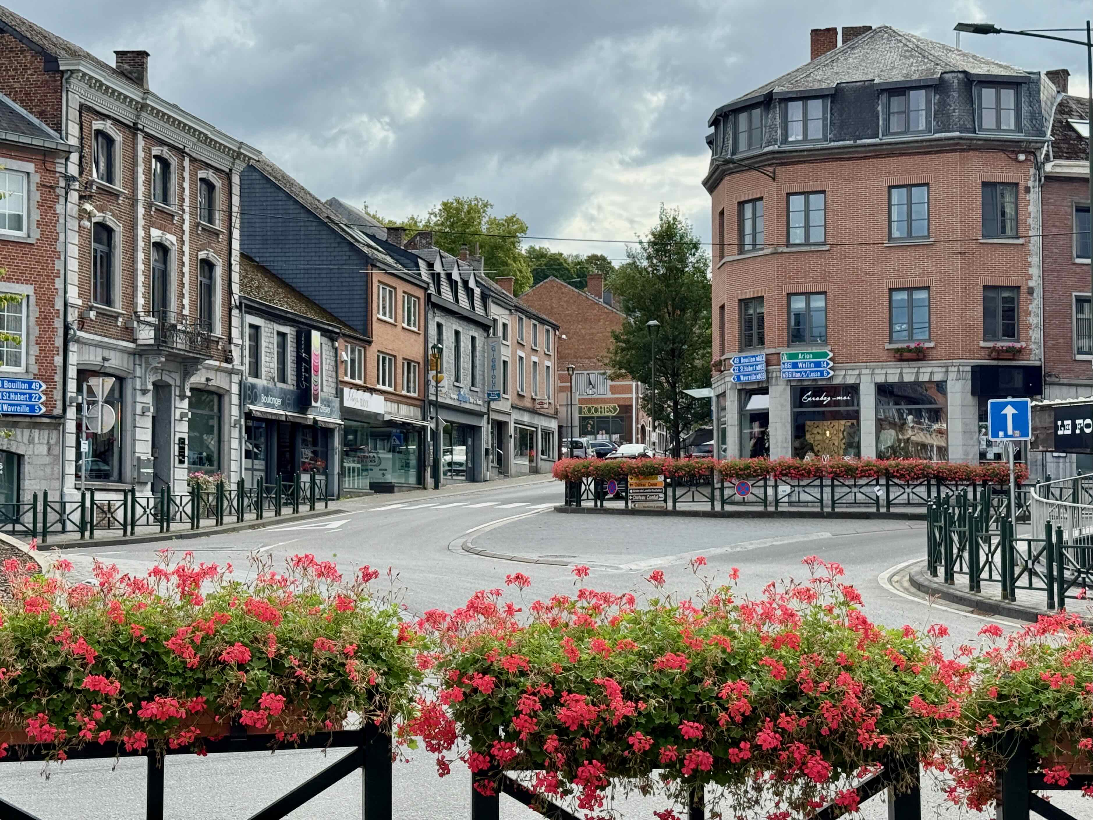
I loved the colours of these leaves.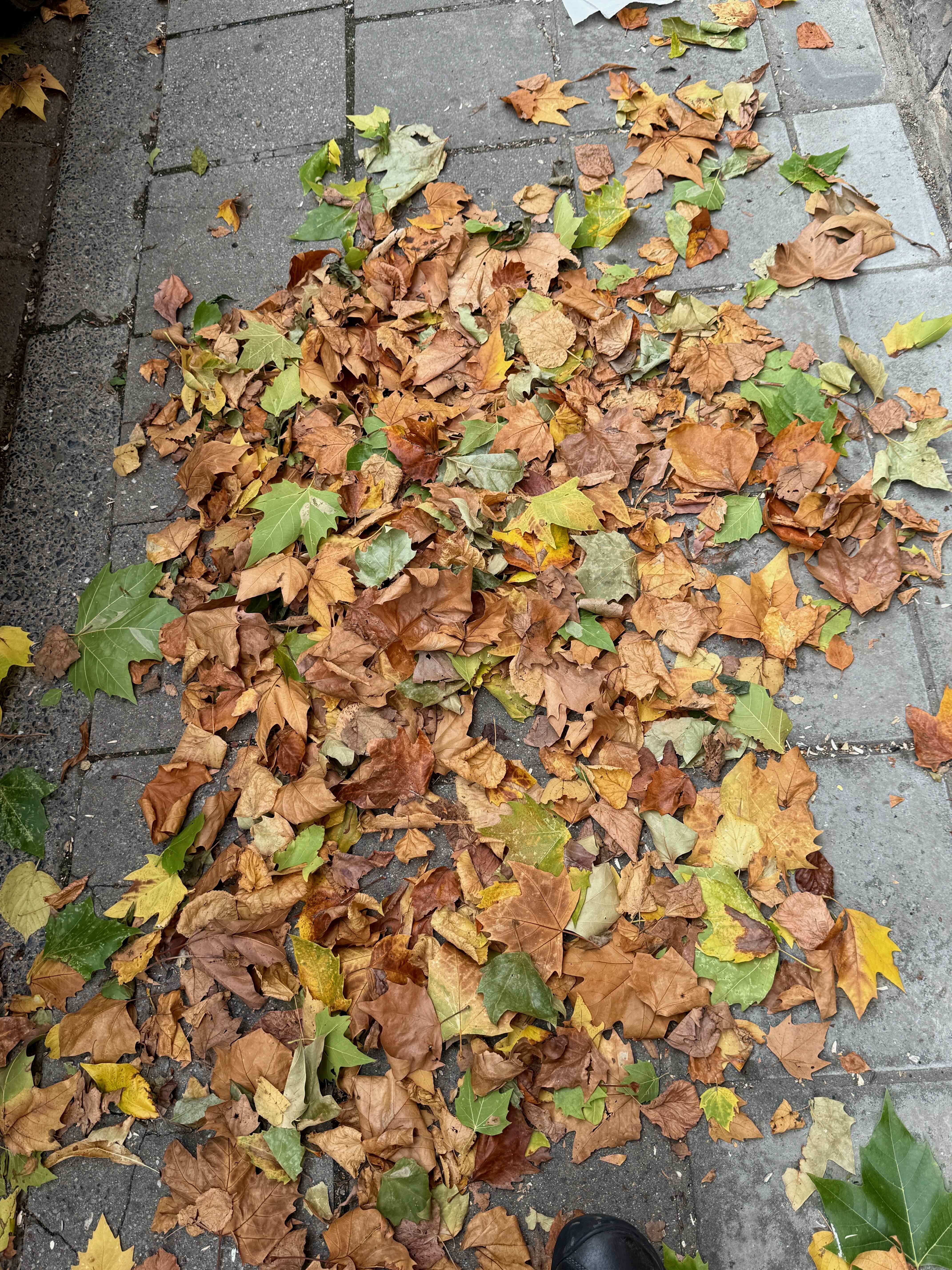 We see a truck with beautiful ochre coloured sand and then peek inside this building under renovation to see what it is being used for. Not exactly a do-it-yourself job!
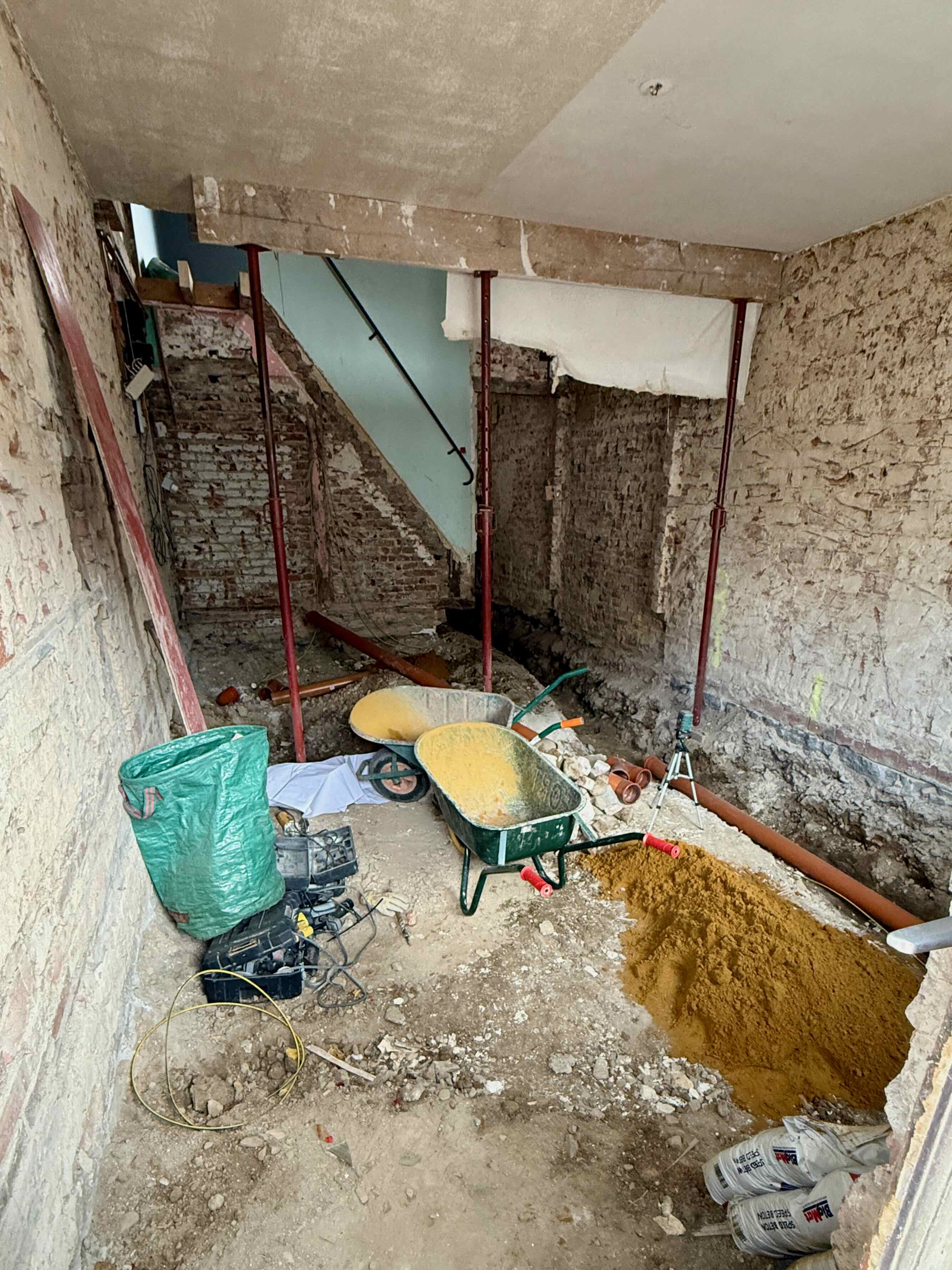 The doorway that we looked into is right next to this house with the gorgeous red geraniums.
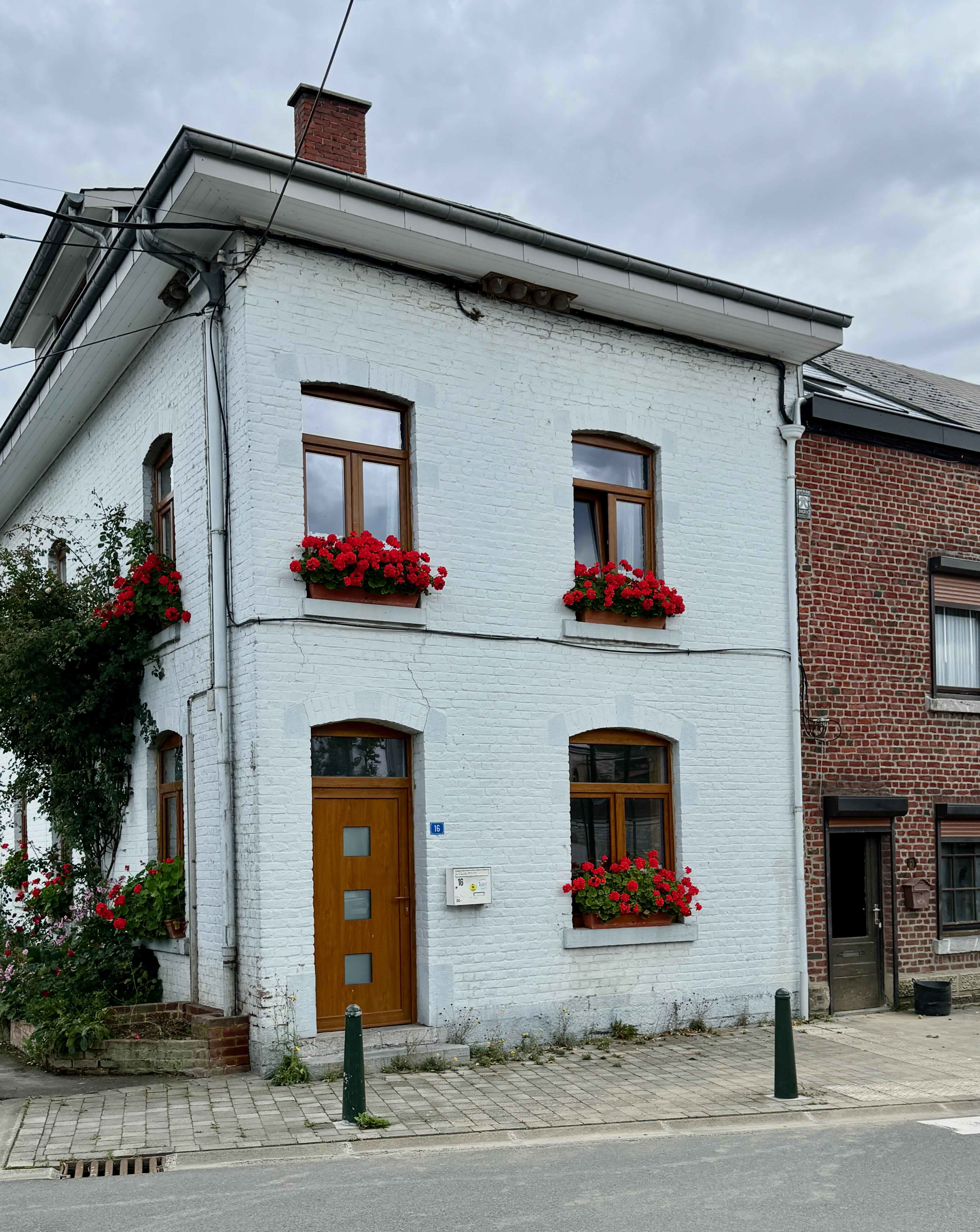
It is rush hour and there are ‘Deviations’ which mean detours and lots of traffic. We count 153 trucks in a row that are not moving at all on the highway. Thankfully they are not going in our direction!
We see these huge crosses along the highway near the end of our trip, but I am unable to find any information about them.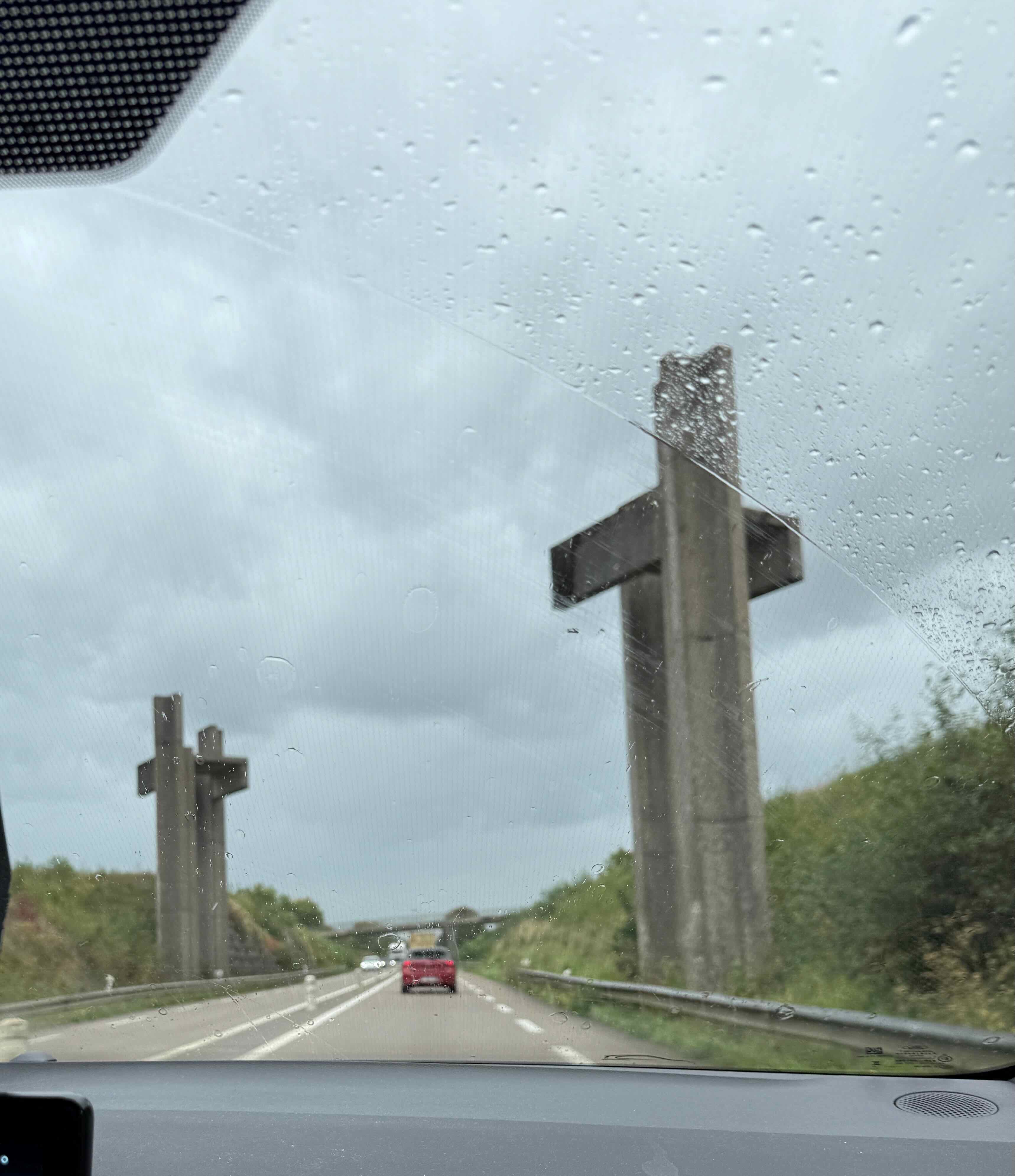


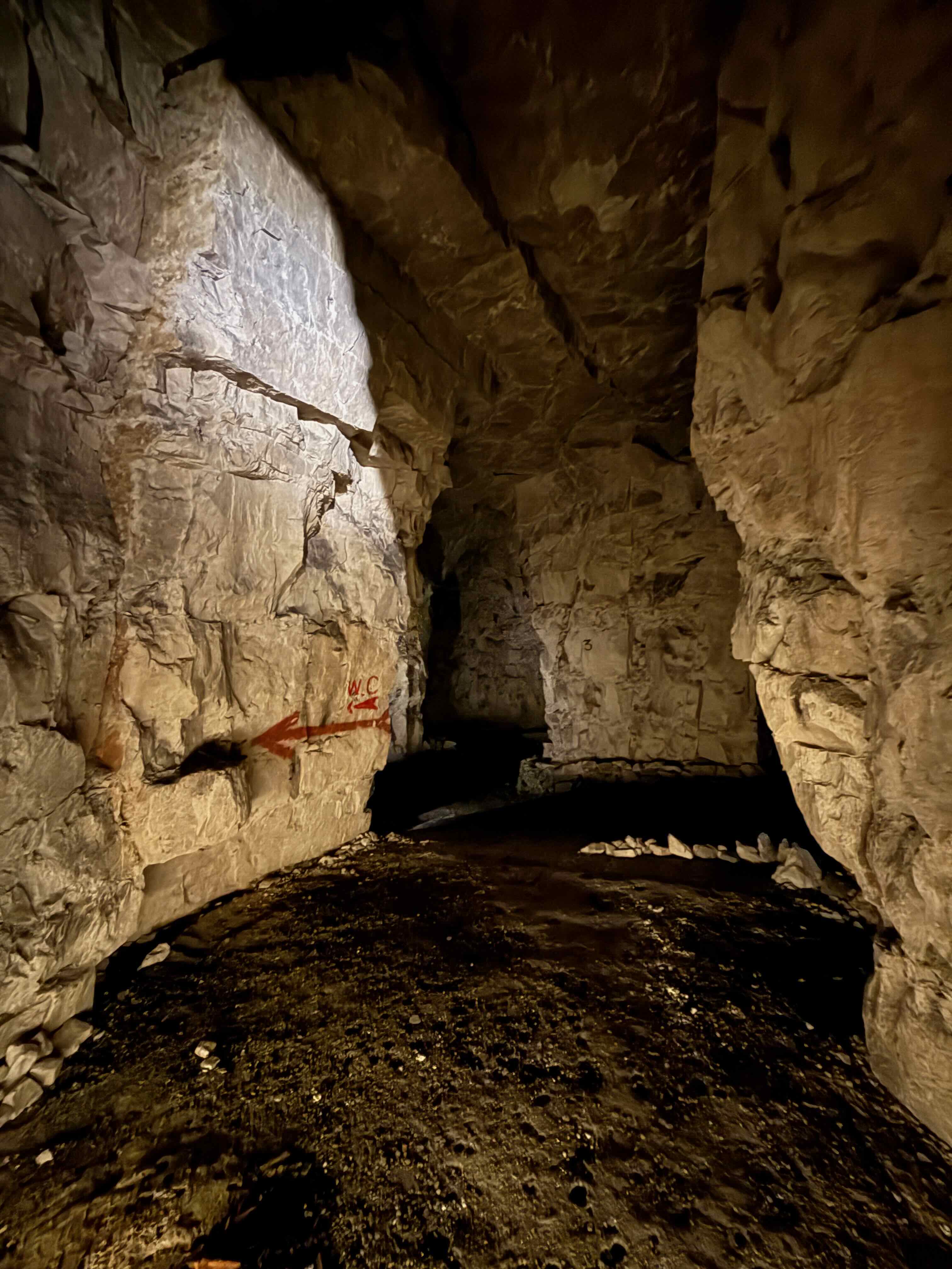
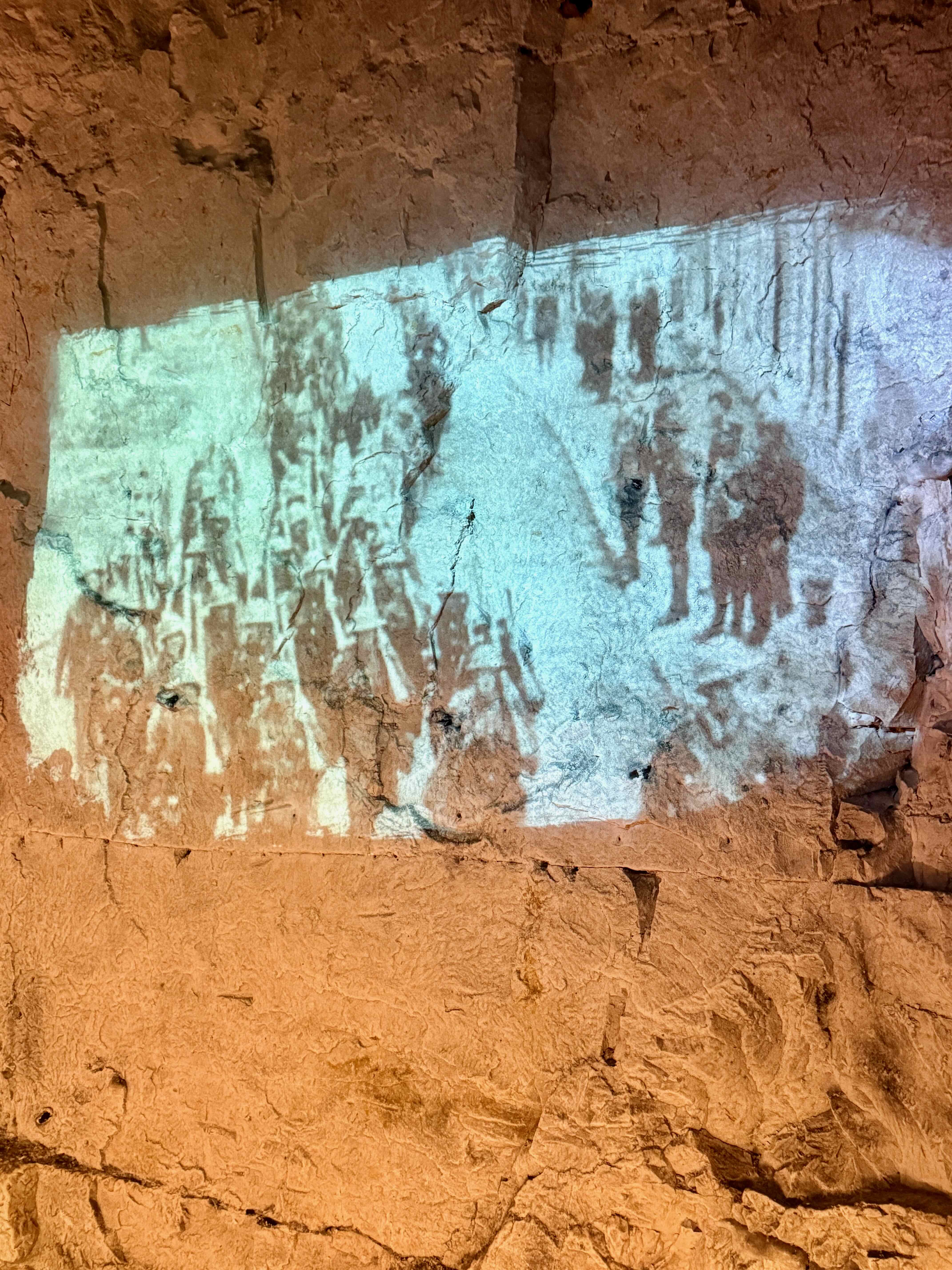
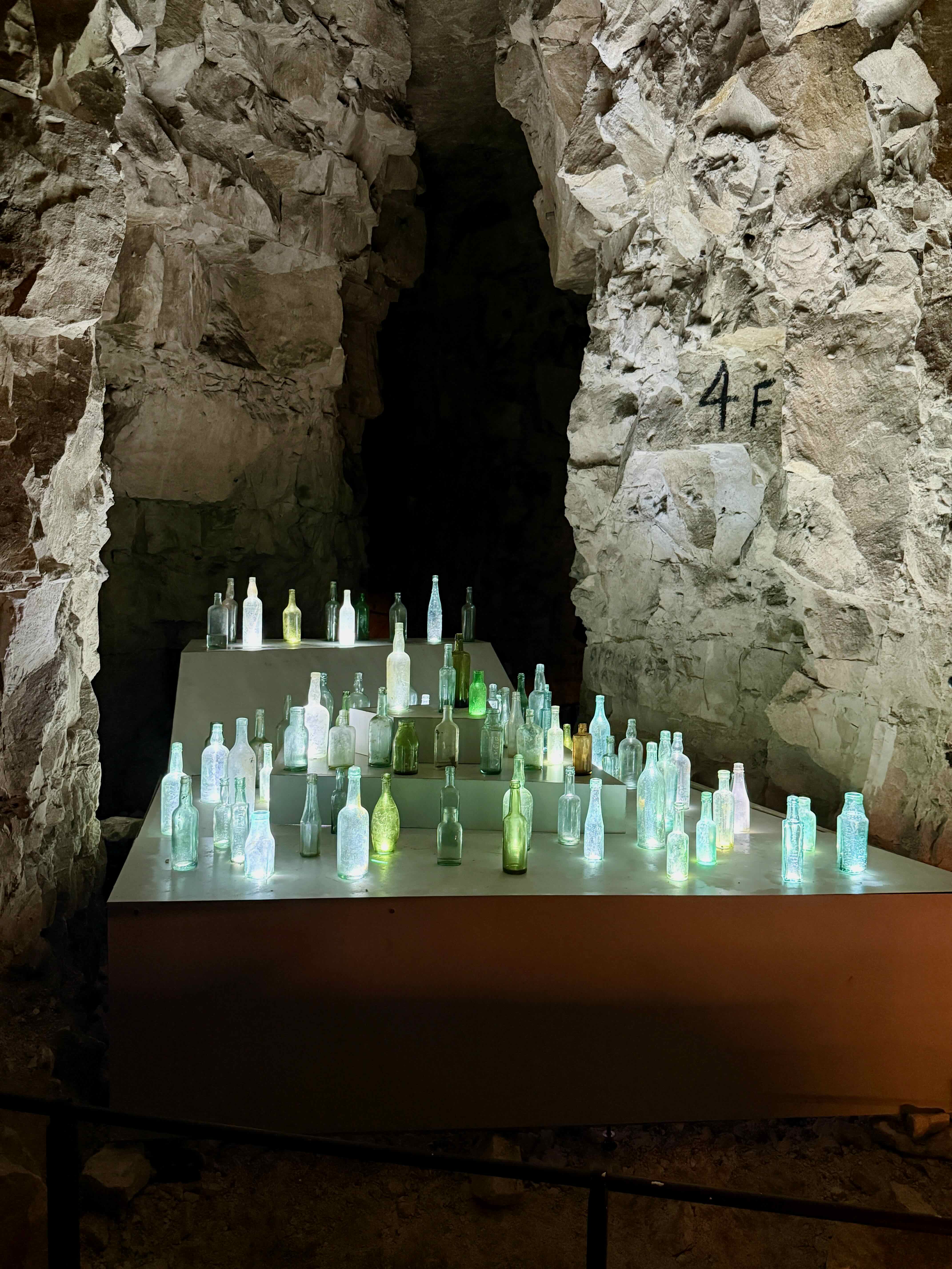
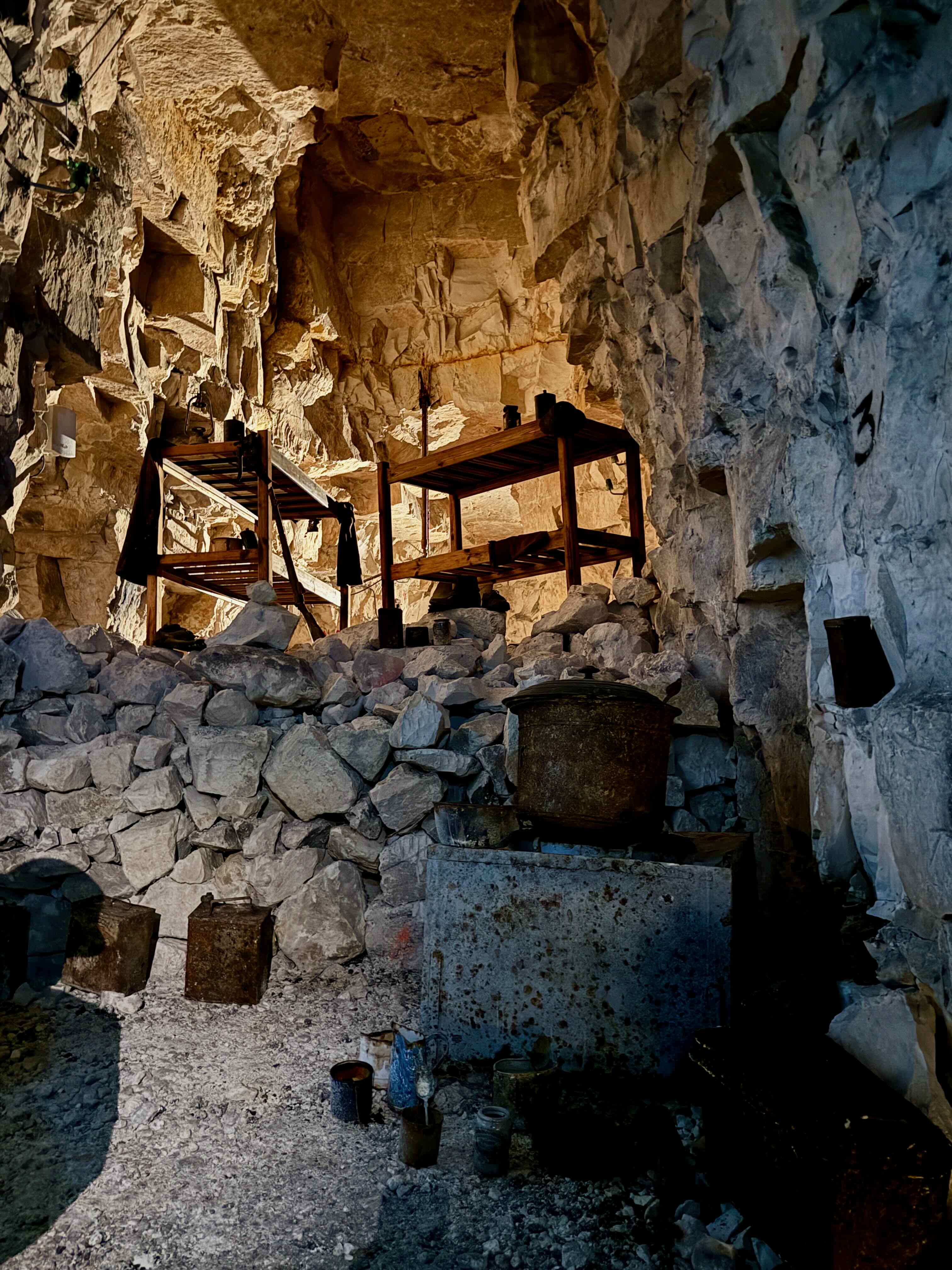
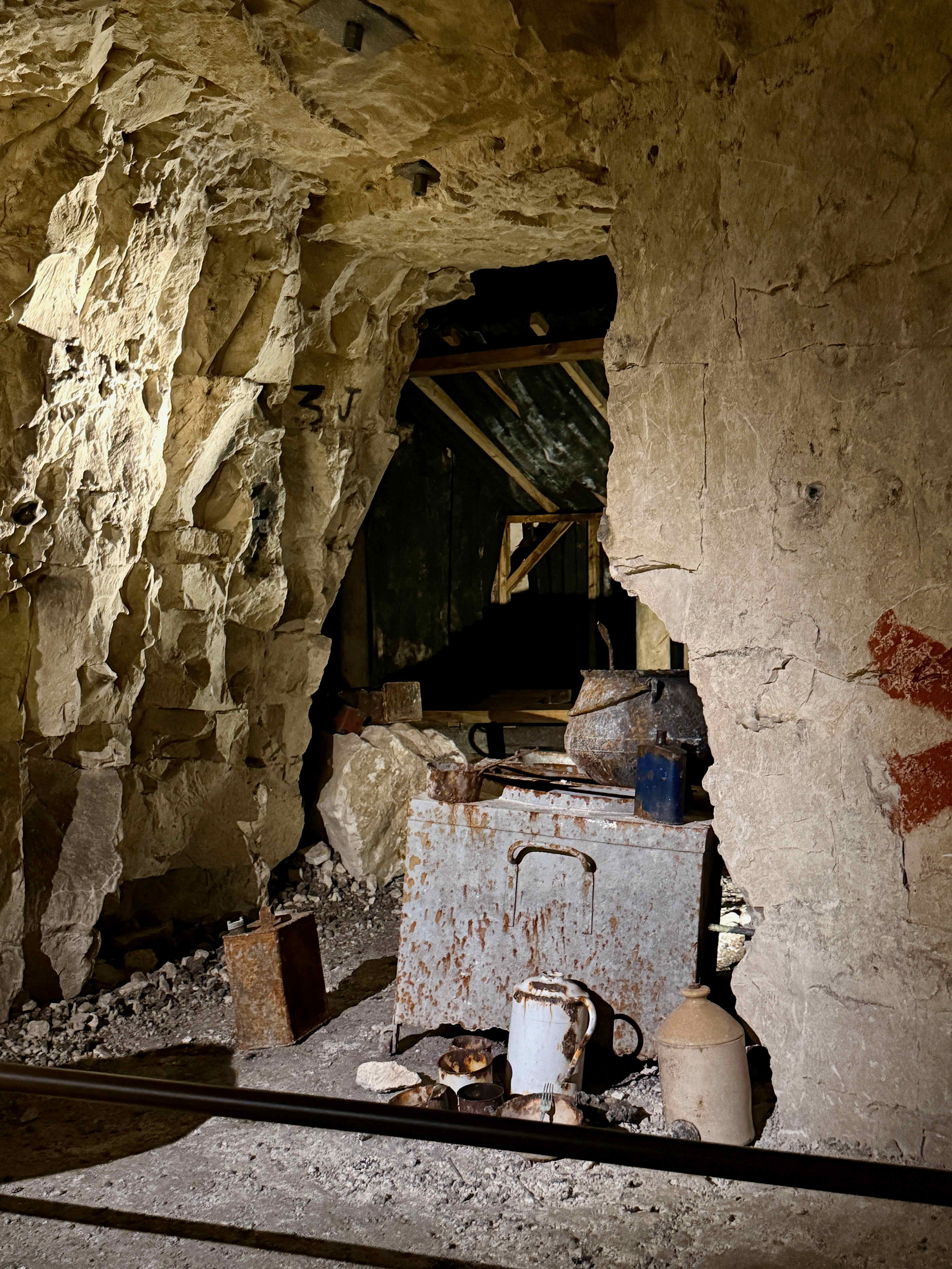
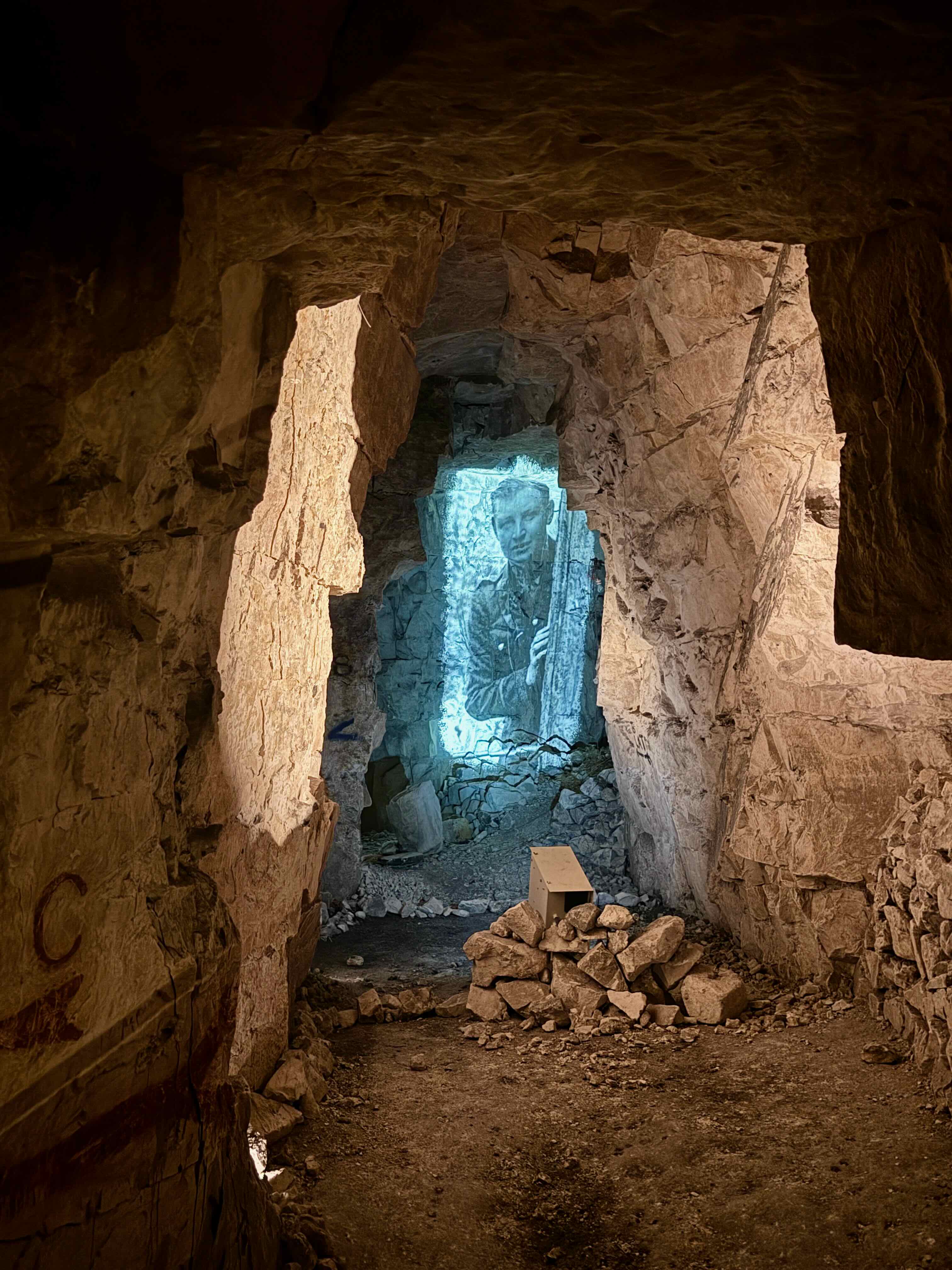 These ancient caves were used as building stone quarries for Arras in Medieval times. They are very large with high ceilings.
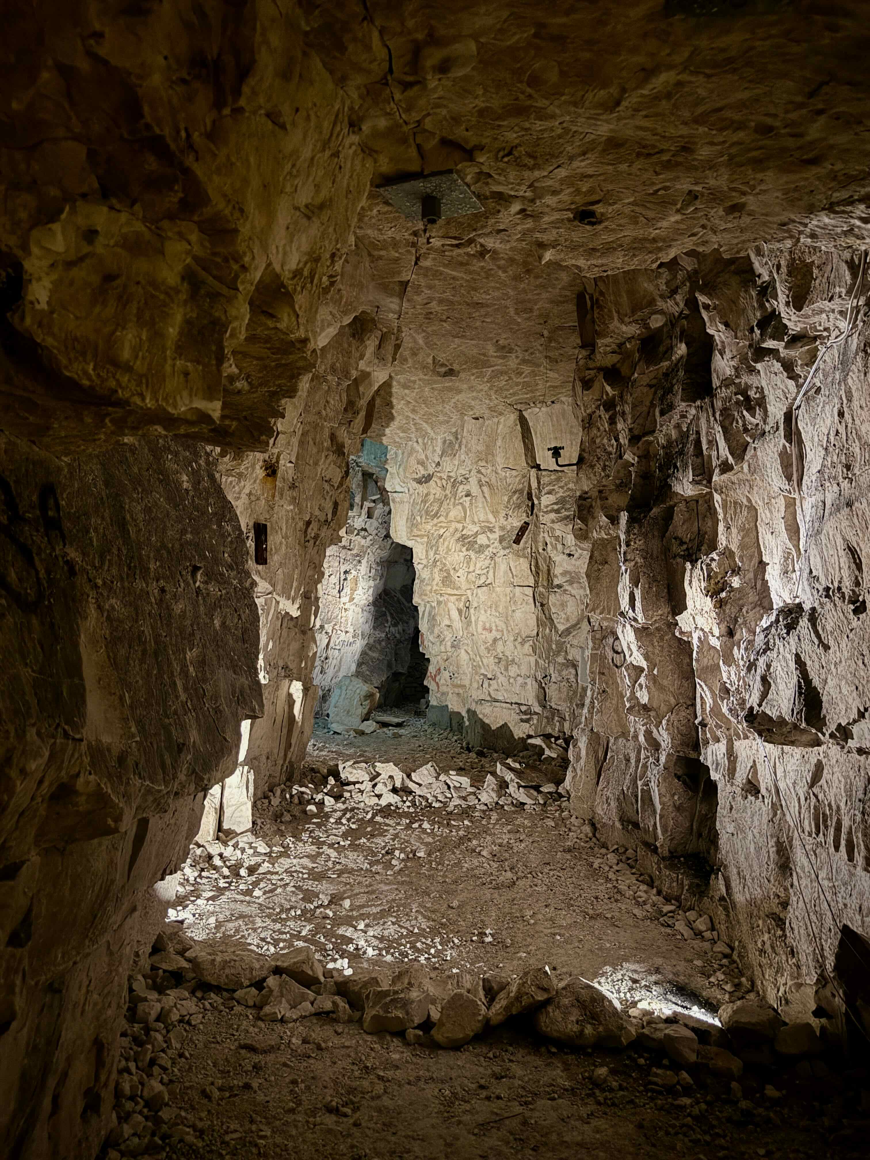
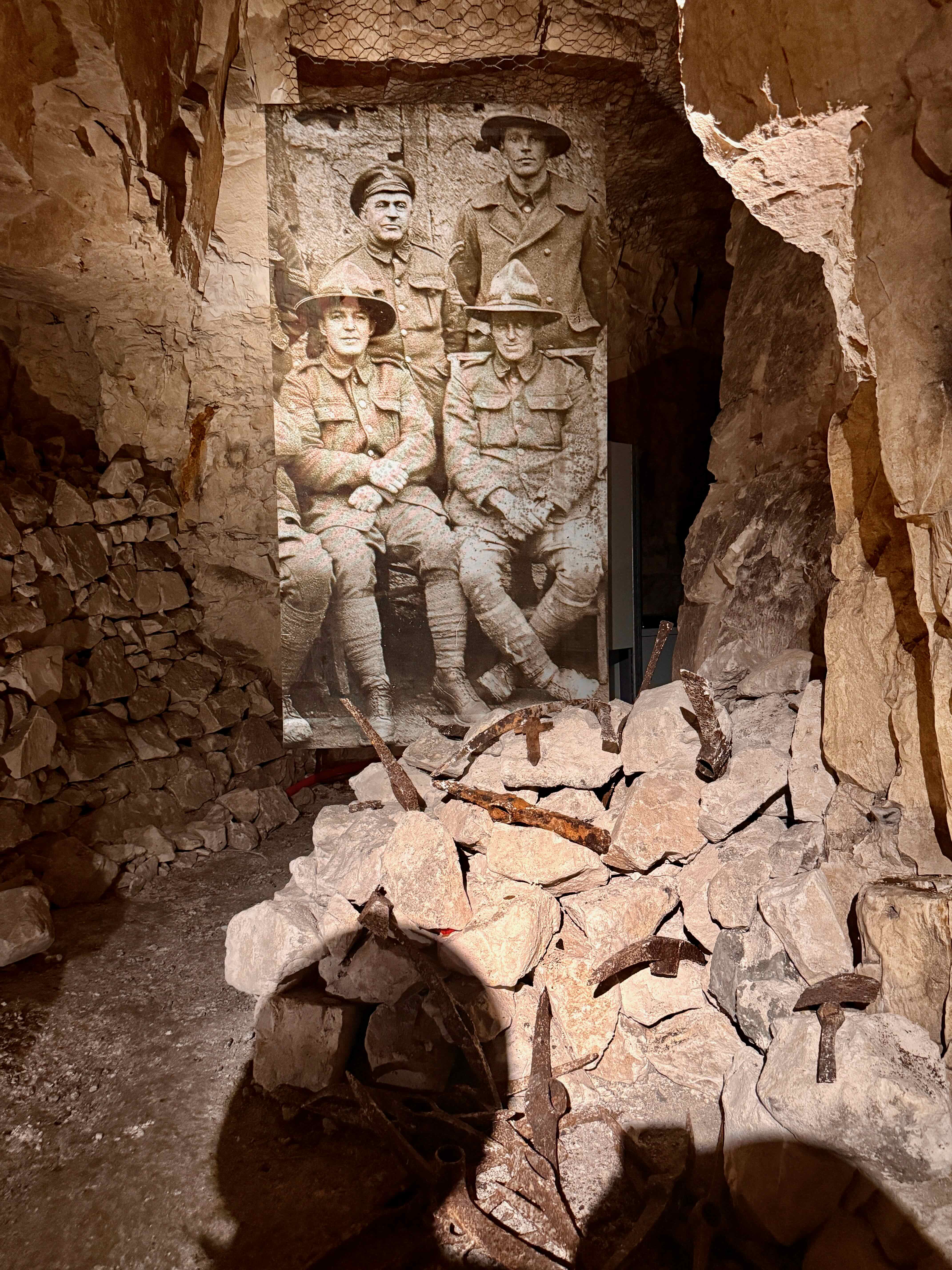
 In a theatre after the tour we watch a film about what happened after this battle and I am shocked to learn that the British advance slowed in the next few days and the German defence recovered. The battle became a costly stalemate for both sides and 4,000 men a day died in the days after the surprise attack. The British had 160,000 casualties and the Germans about 125,000. Up until hearing this I thought this Arras surprise attack was at least a success. I really hate war!
 The Sycamore/ Plane trees are starting to show their fall colours.


 There are very few owl depictions in prehistoric cave art. We get to see one here.


 More tree lined roads on the way home…the leaves look golden in the setting sun.


 There are more than 200 painted and engraved figures in Fonte de Gaume organized into compositions in the four main sections of this 120 meter long cave. We visited all but the narrowest section in the Diverticule teminal and the short cave on the right of the entrance.


 The first artworks we see are engravings…some of them were made by the artist using his fingers to mark the soft stone. Rouffignac is famous for its Mammoths. 158 mammoths that have been found on the walls of this cave, this is 30% of all mammoth representations in prehistoric cave art. Yet, curiously, there have been few mammoth bones found in this area. We also see cave bear claw marks all over the walls. The parallel vertical lines below this mammoth are from a cave bear scratching his claws on the cave walls.


 I was surprised to see that almost everyone in the group turned towards our guide when he started talking and they stopped looking at the drawings! Really? Couldn’t they have listened but keep looking a the artwork above our heads? It seemed such a waste to be standing here and ignoring these ancient drawings. One very interesting drawing of a mammoth showed its anal flap. Sorry, no photo of that one. Yes, this is a flap that covers the mammoth’s anus to keep it warm. Only someone who had very close contact with a mammoth would know about this detail. This fact was used to help authenticate these drawings, as they were thought to be modern fakes when they were first discovered..


 Once we are inside the cave there are even more stairs…


 The displays here shows some pictures of cave exploration…not for me..it looks cold, wet and exhausting and rather frightening as well. In all, 42 kilometres of galleries have been mapped by speleologists but there are still more areas that have not yet been explored.
 And there is another lake, twenty metres above the river! Mind boggling! Lake Superior (Upper Lake), is crystal clear and an incredible aqua colour. The round tan shaped formations on the right hand of the photo form a dam that holds the water in this lake.
 “A remarkable stalagmite lies above the lake. It is nicknamed the Pile d’Assiettes (Pile of Plates) because of its surprising resemblance to stacked-up china. It is a typical high-roof stalagmite formed when such a structure exceeds several tens of metres in height. Drops of water fall to the ground at great speed and explode, depositing limestone in circles and giving rise to very flattened formations.” ~


 I am quite relieved that we do not have to climb these steps!


 One last photo in the cave.


 A scientist reconstructed the features of the skull that was found here. I think she is quite beautiful and yes, much like a modern woman. The jewellery is from an area near here but ti was not found with this skeleton. Magdelenian man, or Cro-Magnon man is regarded as the closest ancestor to today’s humans.


 Inside the entrance building there are some drawings of the etchings in this cave. There are more than 800 rock engravings dating back to the era of Magdalenians, including 300 mammals, 52 stylized human figures, abstract signs and half a dozen sexual symbols.


 In 2016, a new replica, Lascaux IV, was opened to replace Lascaux II. It is adjacent to the original cave and offers an even more authentic experience than Lascaux II, with changes in air pressure, along with a series of atmospheric cave scents and sounds.
  Once again no photos allowed however there is an interpretive area that has more replica displays and we can take photos there.


 The last room we entered had huge animations which travels across three walls and sometimes over the floor and ceiling as well. I particularly liked this one which shows mammoths from the Rouffignac Cave, which we hope to visit later this week.
  I laugh watching these two guys. They are dressed the same, stand the same and both are smoking and looking at their cellphones. They even both take a drag on their cigarettes at the same time!
 Budapest has very pretty manhole covers.
 Bob tells me we are going to the top of that hill across the Danube River on the Buda side of the city. I am quite happy to hear there is a bus that will take us most of the way.
 The metro stations in Budapest are very deep underground. They were built so that they could be used as bomb shelters. I wonder what would happen if a bomb fell above a station full of people. How would they get out…would they be trapped by all the rubble? Then I decide that they could walk down the tracks and maybe get out at another spot. Bob says I think too much!
 We are on top of Gelléert Hill and it was only a short climb from the bus stop. There are great views of Budapest looking to the East…
 and the West.
 Bob called me over to watch an older man operating a shell game near here. He had a cardboard box and three shells, and people bet on which shell a pea was under after they were shuffled. We were astounded that he was able to convince people to bet 400 or 500 euros.
  It is getting windy so we start down the hill. We are walking down…
 through a park with lots of trees…
 and a couple playgrounds. This one takes advantage of the hillside. We tried this slide too.
 This cross is about halfway down the hillside and marks the location of the Cave Church directly below it.
 This statue of St. Stephen is near the entrance to the Cave Church.
 For more information and photos about this curious church check
 A bit further down the hill we peek inside the Gellért Hotel…
 which houses one of Budapest’s thermal bath houses. It looks very fancy.
 Here is a view of the cave entrance from the street below…
  and the Liberty Statue at the top of the hill.
 We walked back across the bridge to the Pest side of the river…
 and visit the Indoor market.
  I thought these kohlrabi were huge but the radishes were enormous, about the size of an egg! I’ve never seen radishes that big! We have supper here but unfortunately the food wasn’t really all that great.
  On our walk back home we pass through the Christmas Market and I notice these teapots. I would have loved to have bought one but worried about getting it home in one piece.
 These necklaces are made with seed beads! Imagine how long it would take to make each one.

 Giant formations inside the cave.
 The Macocha Abyss is a surprise. Like an underground world with trees and a small lake. The first discoverers of this cave lowered themselves by rope 138 meters into this abyss.
 Next we are loaded into boats and travel along 440 meters of an underground river. The overhanging rocks are very low and we need to duck at times to avoid banging our heads. No photos were allowed on the boats.
 We stop and disembark to view this beautiful white cavern then back onto the boats to finish our tour.
 After sampling the local fare we go for a hike to the top of the Macocha Abyss that we saw from inside the cave. Lots and lots of stairs!
 This is a picture of a picture, but it shows looking up from the bottom of the abyss better than any of my photos.
 Cave bear remains are found in this pile of rocks and bones and there is an assembled cave bear skeleton on display. These were very big bears who lived 50,000 to 30,000 years ago!
 This is called the Bamboo Forest with its high, stick shaped stalagmites. These are unique and not found in any other caves in this country.
 Crazy beautiful formations.
 We are allowed to touch this stalagmite. It is said that if you touch this formation with two fingers your wish will come true. Here’s hoping…
 The entrance to St. Catherine’s cave. The temperature inside these caves was about 8 °C and the humidity is 99%. We emerge into the 29° weather and our glasses and camera lens all fog up.


 T
T