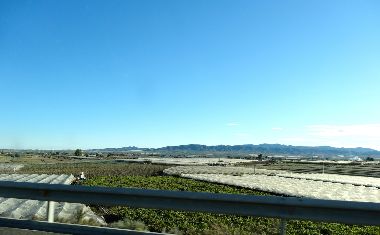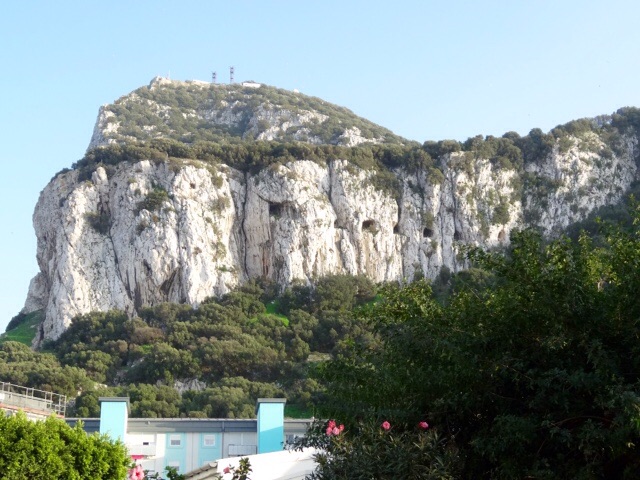
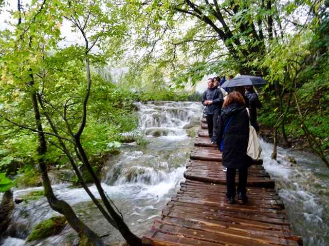
Day 23 Monday, September 22, 2025
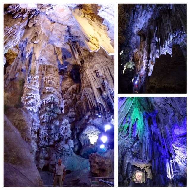
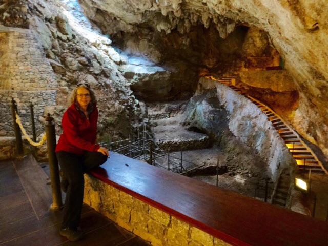
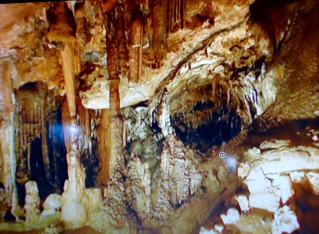
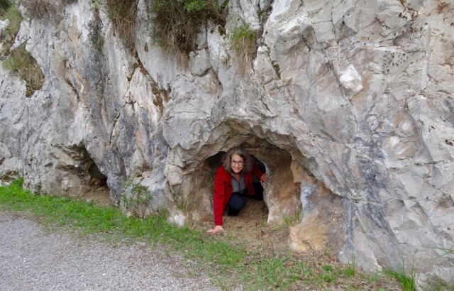
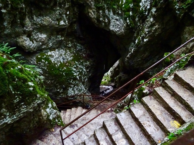
We are driving to Fontoy, France but we have a couple of stops planned on the way. The first stop is Dinant where we visit a cave called La Grotte la Marveilleuse, or The Wonderful Cave. We are given a brief description of the route we will be taking inside the cave as it is self-guided.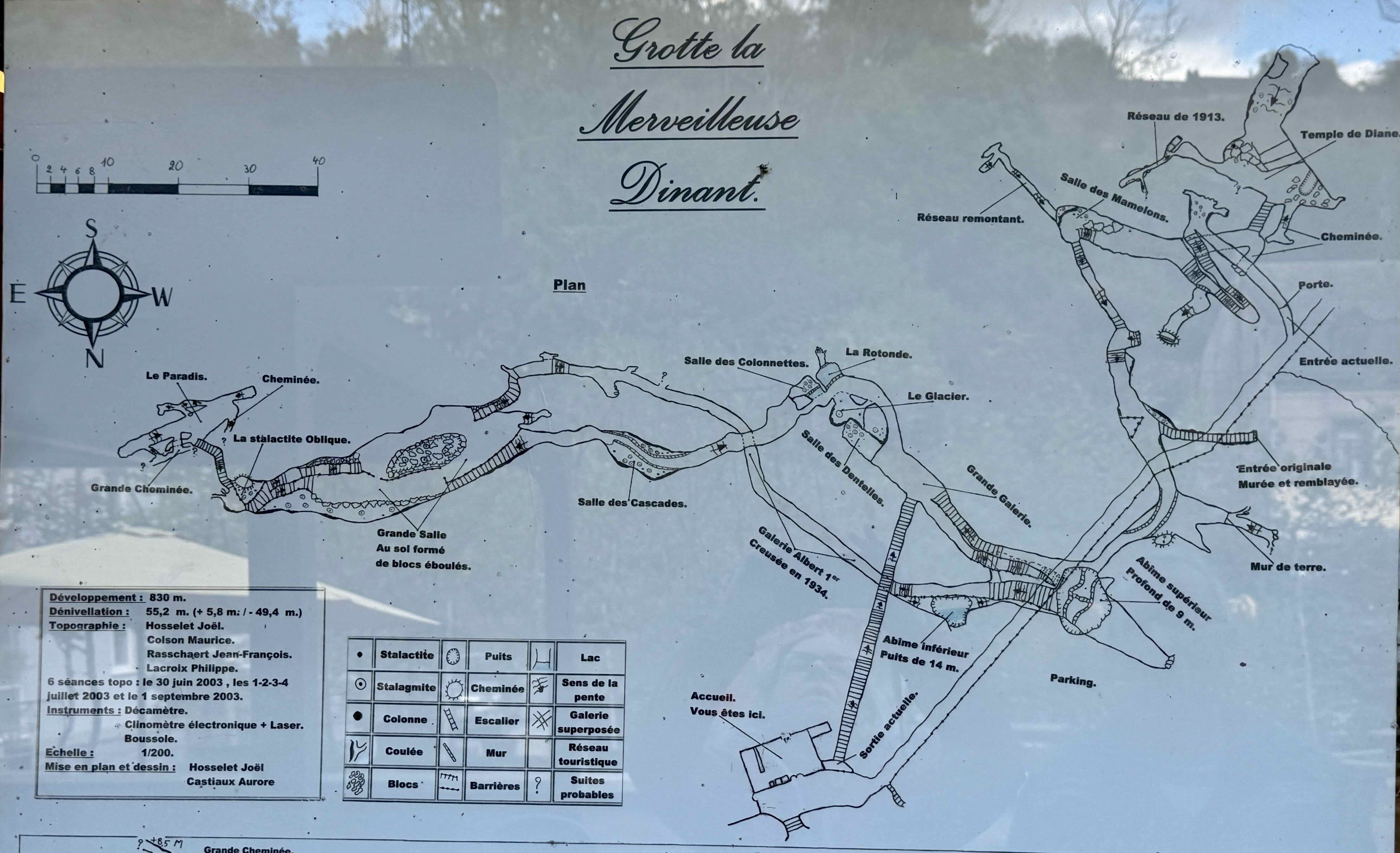 We walk down several flights of stairs and are surprised how big the cave is and the variety of formations we see.
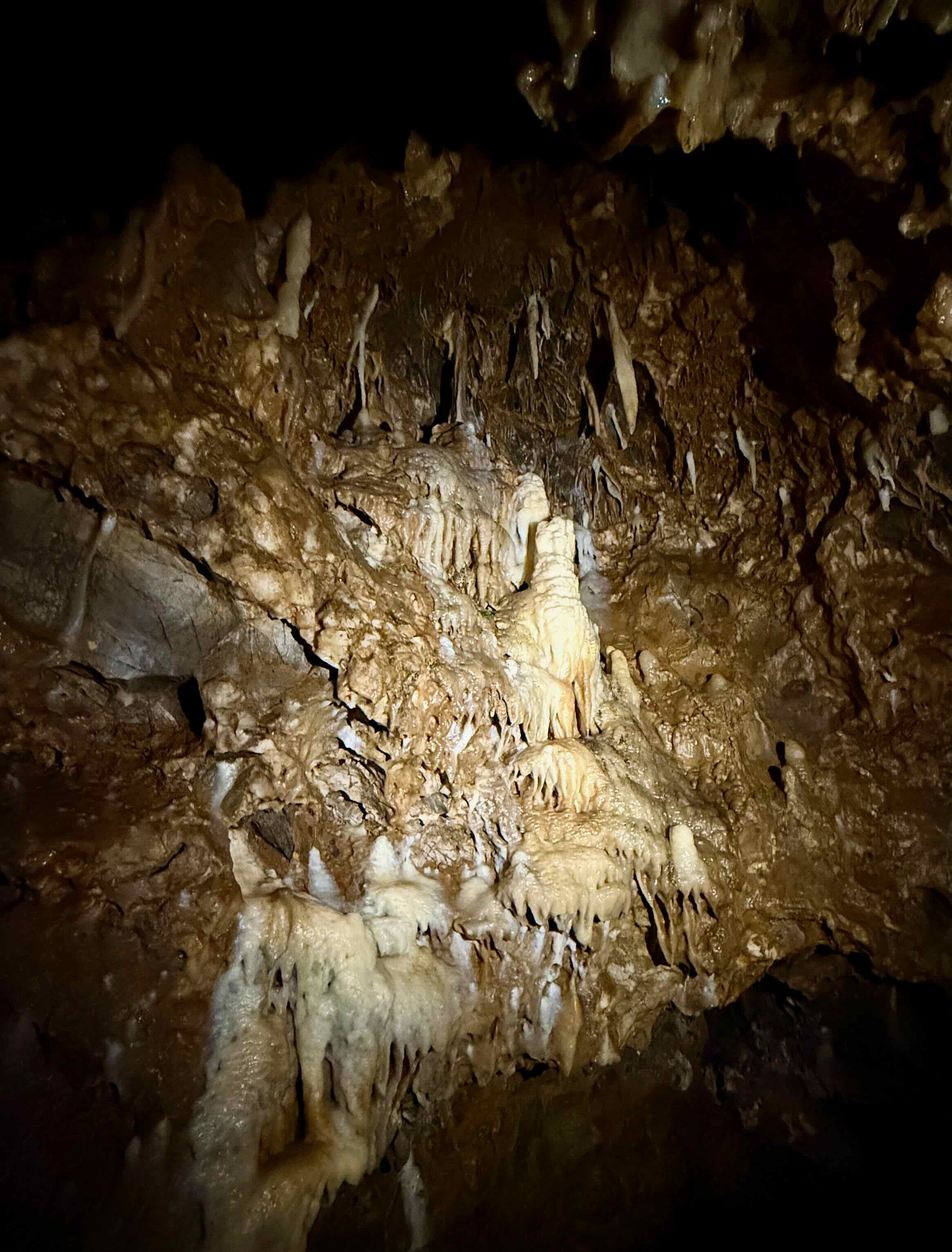
Some of them are very impressive.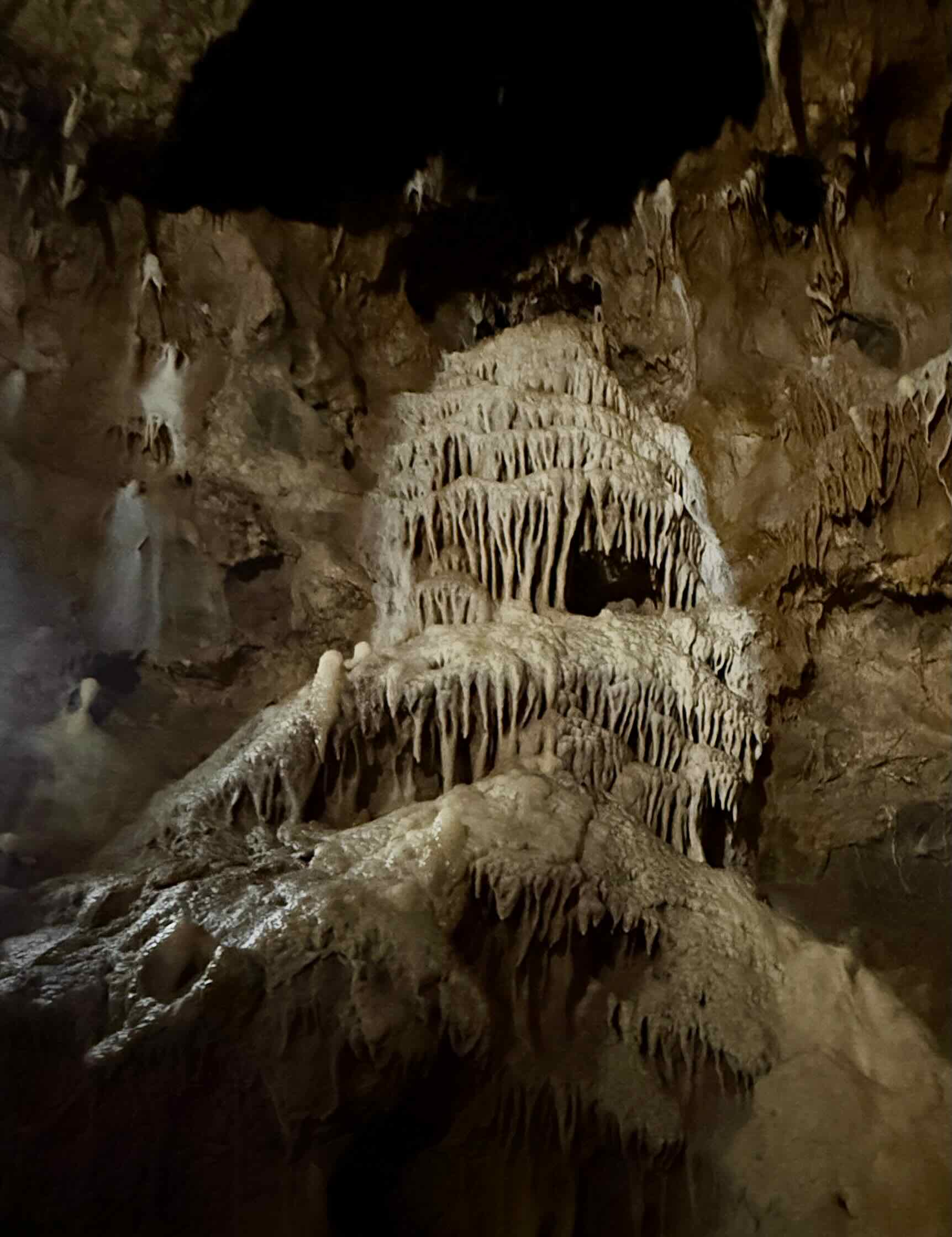 There are some rather large stalagmites
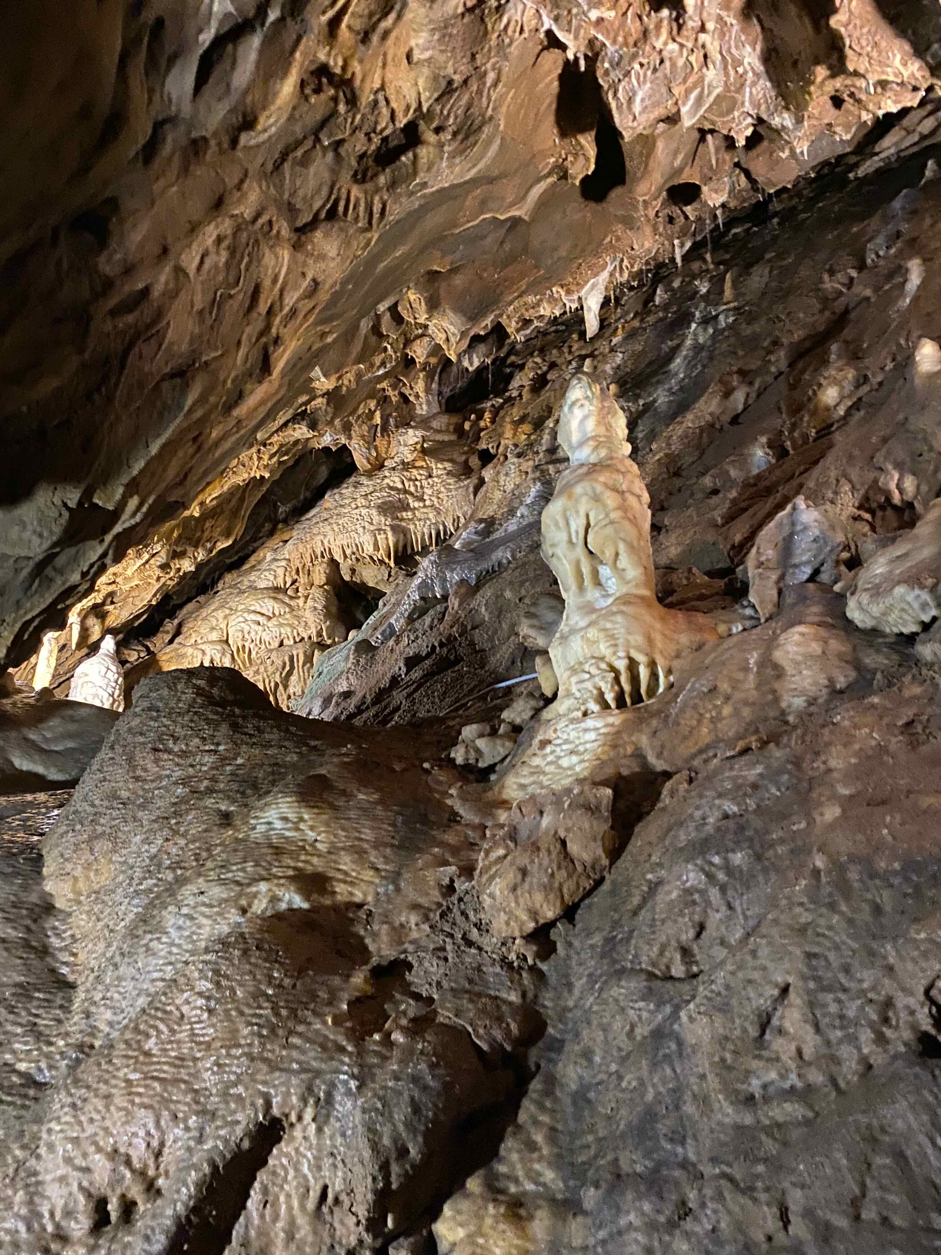
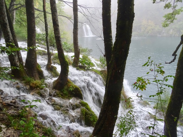
This white limestone formation is called The Glacier.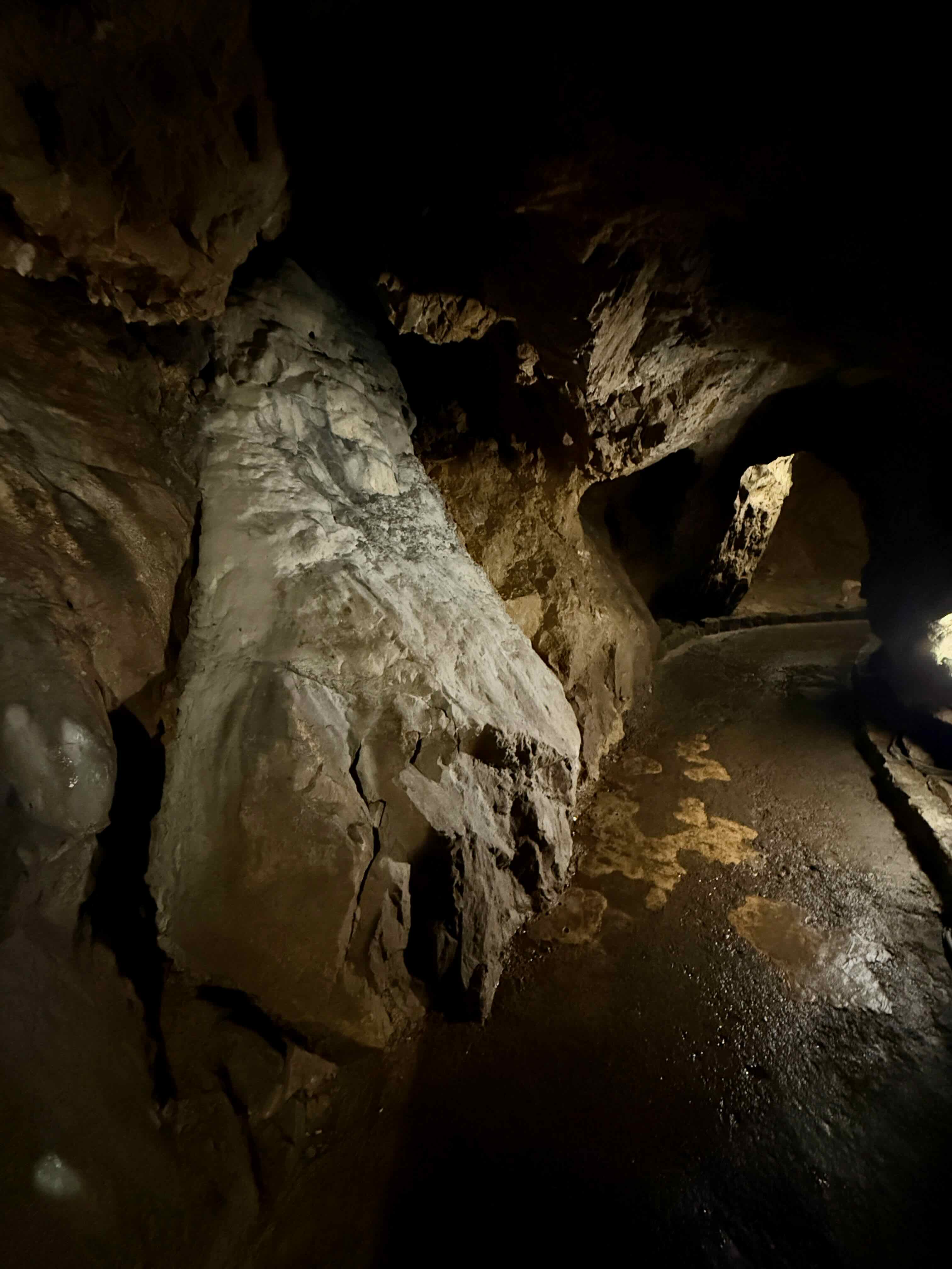 There are stalactites of all sizes hanging from the roof and walls of the cave.
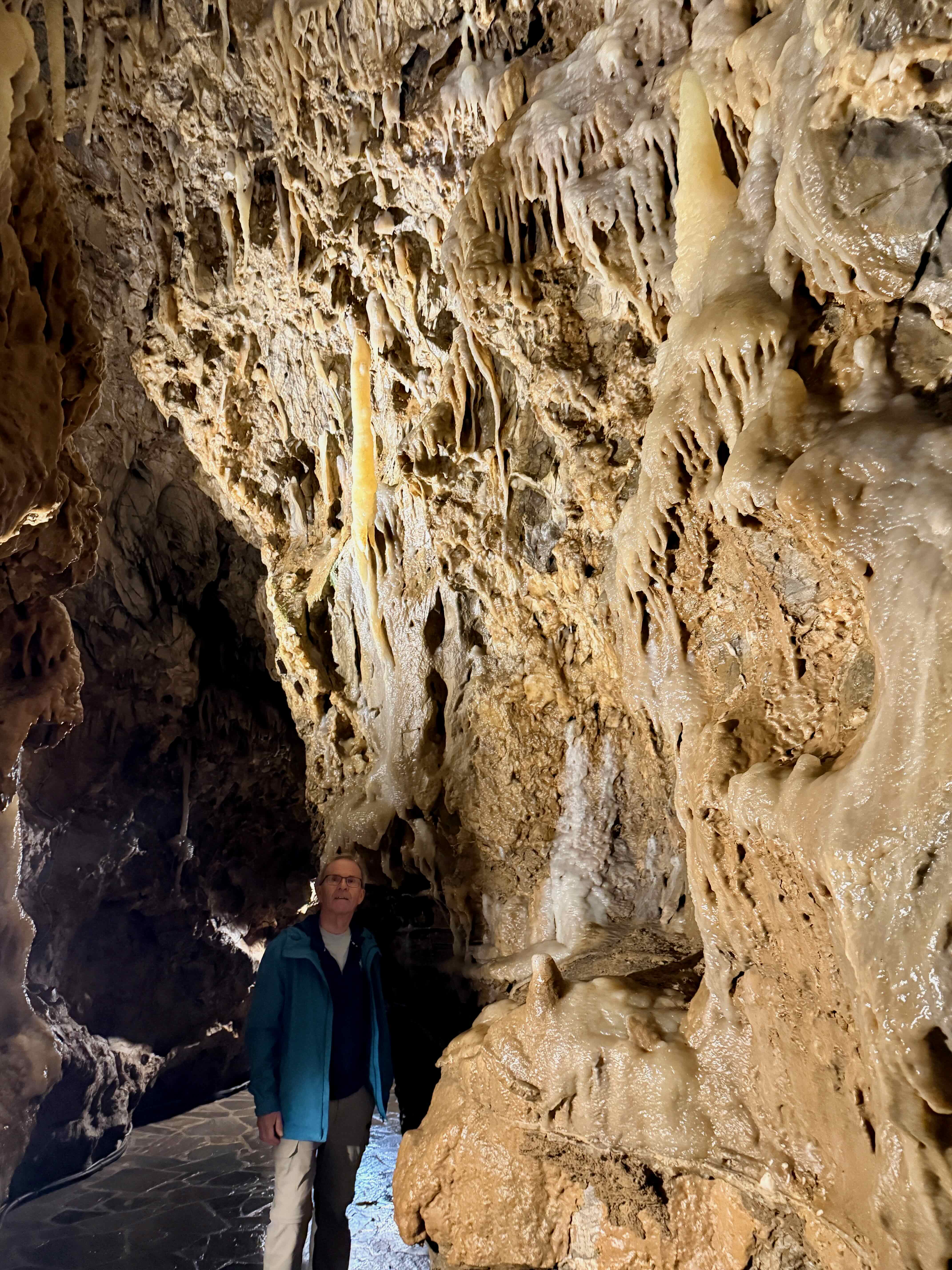 The interesting thing is that this is actually a living cave. There is water dripping from stalactites and landing on stalagmites. It takes centuries for these formations to show appreciable growth…only about 10 centimetres over a thousand years!
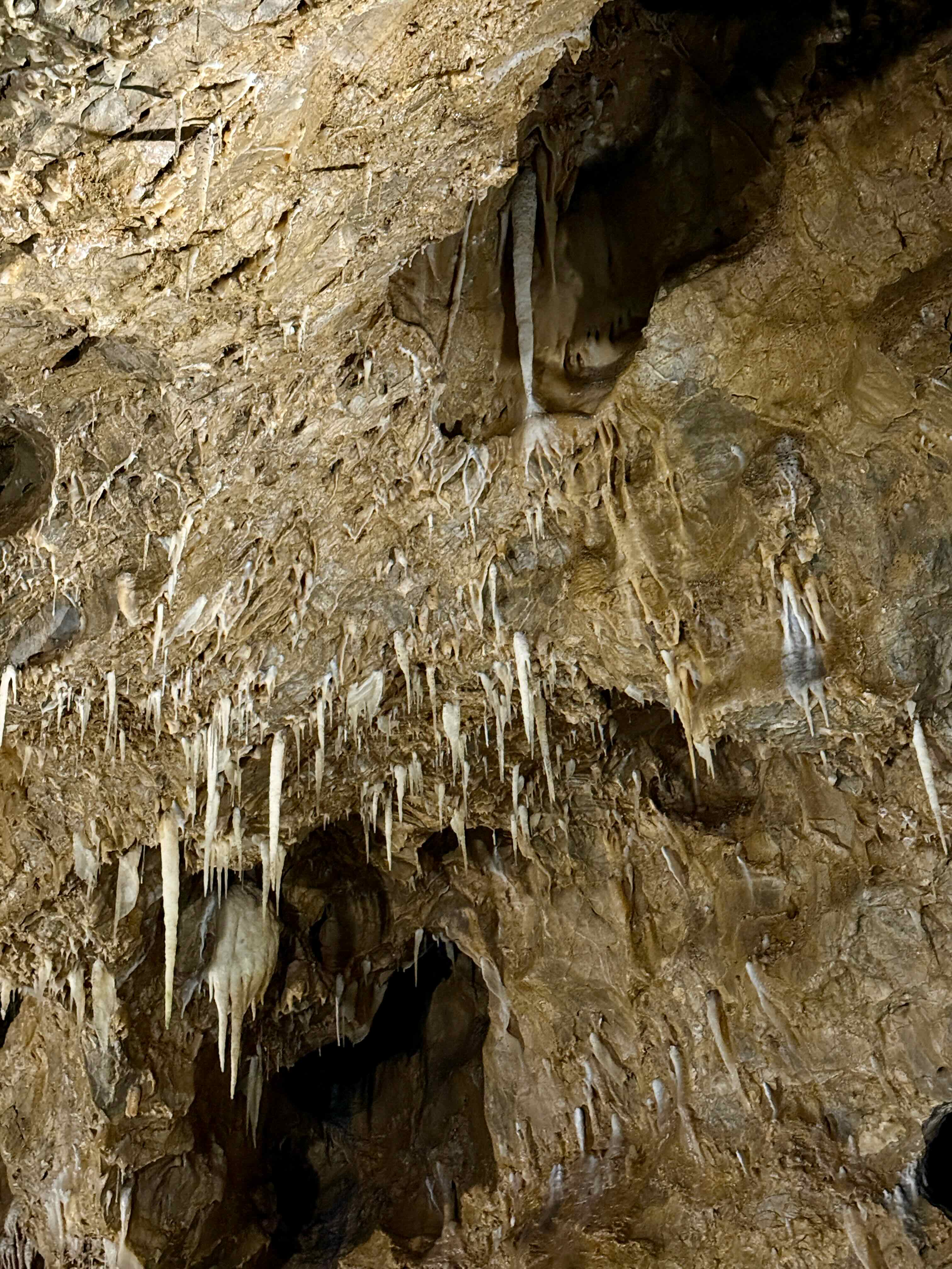 This is the biggest cavern, called the Grande Salle. The railings look like wood but they are actually made of reinforced concrete made to like tree branches.
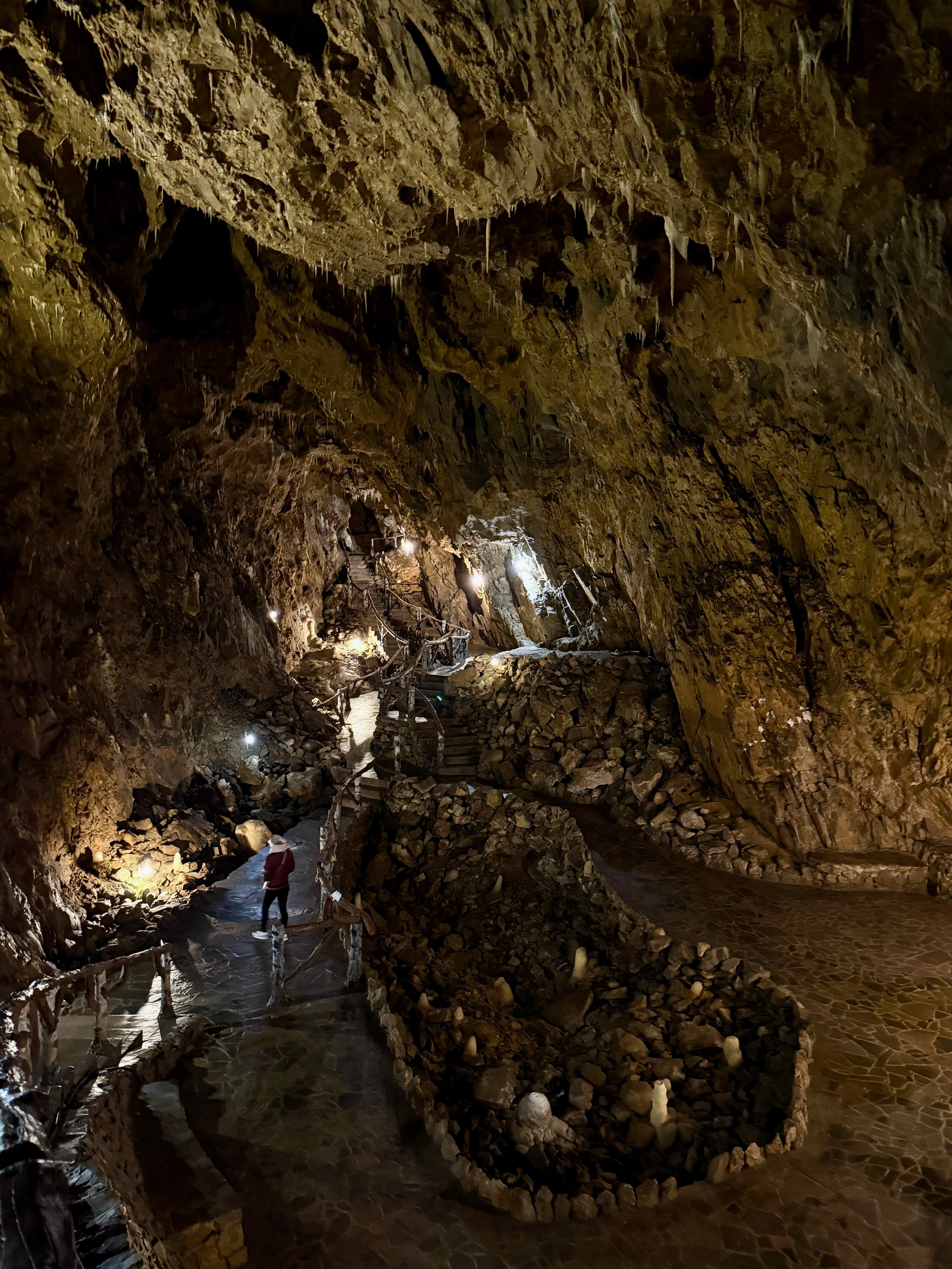
Even with the little bit of light from this small bulb moss starts to grow.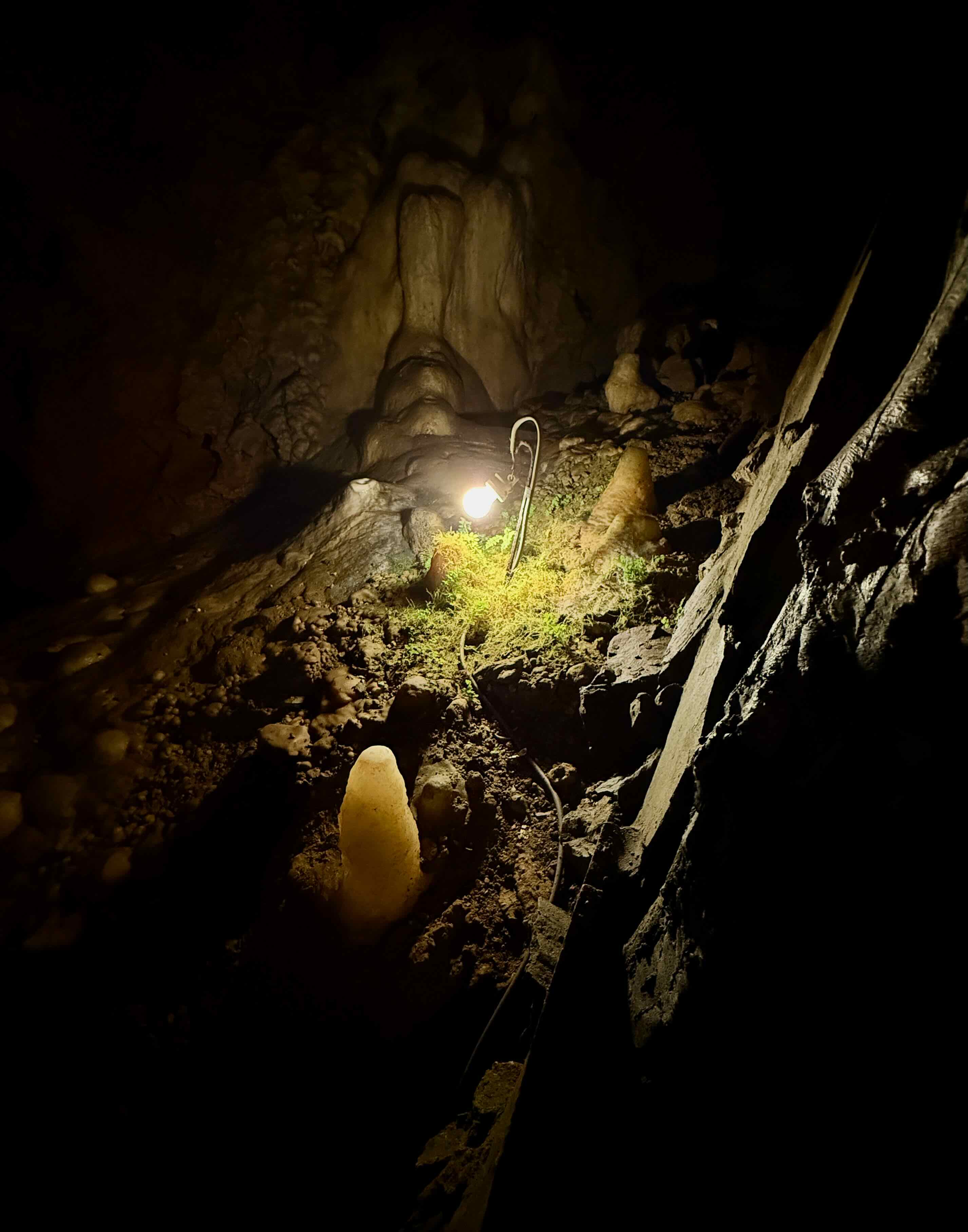
More stalagmites and stalactites.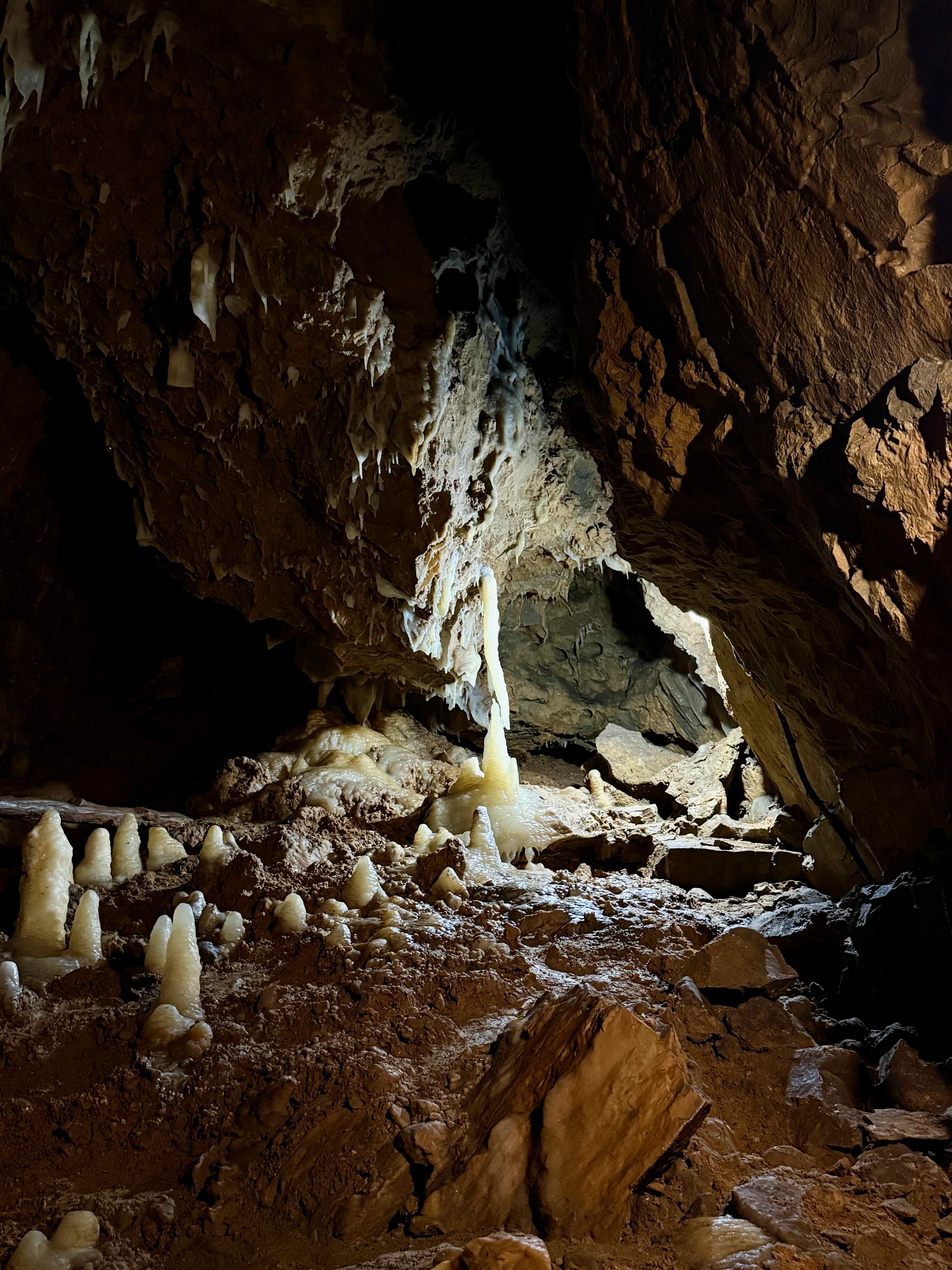
This cave was discovered in 1904 by workmen making a road. They uncovered a small cavern, and reported their find to the land owners. Realizing the tourist potential of this discovery, the owners added electricity and gradually the railings and stairs. In 1934 a long tunnel was constructed that connected the cave to another exit so that visitors did not have to retrace their steps to leave the cave. During the Second World War 300 townspeople hid in this tunnel to escape the Germans. 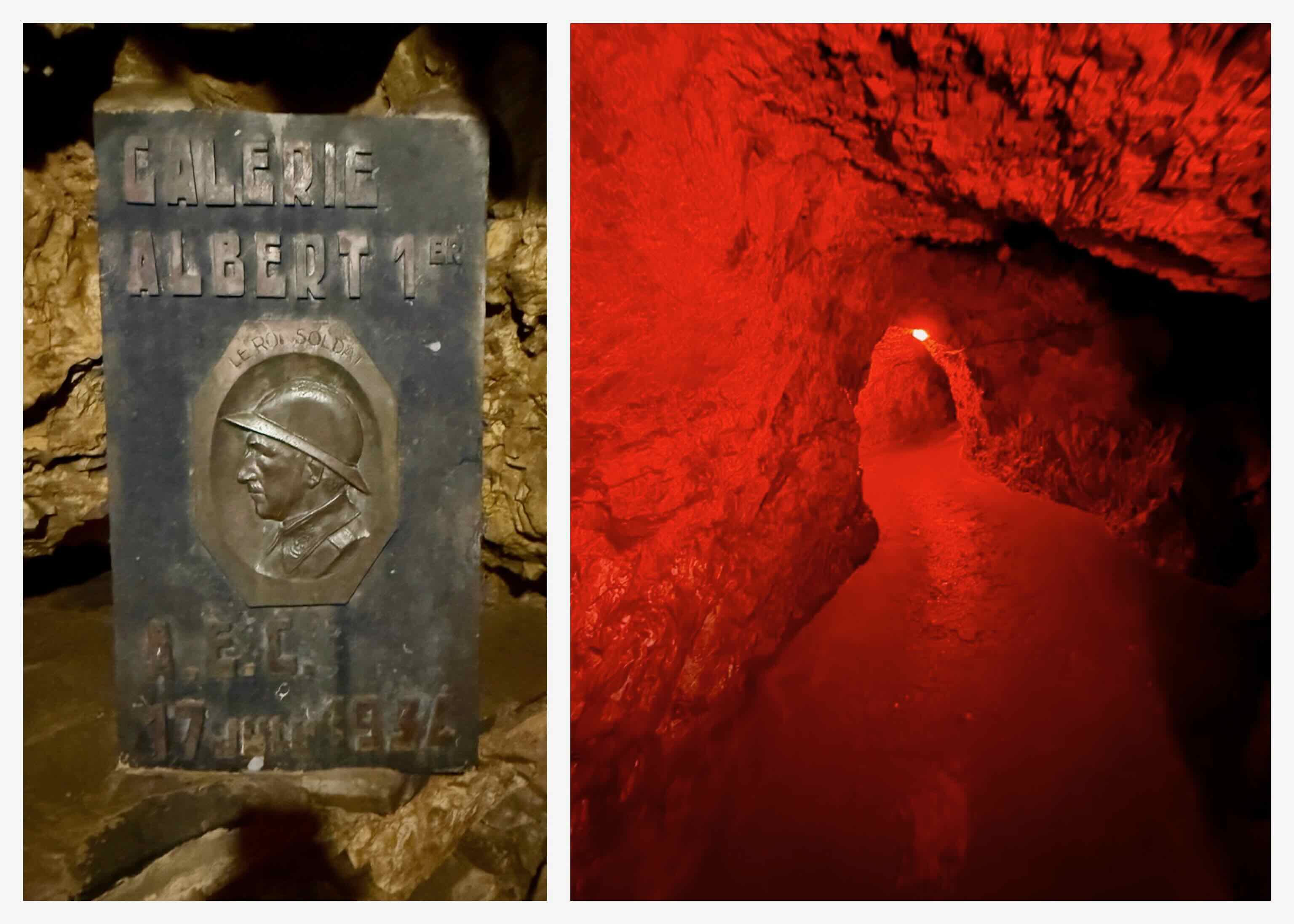 We are 95 meters below the surface!
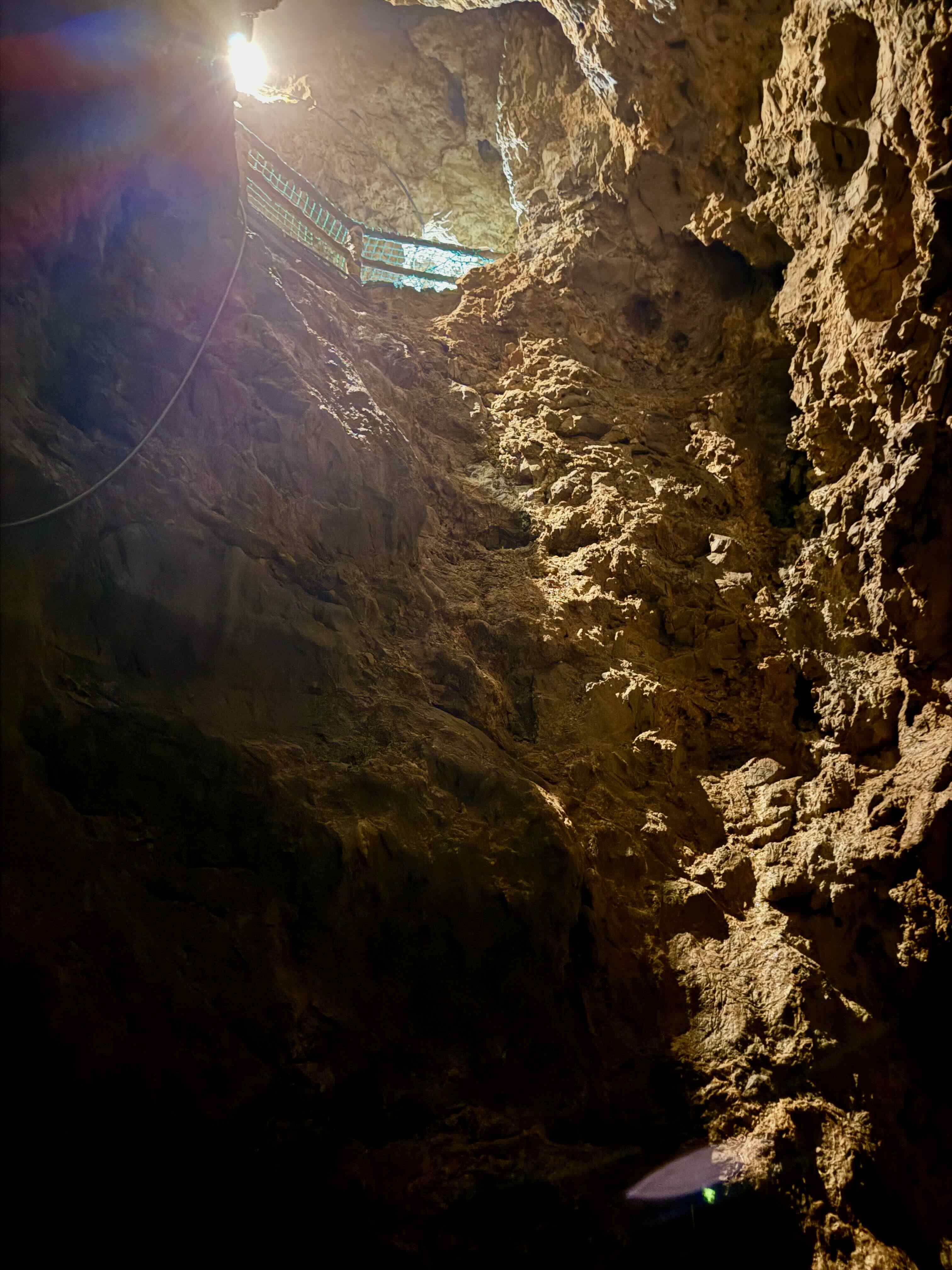 At the end of the tunnel we climbed this long stairway with 120 steps to the exit. There are about 350 stairs to climb on the whole tour along with many long downward sloping walkways. We enjoyed our tour of this cave. It is strange to think that we were so far underground and neither of us felt at all claustrophobic.
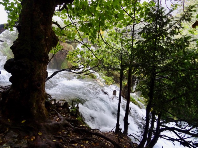
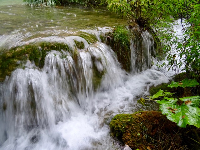
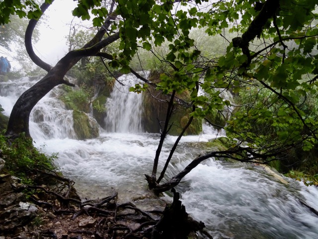
Dinant is an interesting little town, situated along both banks of this river. It is also where Alphonso Sax invented the saxophone in 1840.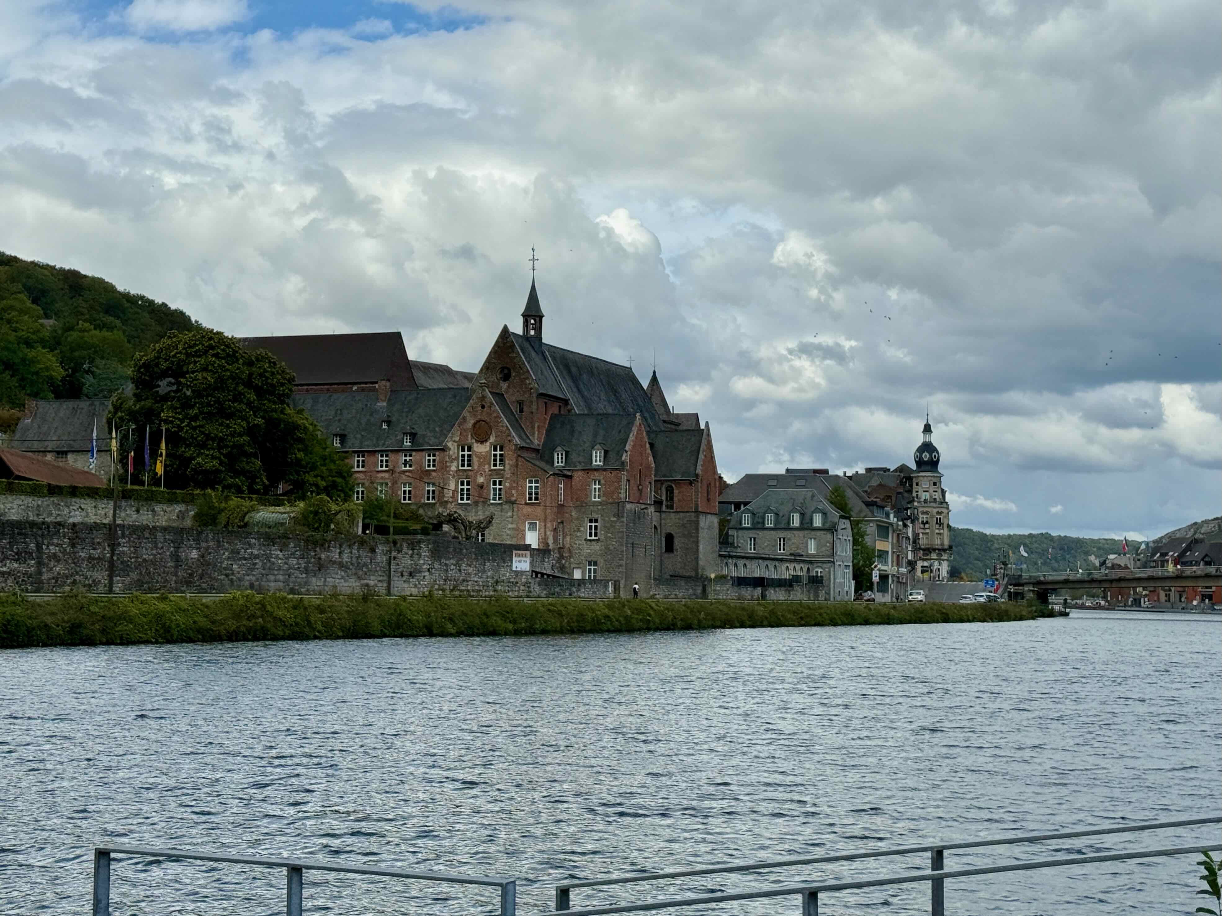
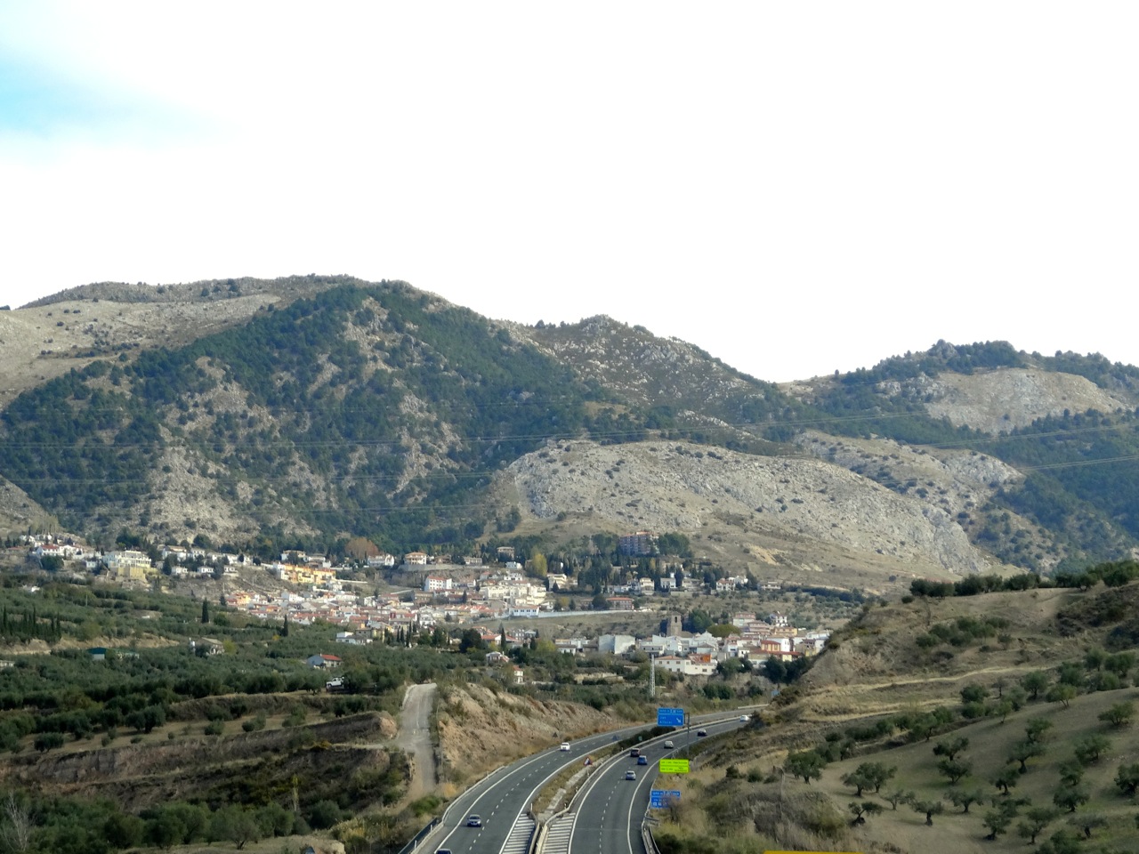
The Citadel high above the town looks interesting but we don’t have time for a visit.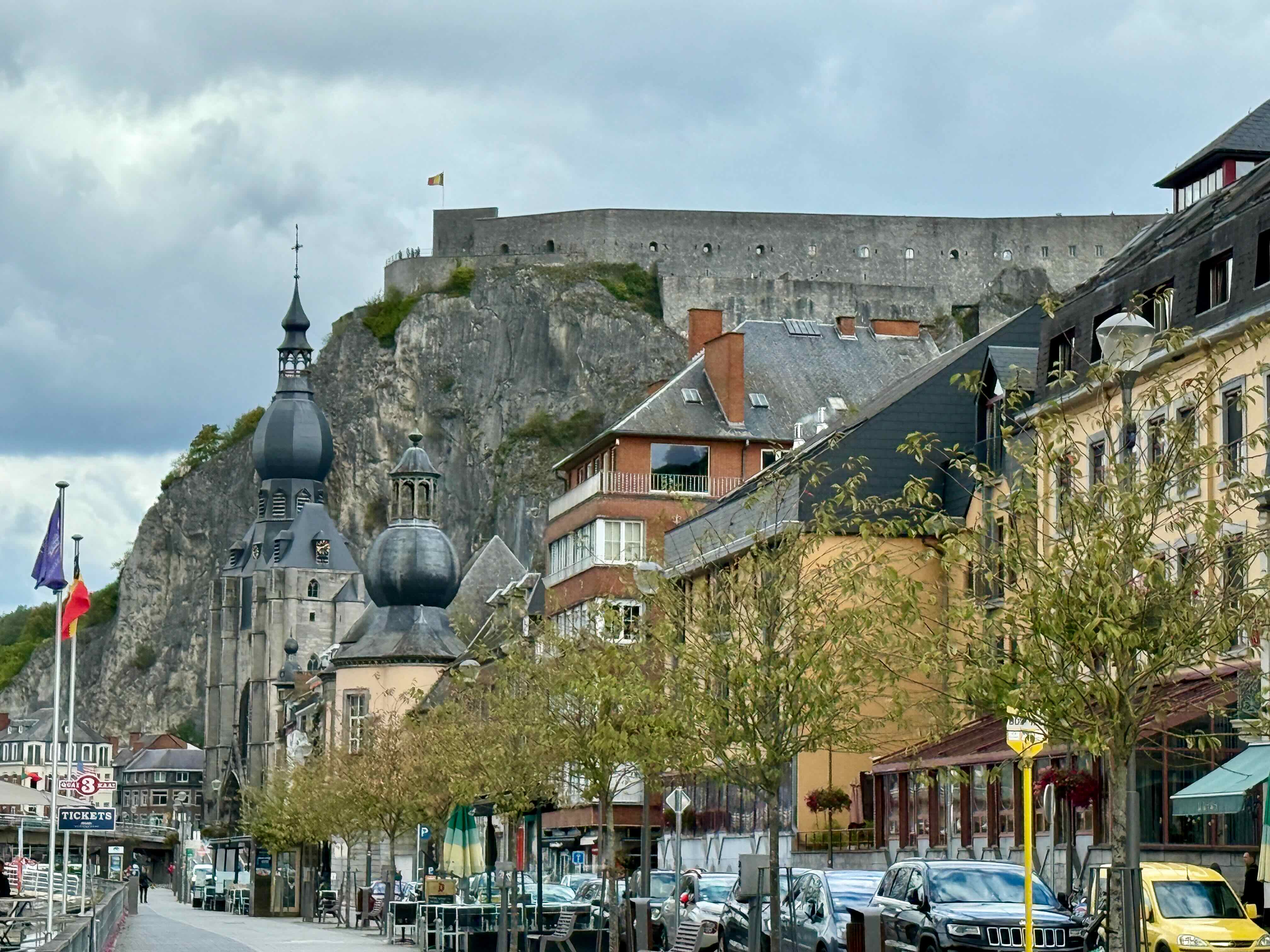 Back on the road headed towards Rocheport.
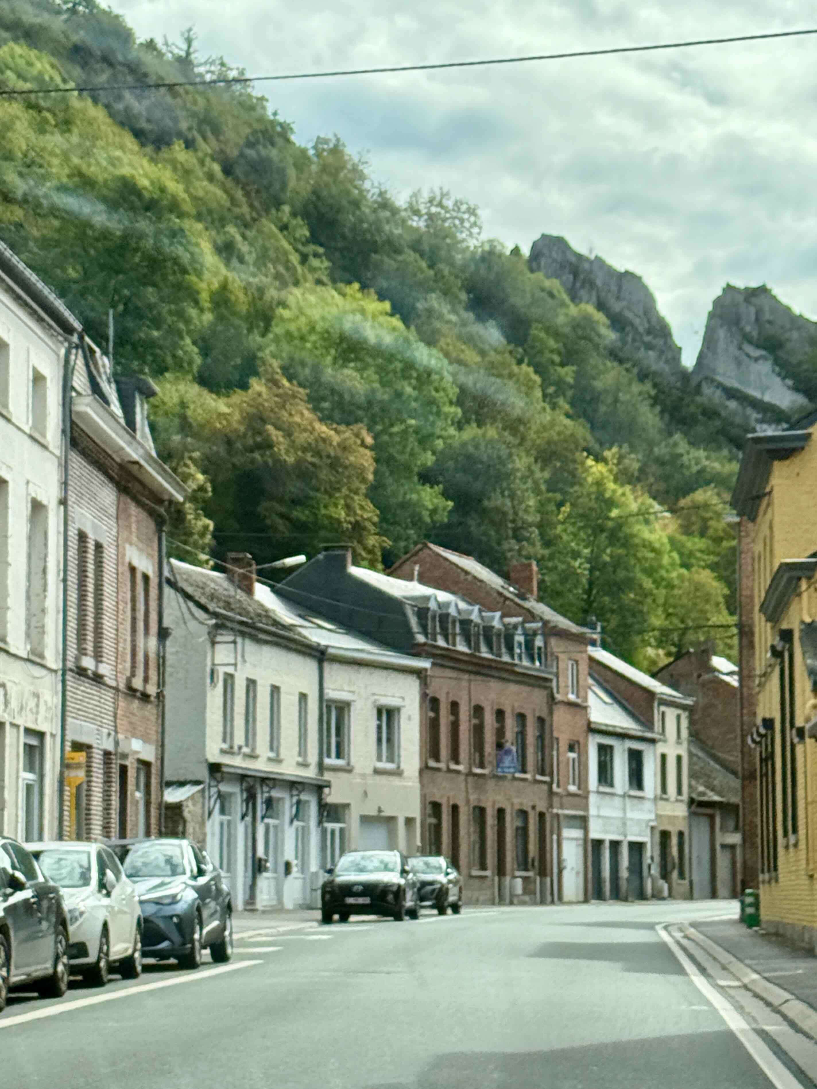
We drive over this pretty bridge and find a spot to park for tea and cookies in Rocheport and then we go for a little walk before heading towards our next Airbnb at Fontoy, France.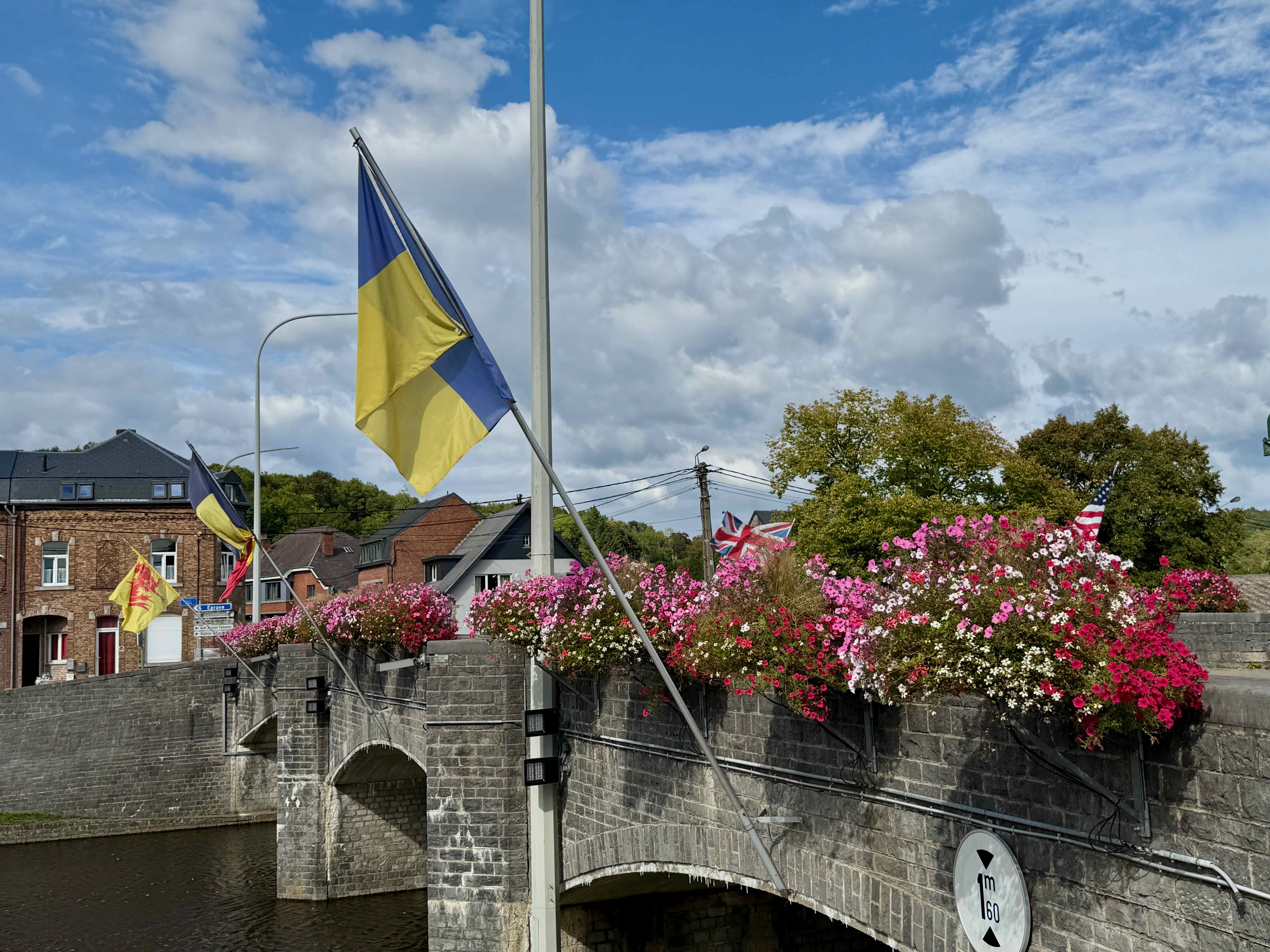
Every town, no matter how small, has a church, but this is the first church I remember seeing that has flower baskets by the entrance door. 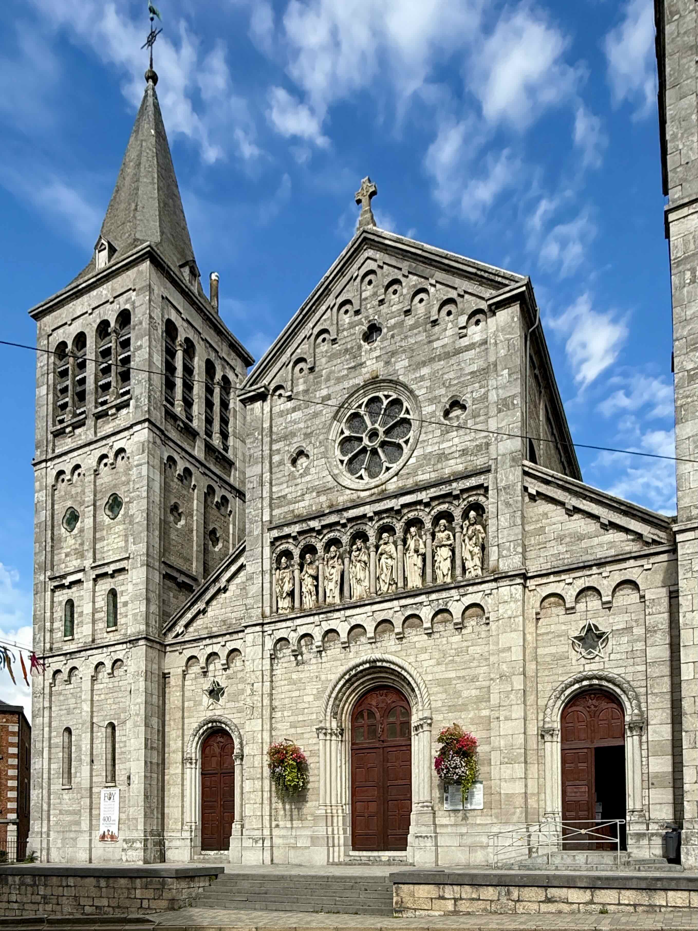
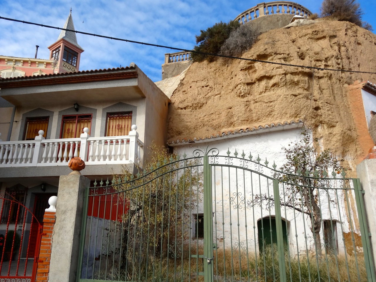
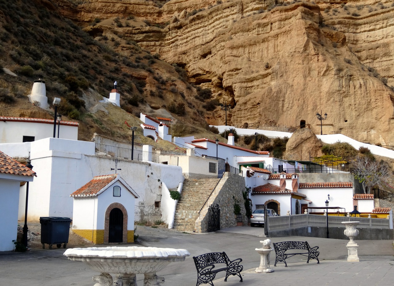
This is a an interesting building. We think it might be a single family dwelling as there is only one house number on the building.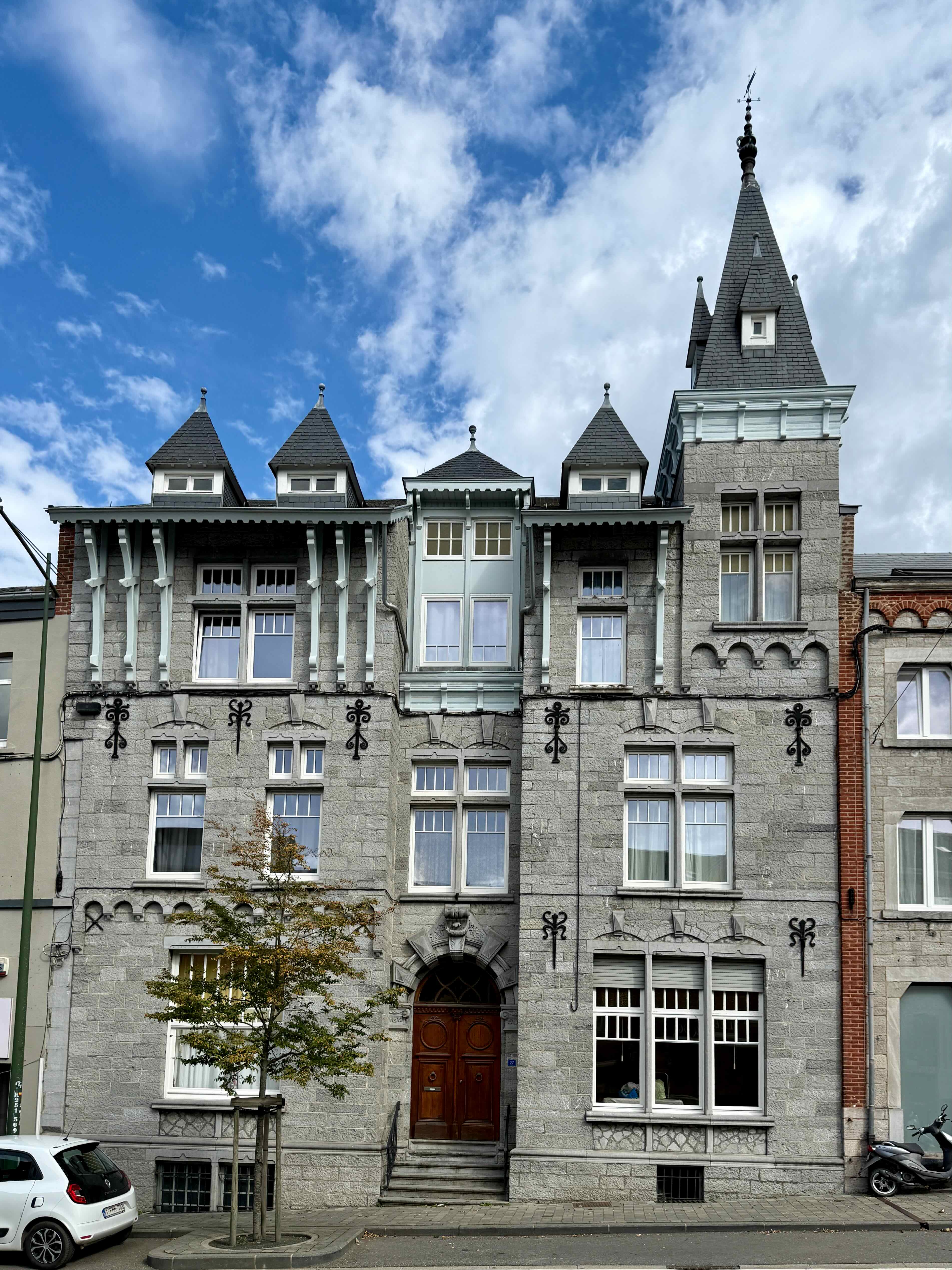
This strange statue is of a popular Belgium comedian, Raymond Devos (1922 – 2006) who is supposed to be popping out of a box, like a Jack in the box. I thought that he had his feet in a cement block, like gansters used!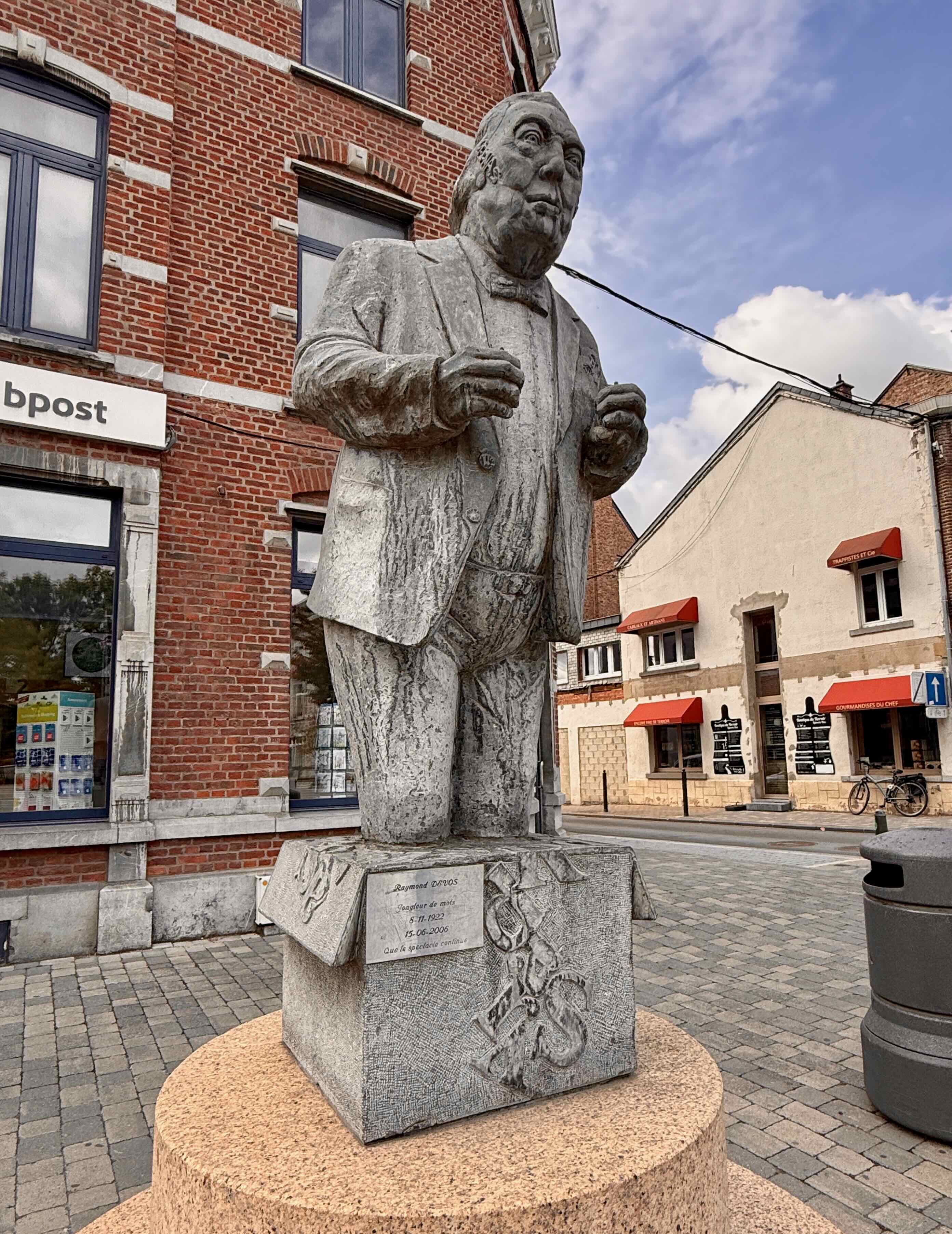
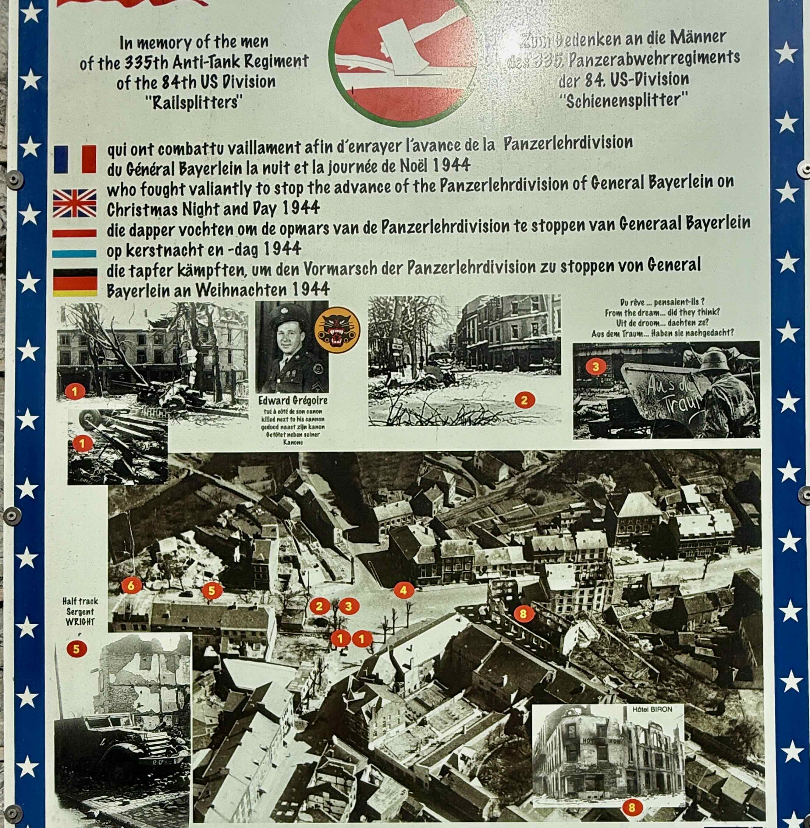
I liked the flowers at this intersection but then we see the poster below showing the damage to this area on Christmas Day 1944.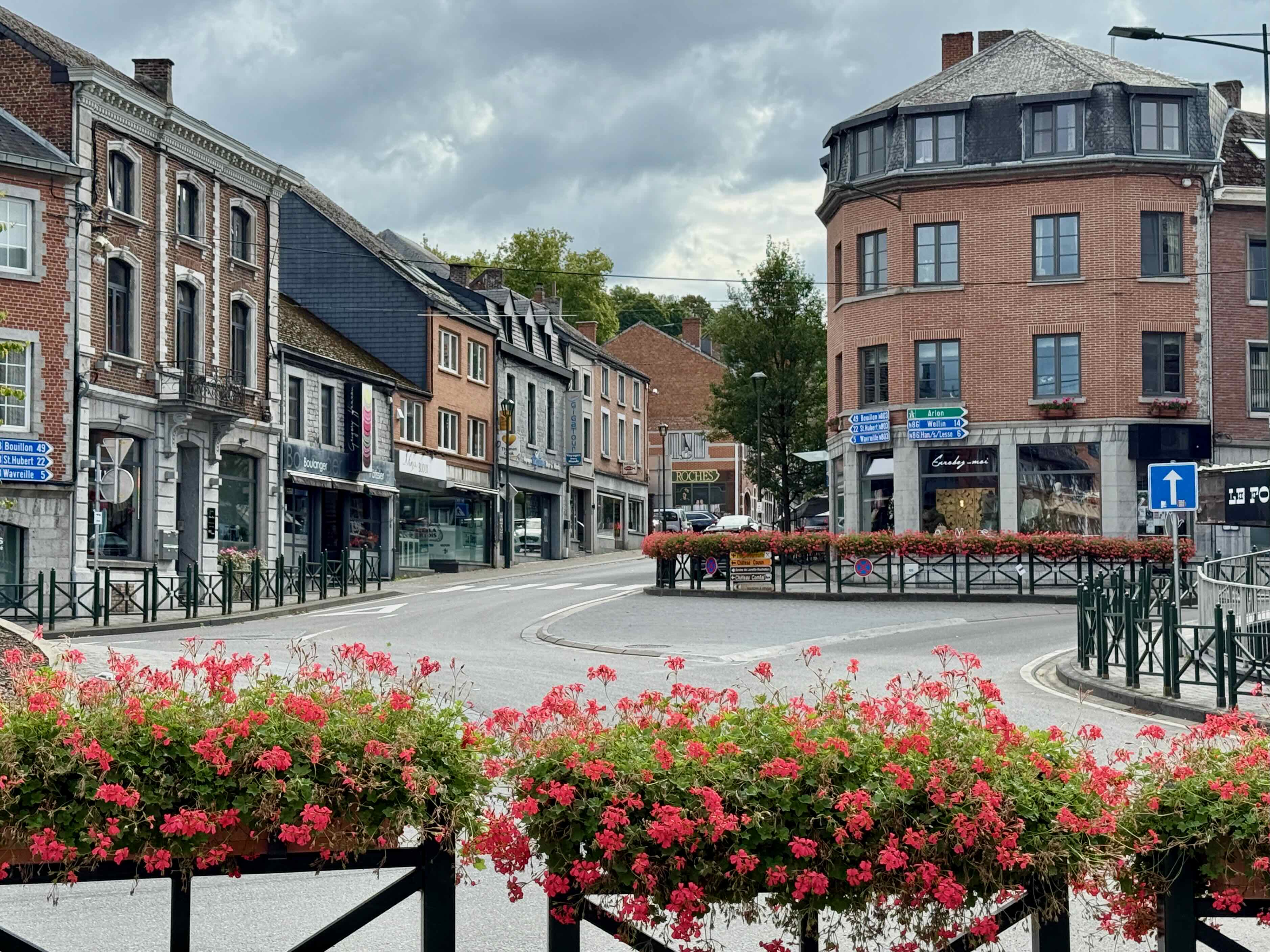
I loved the colours of these leaves.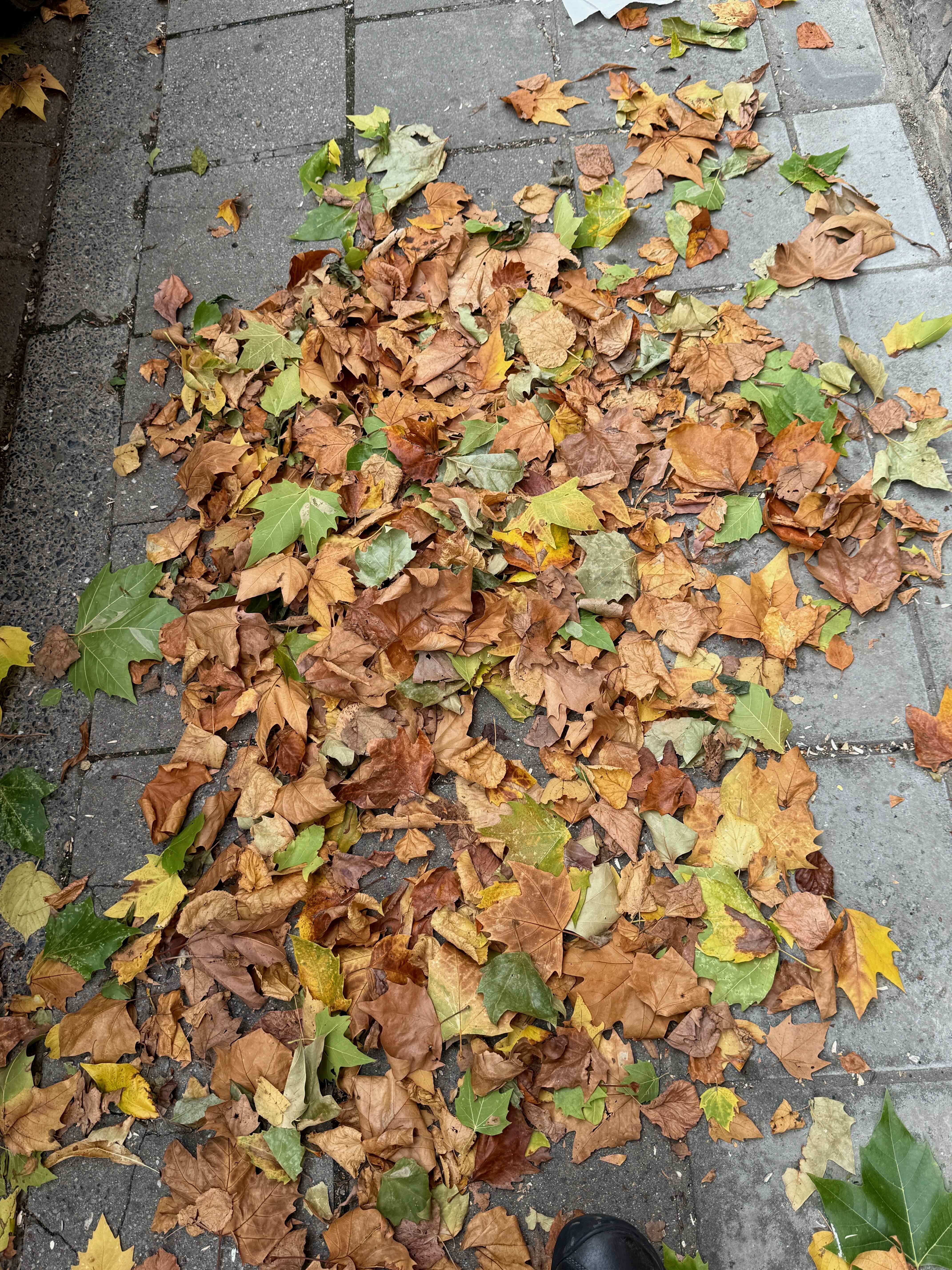 We see a truck with beautiful ochre coloured sand and then peek inside this building under renovation to see what it is being used for. Not exactly a do-it-yourself job!
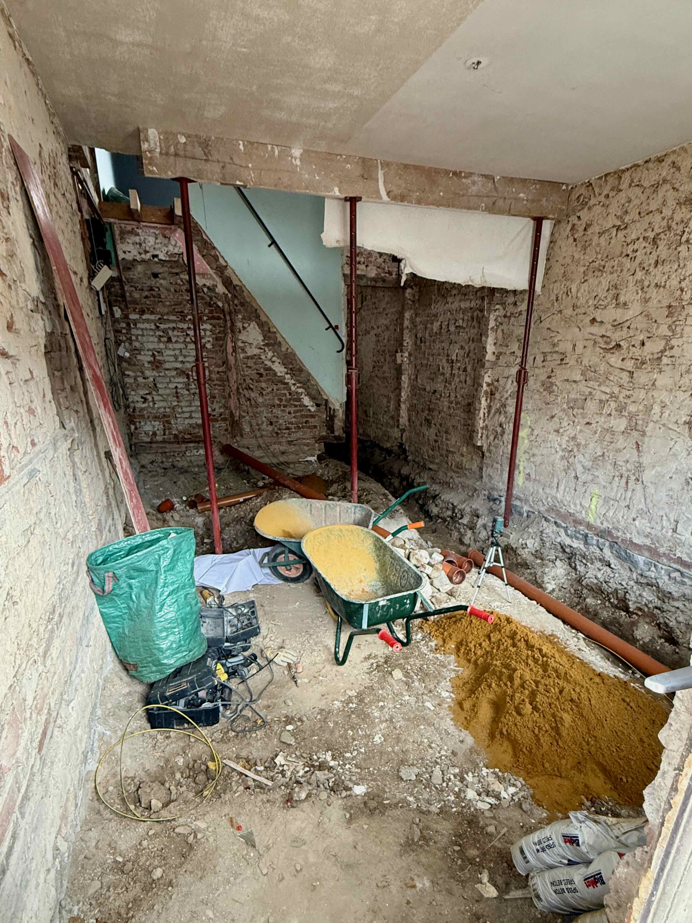 The doorway that we looked into is right next to this house with the gorgeous red geraniums.
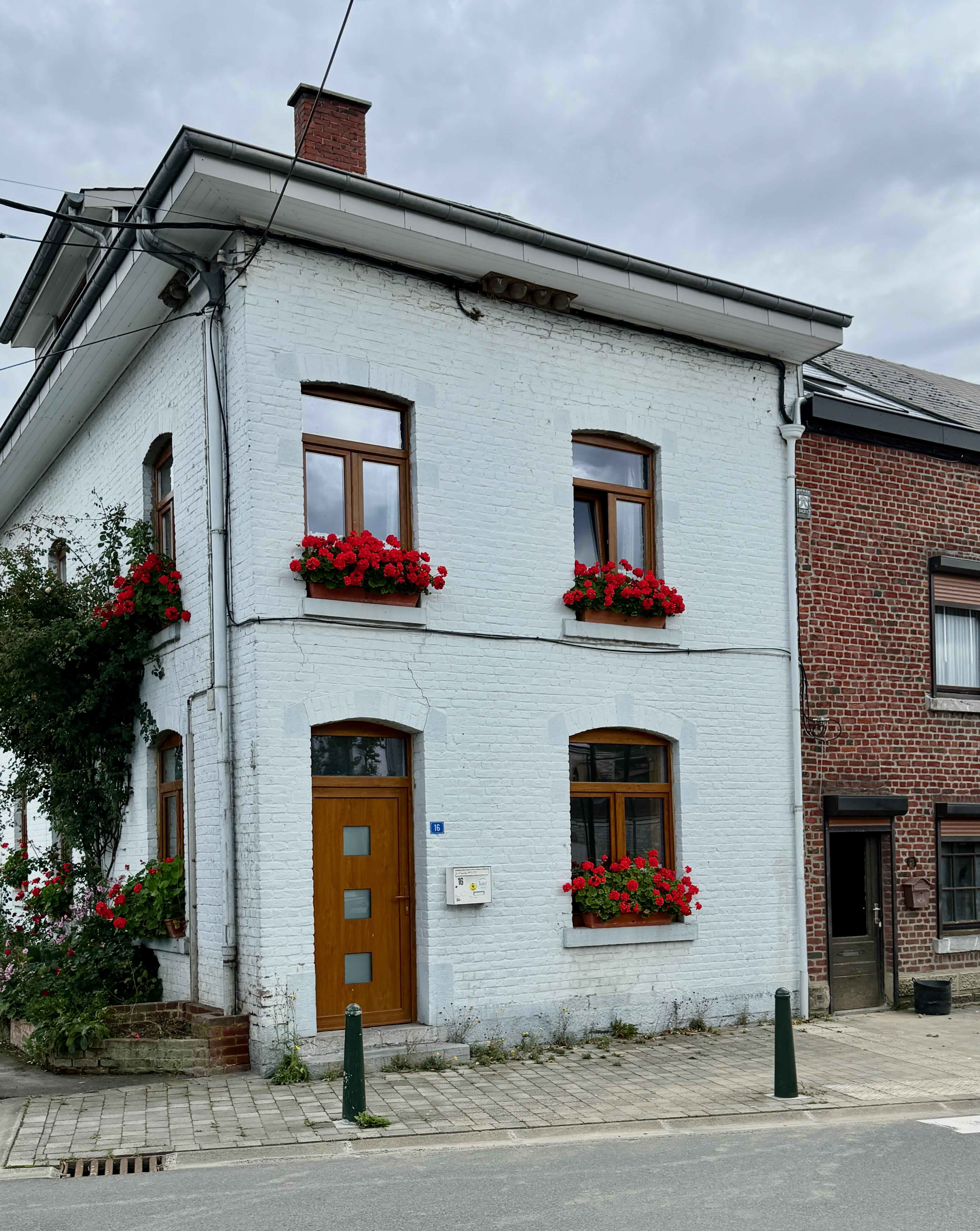
It is rush hour and there are ‘Deviations’ which mean detours and lots of traffic. We count 153 trucks in a row that are not moving at all on the highway. Thankfully they are not going in our direction!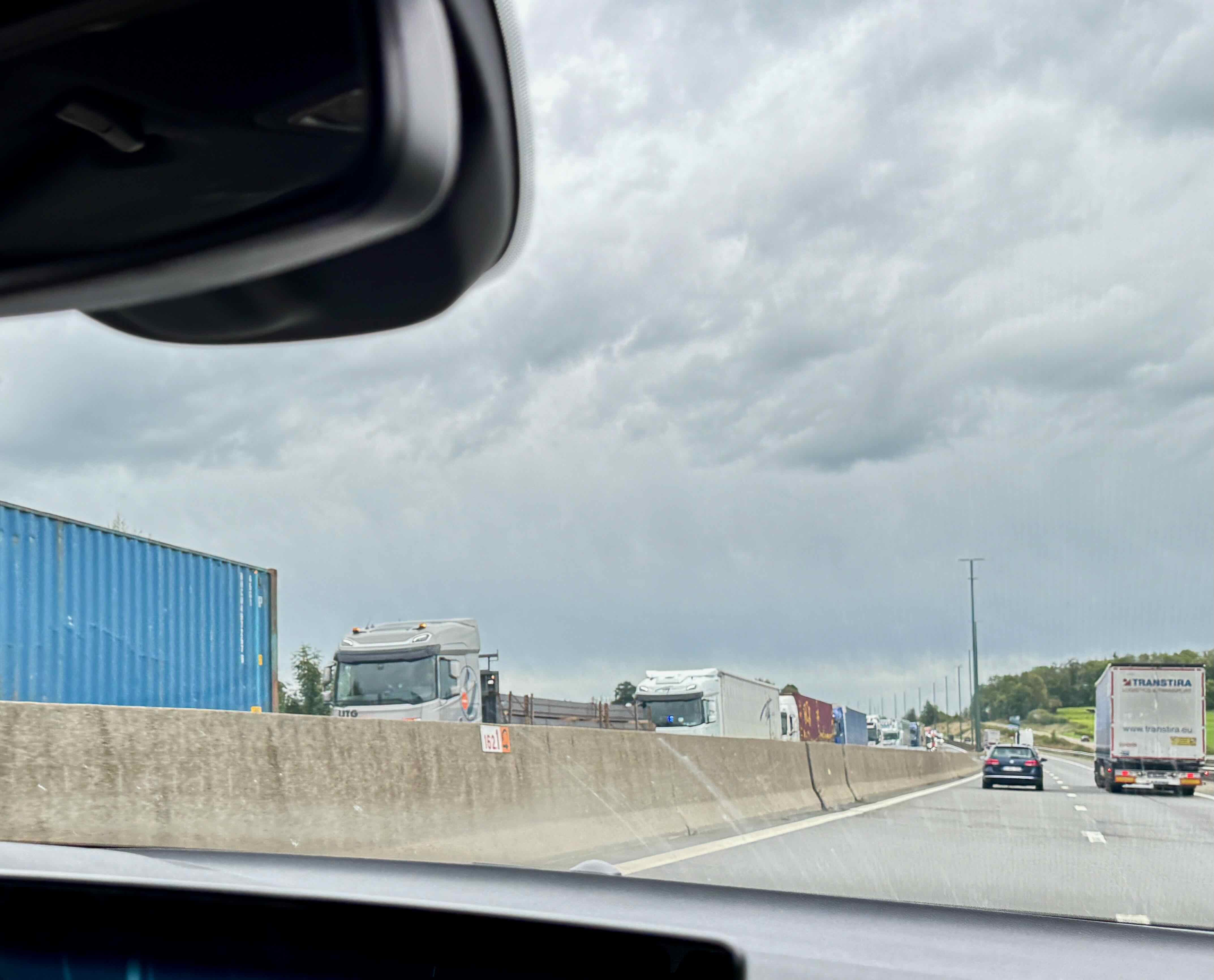
We see these huge crosses along the highway near the end of our trip, but I am unable to find any information about them.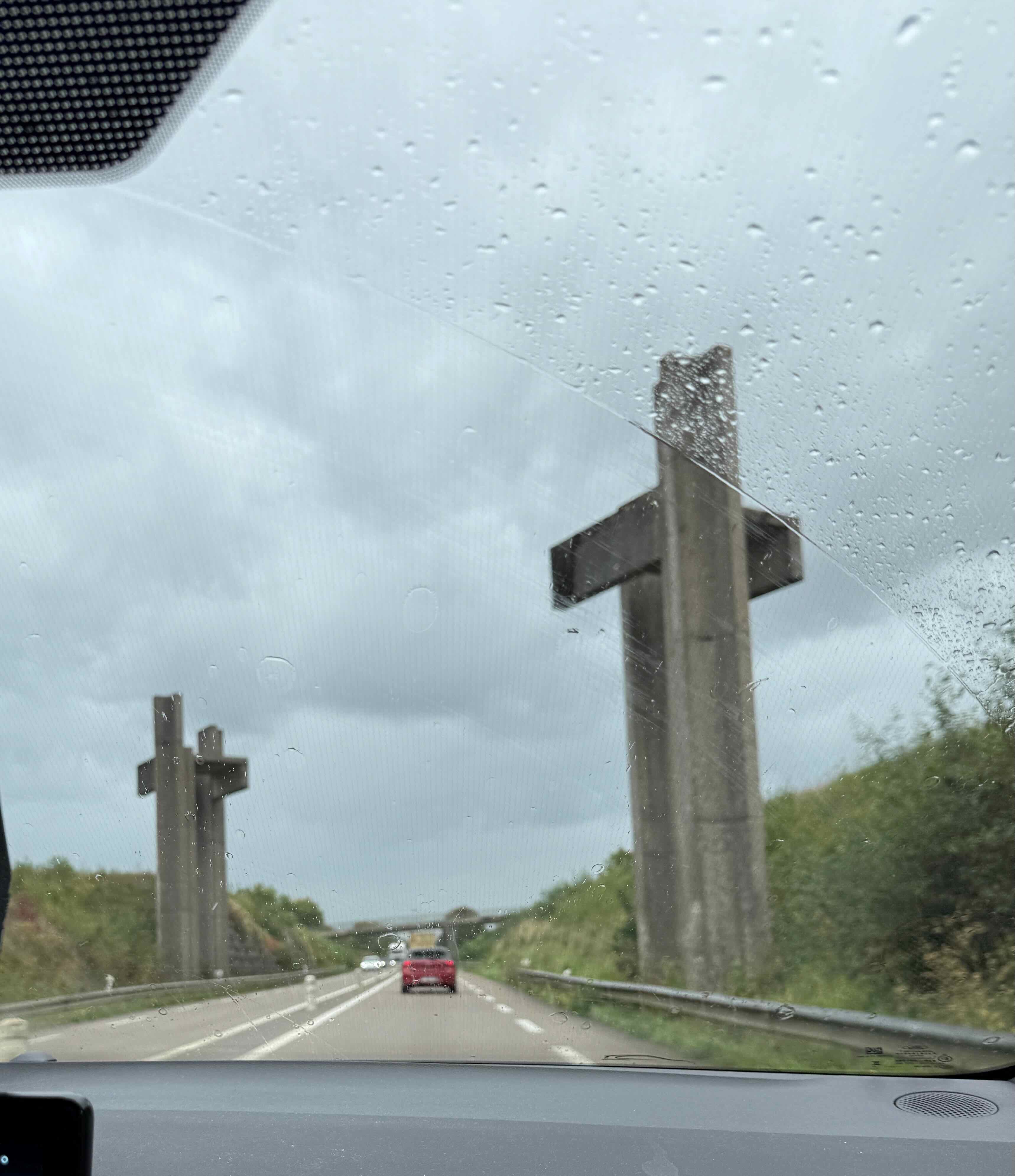

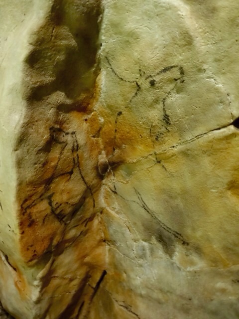
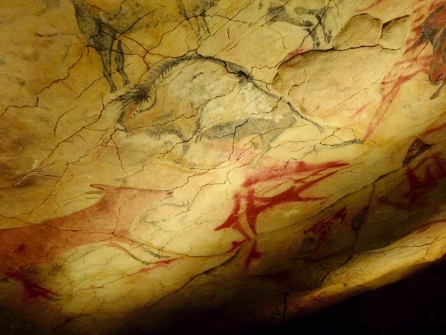
 There are more than 200 painted and engraved figures in Fonte de Gaume organized into compositions in the four main sections of this 120 meter long cave. We visited all but the narrowest section in the Diverticule teminal and the short cave on the right of the entrance.


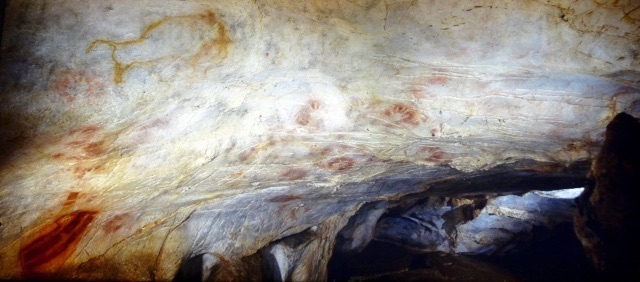
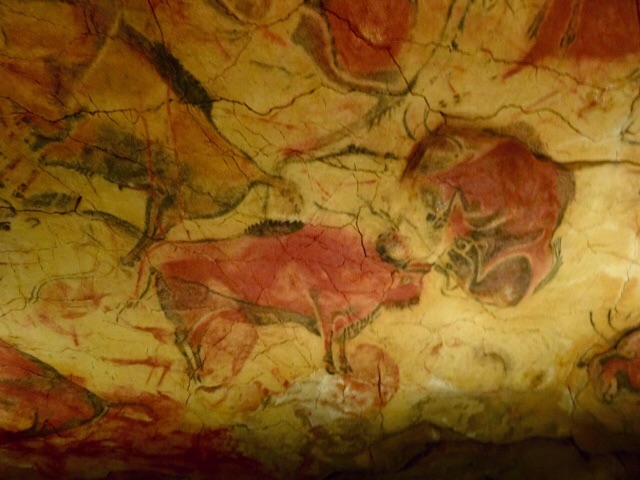
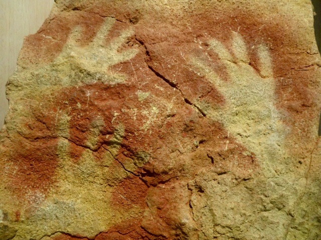
 The first artworks we see are engravings…some of them were made by the artist using his fingers to mark the soft stone. Rouffignac is famous for its Mammoths. 158 mammoths that have been found on the walls of this cave, this is 30% of all mammoth representations in prehistoric cave art. Yet, curiously, there have been few mammoth bones found in this area. We also see cave bear claw marks all over the walls. The parallel vertical lines below this mammoth are from a cave bear scratching his claws on the cave walls.


 I was surprised to see that almost everyone in the group turned towards our guide when he started talking and they stopped looking at the drawings! Really? Couldn’t they have listened but keep looking a the artwork above our heads? It seemed such a waste to be standing here and ignoring these ancient drawings. One very interesting drawing of a mammoth showed its anal flap. Sorry, no photo of that one. Yes, this is a flap that covers the mammoth’s anus to keep it warm. Only someone who had very close contact with a mammoth would know about this detail. This fact was used to help authenticate these drawings, as they were thought to be modern fakes when they were first discovered..


 Once we are inside the cave there are even more stairs…


 The displays here shows some pictures of cave exploration…not for me..it looks cold, wet and exhausting and rather frightening as well. In all, 42 kilometres of galleries have been mapped by speleologists but there are still more areas that have not yet been explored.
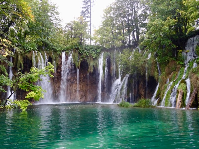
 And there is another lake, twenty metres above the river! Mind boggling! Lake Superior (Upper Lake), is crystal clear and an incredible aqua colour. The round tan shaped formations on the right hand of the photo form a dam that holds the water in this lake.
 “A remarkable stalagmite lies above the lake. It is nicknamed the Pile d’Assiettes (Pile of Plates) because of its surprising resemblance to stacked-up china. It is a typical high-roof stalagmite formed when such a structure exceeds several tens of metres in height. Drops of water fall to the ground at great speed and explode, depositing limestone in circles and giving rise to very flattened formations.” ~


 I am quite relieved that we do not have to climb these steps!


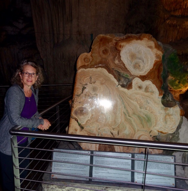
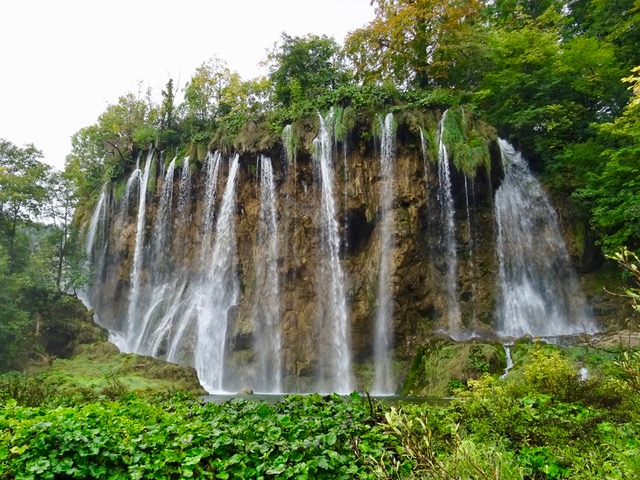
 One last photo in the cave.


 T
T